Sucker Brook is a stream in Oxford County, Maine, located about 25.4 miles south-southeast of Chapman Inn in Bethel, Maine. It appears on the USGS Casco topographic quadrangle.
Jam Hill is a summit in Oxford County, Maine, located about 25.4 miles southeast of Chapman Inn in Bethel, Maine. It appears on the USGS Oxford topographic quadrangle.
Bear Mountain is a summit in Oxford County, Maine, located about 25.4 miles east of Chapman Inn in Bethel, Maine. It appears on the USGS Buckfield topographic quadrangle.
Elephant Mountain is a summit in Oxford County, Maine, located about 25.4 miles north of Chapman Inn in Bethel, Maine. It appears on the USGS Metallak Mountain topographic…
Minister Brook is a stream in Oxford County, Maine, located about 25.4 miles southeast of Chapman Inn in Bethel, Maine. It appears on the USGS Oxford topographic quadrangle.
Berdeen Stream is a stream in Oxford County, Maine, located about 25.5 miles north-northeast of Chapman Inn in Bethel, Maine. It appears on the USGS Houghton topographic quadrangle.
Goat Island is a island in Oxford County, Maine, located about 25.5 miles southeast of Chapman Inn in Bethel, Maine. It appears on the USGS Casco topographic quadrangle.
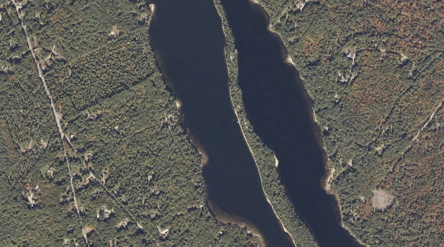
Bog Pond is a lake in Oxford County, Maine, located about 25.5 miles south-southwest of Chapman Inn in Bethel, Maine. It appears on the USGS Fryeburg topographic quadrangle.
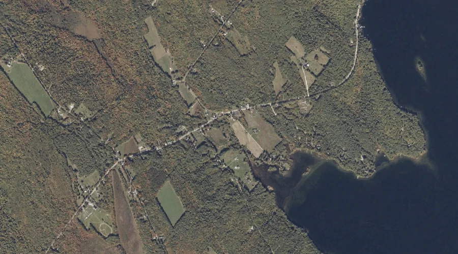
Whitney Pond is a lake in Oxford County, Maine, located about 25.2 miles southeast of Chapman Inn in Bethel, Maine. It appears on the USGS Mechanic Falls topographic…
Knights Brook is a stream in Oxford County, Maine, located about 25.2 miles south-southeast of Chapman Inn in Bethel, Maine. It appears on the USGS Casco topographic quadrangle.