 Aerial imagery: USGS National Map (public domain)
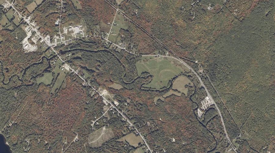
Minister Brook — Streams 25.4 Miles SE of Chapman Inn
Oxford County, Maine · USGS Oxford Quadrangle · GNIS 571420
Catalogued on the USGS Oxford quadrangle in Oxford County, Maine, Minister Brook — a stream — lies 25.4 miles southeast of Chapman Inn.
Landmark Profile
Classification & USGS reference
Catalogued under GNIS Feature ID 571420, Minister Brook is recorded as a stream on the USGS Oxford quadrangle in Oxford County, Maine (FIPS 23/017). Catalogued in GNIS since 09/30/1980.
Coordinates & physical setting
Minister Brook sits at 44.12952° N, 70.44784° W (DMS 44°07′46″ N, 70°26′52″ W).
As a linear feature its source lies near 44.18278° N, 70.44806° W (DMS 44°10′58″ N, 70°26′53″ W) — useful for anglers and paddlers tracing the upstream end.
Other streams in Oxford County, Maine
Oxford County, ME contains 296 streams catalogued in the USGS Geographic Names Information System, counting Minister Brook itself. The ones closest to Minister Brook:
| Feature | USGS Quadrangle | Distance |
|---|---|---|
| Meadow Brook | Oxford | 0.5 mi |
| Willow Brook | Oxford | 2 mi |
| West Branch Bog Brook | Oxford | 3.2 mi |
| Town Farm Brook | Norway | 3.7 mi |
| Dunham Brook | Oxford | 3.9 mi |
| Middle Branch Bog Brook | Oxford | 4 mi |
| Webber Brook | Norway | 4 mi |
| Knights Brook | Casco | 4.5 mi |
| Sucker Brook | Casco | 4.5 mi |
| Noble Brook | Oxford | 4.9 mi |
Features on the USGS Oxford Quadrangle
The Oxford 7.5-minute topographic quadrangle holds 34 catalogued natural features alongside Minister Brook. A sampling nearest to this location:
| Feature | Type | County | Offset |
|---|---|---|---|
| Meadow Brook | Streams | Oxford County, ME | 0.5 mi |
| Little Androscoggin River Reservoir | Reservoirs | Oxford County, ME | 0.7 mi |
| Jam Hill | Summits | Oxford County, ME | 1 mi |
| Robinson Hill | Summits | Oxford County, ME | 1.5 mi |
| Rock-O-Dundee Hill | Summits | Oxford County, ME | 1.7 mi |
| Mount Hunger | Summits | Androscoggin County, ME | 1.9 mi |
| Willow Brook | Streams | Oxford County, ME | 2 mi |
| Sam Rowe Hill | Summits | Oxford County, ME | 2.4 mi |
| Gardner Brook | Streams | Androscoggin County, ME | 2.6 mi |
| Hawkes Hill | Summits | Androscoggin County, ME | 2.8 mi |
Visiting from Chapman Inn
Distance, bearing & drive time
A 44-minute drive along back roads separates the front door of Chapman Inn from Minister Brook — 25.4 miles southeast as the crow flies, on compass bearing SE.
Best time to visit
Best observed in late spring and early summer when flow is strong and banks are visible. At this latitude (44.130°), the shoulder seasons are workable — April and November can be comfortable on mild years. At 25.4 miles from the Inn, block the full day — sunrise start, late return, packed meals. Conditions at Minister Brook track the nearby Meadow Brook stream (0.5 mi away) closely — if that is runnable, so is this.
Nearest features to Minister Brook
| Feature | Type | County | Distance |
|---|---|---|---|
| Meadow Brook | Streams | Oxford County, ME | 0.5 mi |
| Little Androscoggin River Reservoir | Reservoirs | Oxford County, ME | 0.7 mi |
| Jam Hill | Summits | Oxford County, ME | 1 mi |
| Hogan Pond | Lakes | Oxford County, ME | 1.4 mi |
| Robinson Hill | Summits | Oxford County, ME | 1.5 mi |
Frequently Asked Questions
Where is Minister Brook located?
Minister Brook is in Oxford County, Maine, approximately 25.4 miles southeast of Chapman Inn in Bethel, Maine. It appears on the USGS Oxford topographic quadrangle.
How far is Minister Brook from Chapman Inn?
The drive runs about 44 minutes, 25.4 miles southeast (bearing SE) of the Inn.
What type of natural feature is Minister Brook?
The U.S. Geological Survey classifies Minister Brook as a stream, catalogued under GNIS Feature ID 571420 on the Oxford quadrangle.
When is the best time to visit Minister Brook?
Best observed in late spring and early summer when flow is strong and banks are visible.
How many other streams are in Oxford County, Maine?
GNIS lists 295 other streams in Oxford County, Maine.