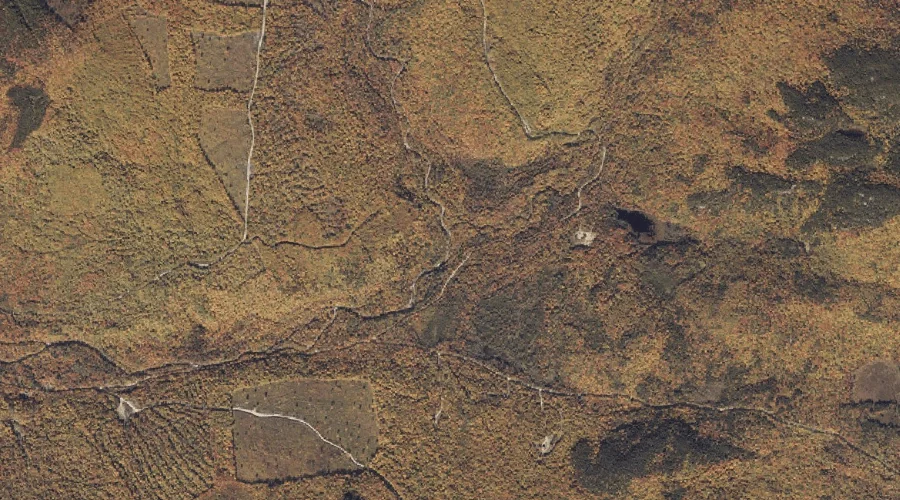
Porcupine Mountain is a summit in Oxford County, Maine, located about 25.2 miles south-southeast of Chapman Inn in Bethel, Maine. It appears on the USGS Casco topographic quadrangle.
Bailey Brook is a stream in Oxford County, Maine, located about 25.2 miles north of Chapman Inn in Bethel, Maine. It appears on the USGS Metallak Mountain topographic…
Stockbridge Branch is a stream in Oxford County, Maine, located about 25.2 miles north-northeast of Chapman Inn in Bethel, Maine. It appears on the USGS Roxbury topographic quadrangle.
Bog Brook is a stream in Oxford County, Maine, located about 25.3 miles east-southeast of Chapman Inn in Bethel, Maine. It appears on the USGS Buckfield topographic quadrangle.
Bicknell Brook is a stream in Oxford County, Maine, located about 25.3 miles east-southeast of Chapman Inn in Bethel, Maine. It appears on the USGS Lake Auburn West…
Severy Hill is a summit in Oxford County, Maine, located about 25.1 miles east-northeast of Chapman Inn in Bethel, Maine. It appears on the USGS East Dixfield topographic…
Bailey Point is a cape in Oxford County, Maine, located about 25.2 miles north of Chapman Inn in Bethel, Maine. It appears on the USGS Metallak Mountain topographic…
Jewett Hill is a summit in Oxford County, Maine, located about 25.2 miles east of Chapman Inn in Bethel, Maine. It appears on the USGS Canton topographic quadrangle.
Drew Brook is a stream in Oxford County, Maine, located about 25.2 miles east-southeast of Chapman Inn in Bethel, Maine. It appears on the USGS Buckfield topographic quadrangle.
Pinnacle is a summit in Oxford County, Maine, located about 24.8 miles east-northeast of Chapman Inn in Bethel, Maine. It appears on the USGS East Dixfield topographic quadrangle.