B Pond is a lake in Oxford County, Maine, located about 24.9 miles north-northwest of Chapman Inn in Bethel, Maine. It appears on the USGS B Pond topographic…
College Swamp is a swamp in Oxford County, Maine, located about 24.9 miles south-southeast of Chapman Inn in Bethel, Maine. It appears on the USGS Casco topographic quadrangle.
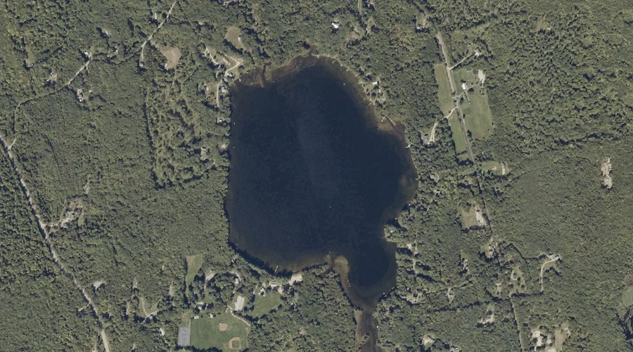
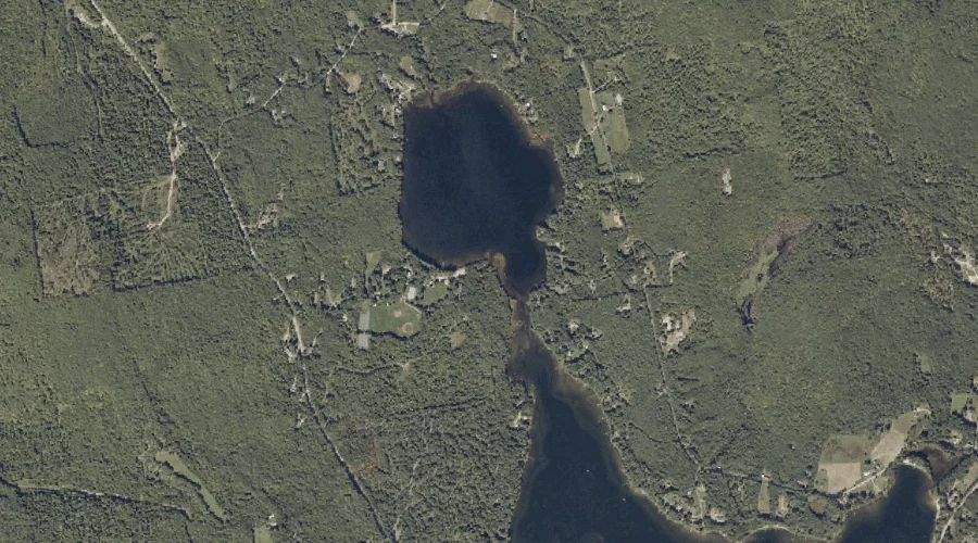
Little Bear Pond is a lake in Oxford County, Maine, located about 24.9 miles east of Chapman Inn in Bethel, Maine. It appears on the USGS Buckfield topographic…
Hayford Brook is a stream in Oxford County, Maine, located about 24.9 miles east of Chapman Inn in Bethel, Maine. It appears on the USGS Buckfield topographic quadrangle.
Robinson Hill is a summit in Oxford County, Maine, located about 25.0 miles southeast of Chapman Inn in Bethel, Maine. It appears on the USGS Oxford topographic quadrangle.
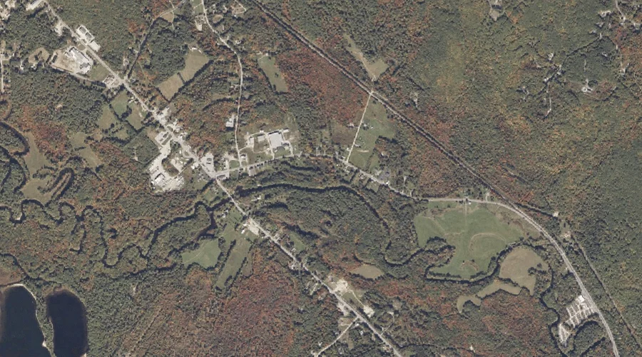
Meadow Brook is a stream in Oxford County, Maine, located about 25.0 miles southeast of Chapman Inn in Bethel, Maine. It appears on the USGS Oxford topographic quadrangle.
Canton Mountain is a summit in Oxford County, Maine, located about 25.0 miles east-northeast of Chapman Inn in Bethel, Maine. It appears on the USGS East Dixfield topographic…
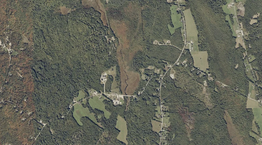
Allen Brook is a stream in Oxford County, Maine, located about 25.0 miles east-southeast of Chapman Inn in Bethel, Maine. It appears on the USGS Lake Auburn West…
West Branch Swift River is a stream in Oxford County, Maine, located about 25.0 miles north-northeast of Chapman Inn in Bethel, Maine. It appears on the USGS Houghton…
The Bar is a cape in Oxford County, Maine, located about 24.8 miles southeast of Chapman Inn in Bethel, Maine. It appears on the USGS Mechanic Falls topographic…