 Aerial imagery: USGS National Map (public domain)
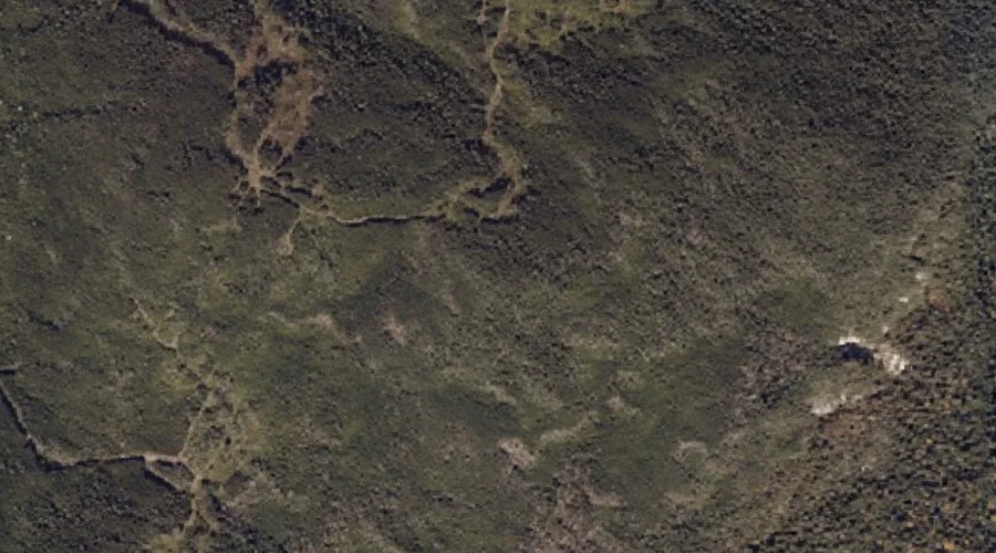
Elephant Mountain — Summits 25.4 Miles N of Chapman Inn
Oxford County, Maine · USGS Metallak Mountain Quadrangle · GNIS 565831
Catalogued on the USGS Metallak Mountain quadrangle in Oxford County, Maine, Elephant Mountain — a summit — lies 25.4 miles north of Chapman Inn.
Landmark Profile
Classification & USGS reference
Catalogued under GNIS Feature ID 565831, Elephant Mountain is recorded as a summit on the USGS Metallak Mountain quadrangle in Oxford County, Maine (FIPS 23/017). Last revised by the Board on Geographic Names on 07/02/2022.
Coordinates & physical setting
Elephant Mountain sits at 44.77254° N, 70.77446° W (DMS 44°46′21″ N, 70°46′28″ W).
Other summits in Oxford County, Maine
Oxford County, ME contains 438 summits catalogued in the USGS Geographic Names Information System, counting Elephant Mountain itself. The ones closest to Elephant Mountain:
| Feature | USGS Quadrangle | Elevation | Distance |
|---|---|---|---|
| Metallak Mountain | Metallak Mountain | — | 2.9 mi |
| Sawyer Mountain | Andover | — | 4.2 mi |
| Moody Mountain | Andover | — | 4.3 mi |
| Dunham Hill | Ellis Pond | — | 4.8 mi |
| Pleasant Mountain | Ellis Pond | — | 4.9 mi |
| Black Cat Mountain | Andover | — | 5.3 mi |
| C Bluff Mountain | Andover | — | 5.3 mi |
| Hall Mountain | Andover | — | 5.5 mi |
| Wyman Mountain | Andover | — | 7 mi |
| Old Turk Mountain | Ellis Pond | — | 7.3 mi |
Features on the USGS Metallak Mountain Quadrangle
The Metallak Mountain 7.5-minute topographic quadrangle holds 16 catalogued natural features alongside Elephant Mountain. A sampling nearest to this location:
| Feature | Type | County | Offset |
|---|---|---|---|
| Bemis Mountain | Summits | Franklin County, ME | 1.6 mi |
| Icicle Brook | Streams | Oxford County, ME | 2.7 mi |
| Metallak Mountain | Summits | Oxford County, ME | 2.9 mi |
| Metallak Pond | Lakes | Oxford County, ME | 3.7 mi |
| South Arm Lower Richardson Lake | Bays | Oxford County, ME | 4 mi |
| Bailey Brook | Streams | Oxford County, ME | 4.3 mi |
| Bailey Point | Capes | Oxford County, ME | 4.3 mi |
| Metallak Brook | Streams | Oxford County, ME | 5.2 mi |
| Metallak Stream | Streams | Oxford County, ME | 5.5 mi |
| Pine Island | Islands | Oxford County, ME | 5.7 mi |
Historical record
The U.S. Board on Geographic Names recorded a Official (Board Decision) on January 1, 1938 for this name.
Visiting from Chapman Inn
Distance, bearing & drive time
A 44-minute drive along back roads separates the front door of Chapman Inn from Elephant Mountain — 25.4 miles north as the crow flies, on compass bearing N.
Best time to visit
Accessible May through November in most years. At this latitude (44.773°), the shoulder seasons are workable — April and November can be comfortable on mild years. At 25.4 miles from the Inn, block the full day — sunrise start, late return, packed meals. Conditions at Elephant Mountain track the nearby Bemis Mountain summit (1.6 mi away) closely — if that is runnable, so is this.
Nearest features to Elephant Mountain
| Feature | Type | County | Distance |
|---|---|---|---|
| Bemis Mountain | Summits | Franklin County, ME | 1.6 mi |
| Old Blue Mountain | Summits | Franklin County, ME | 1.8 mi |
| Icicle Brook | Streams | Oxford County, ME | 2.7 mi |
| Birch Brook | Streams | Oxford County, ME | 2.9 mi |
| Clearwater Brook | Streams | Oxford County, ME | 2.9 mi |
Frequently Asked Questions
Where is Elephant Mountain located?
Elephant Mountain is in Oxford County, Maine, approximately 25.4 miles north of Chapman Inn in Bethel, Maine. It appears on the USGS Metallak Mountain topographic quadrangle.
How far is Elephant Mountain from Chapman Inn?
The drive runs about 44 minutes, 25.4 miles north (bearing N) of the Inn.
What type of natural feature is Elephant Mountain?
The U.S. Geological Survey classifies Elephant Mountain as a summit, catalogued under GNIS Feature ID 565831 on the Metallak Mountain quadrangle.
When is the best time to visit Elephant Mountain?
Accessible May through November in most years.
How many other summits are in Oxford County, Maine?
GNIS lists 437 other summits in Oxford County, Maine.