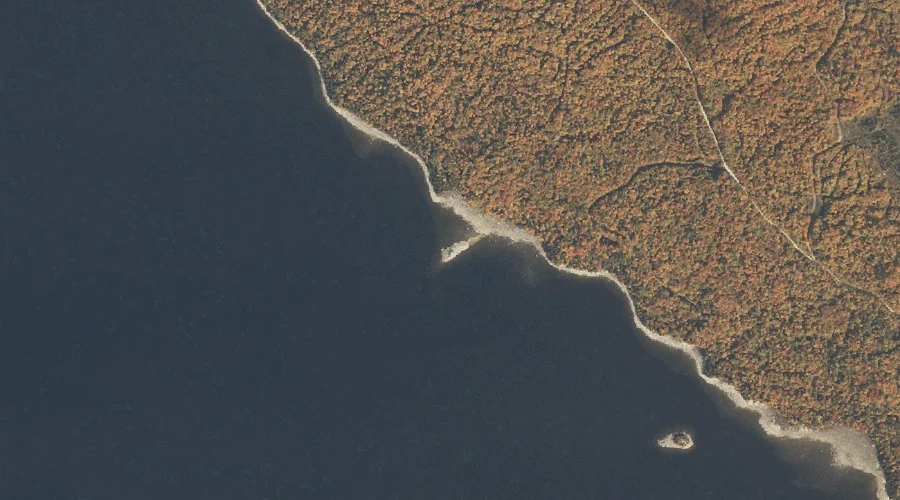
Hardscrabble Island is a island in Oxford County, Maine, located about 26.0 miles north of Chapman Inn in Bethel, Maine. It appears on the USGS Middle Dam topographic…
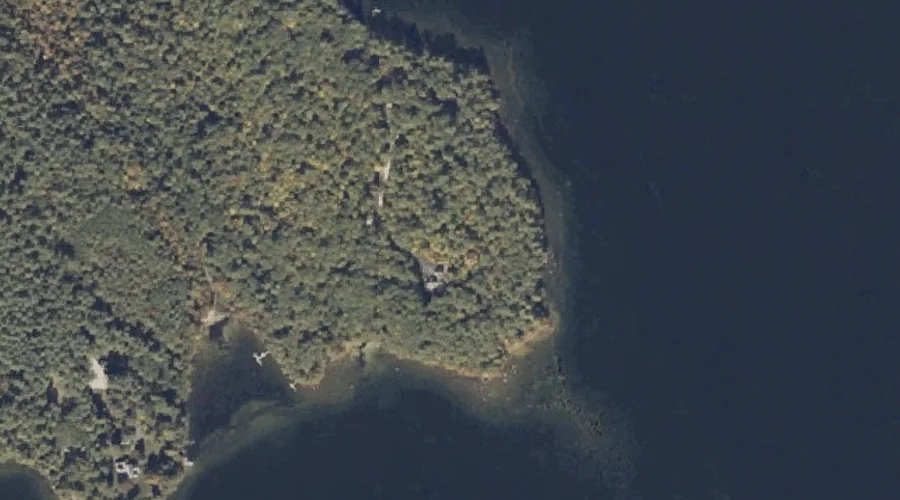
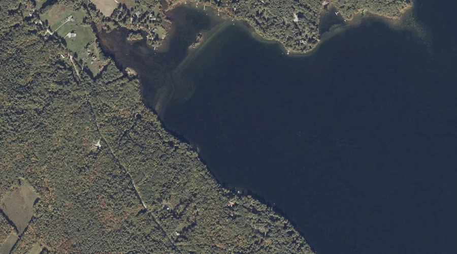
Long Point is a cape in Oxford County, Maine, located about 25.8 miles south-southeast of Chapman Inn in Bethel, Maine. It appears on the USGS Casco topographic quadrangle.
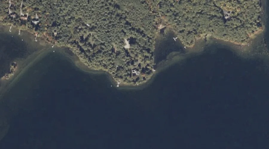
Nutting Ledge is a bench terrace in Oxford County, Maine, located about 25.8 miles south-southeast of Chapman Inn in Bethel, Maine. It appears on the USGS Casco topographic…
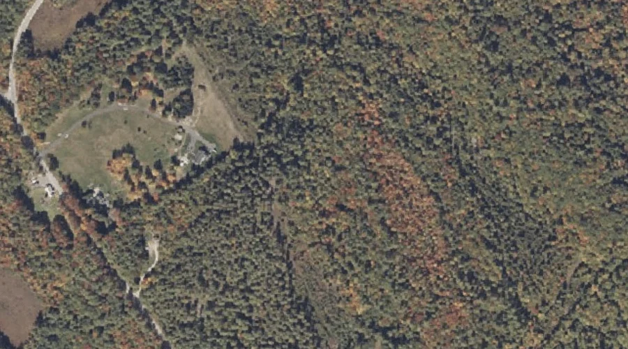
Mount Tom is a summit in Oxford County, Maine, located about 25.8 miles south-southwest of Chapman Inn in Bethel, Maine. It appears on the USGS Fryeburg topographic quadrangle.
The Cape is a cape in Oxford County, Maine, located about 25.8 miles south-southeast of Chapman Inn in Bethel, Maine. It appears on the USGS Casco topographic quadrangle.
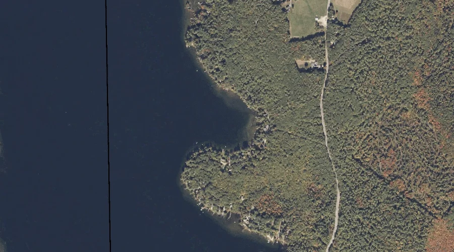
Haynes Cove is a bay in Oxford County, Maine, located about 25.9 miles southeast of Chapman Inn in Bethel, Maine. It appears on the USGS Mechanic Falls topographic…
Evans Ledge is a summit in Oxford County, Maine, located about 25.9 miles south of Chapman Inn in Bethel, Maine. It appears on the USGS Pleasant Mountain topographic…
Otisfield Cove is a bay in Oxford County, Maine, located about 25.9 miles south-southeast of Chapman Inn in Bethel, Maine. It appears on the USGS Casco topographic quadrangle.
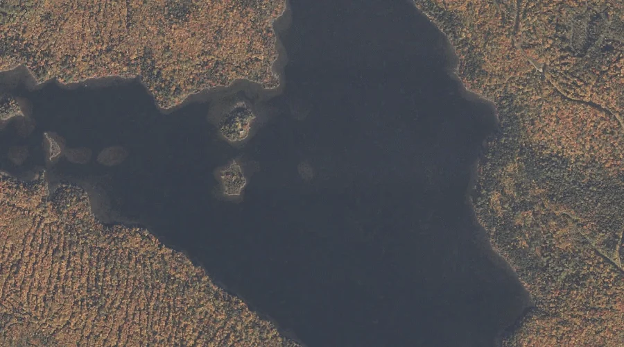
Richardson Lake is a reservoir in Oxford County, Maine, located about 25.6 miles north-northwest of Chapman Inn in Bethel, Maine. It appears on the USGS Middle Dam topographic…
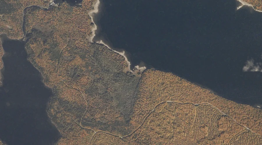
Blackcat Brook is a stream in Oxford County, Maine, located about 25.6 miles north-northwest of Chapman Inn in Bethel, Maine. It appears on the USGS Middle Dam topographic…