 Aerial imagery: USGS National Map (public domain)
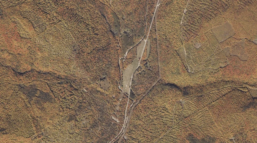
Berdeen Stream — Streams 25.5 Miles NNE of Chapman Inn
Oxford County, Maine · USGS Houghton Quadrangle · GNIS 562072
Catalogued on the USGS Houghton quadrangle in Oxford County, Maine, Berdeen Stream — a stream — lies 25.5 miles north-northeast of Chapman Inn.
Landmark Profile
Classification & USGS reference
Catalogued under GNIS Feature ID 562072, Berdeen Stream is recorded as a stream on the USGS Houghton quadrangle in Oxford County, Maine (FIPS 23/017). Catalogued in GNIS since 09/30/1980.
Coordinates & physical setting
Berdeen Stream sits at 44.75978° N, 70.65090° W (DMS 44°45′35″ N, 70°39′03″ W).
As a linear feature its source lies near 44.81528° N, 70.68472° W (DMS 44°48′55″ N, 70°41′05″ W) — useful for anglers and paddlers tracing the upstream end.
Other streams in Oxford County, Maine
Oxford County, ME contains 296 streams catalogued in the USGS Geographic Names Information System, counting Berdeen Stream itself. The ones closest to Berdeen Stream:
| Feature | USGS Quadrangle | Distance |
|---|---|---|
| West Branch Swift River | Houghton | 0.4 mi |
| East Branch Swift River | Ellis Pond | 1.4 mi |
| Mott Stream | Houghton | 1.5 mi |
| Stockbridge Branch | Roxbury | 3.4 mi |
| Phelps Brook | Ellis Pond | 4.3 mi |
| Beaver Brook | Ellis Pond | 5.2 mi |
| York Brook | Ellis Pond | 5.3 mi |
| Noisy Brook | Roxbury | 5.4 mi |
| Thomas Farm Brook | Roxbury | 5.6 mi |
| West Fork Beaver Brook | Ellis Pond | 5.9 mi |
Features on the USGS Houghton Quadrangle
The Houghton 7.5-minute topographic quadrangle holds 18 catalogued natural features alongside Berdeen Stream. A sampling nearest to this location:
| Feature | Type | County | Offset |
|---|---|---|---|
| West Branch Swift River | Streams | Oxford County, ME | 0.4 mi |
| Mott Stream | Streams | Oxford County, ME | 1.5 mi |
| Mountain Brook | Streams | Franklin County, ME | 3.1 mi |
| Brimstone Mountain | Summits | Franklin County, ME | 3.1 mi |
| Angel Falls | Waterfalls | Franklin County, ME | 3.3 mi |
| Beaver Pond | Lakes | Franklin County, ME | 4.1 mi |
| Spencer Pond | Lakes | Franklin County, ME | 4.7 mi |
| Round Pond | Lakes | Franklin County, ME | 5.2 mi |
| Sabbath Day Pond | Lakes | Franklin County, ME | 5.5 mi |
| Long Pond | Lakes | Franklin County, ME | 5.9 mi |
Visiting from Chapman Inn
Distance, bearing & drive time
A 44-minute drive along back roads separates the front door of Chapman Inn from Berdeen Stream — 25.5 miles north-northeast as the crow flies, on compass bearing NNE.
Best time to visit
Best observed in late spring and early summer when flow is strong and banks are visible. At this latitude (44.760°), the shoulder seasons are workable — April and November can be comfortable on mild years. At 25.5 miles from the Inn, block the full day — sunrise start, late return, packed meals. Conditions at Berdeen Stream track the nearby West Branch Swift River stream (0.4 mi away) closely — if that is runnable, so is this.
Nearest features to Berdeen Stream
| Feature | Type | County | Distance |
|---|---|---|---|
| West Branch Swift River | Streams | Oxford County, ME | 0.4 mi |
| East Branch Swift River | Streams | Oxford County, ME | 1.4 mi |
| Mott Stream | Streams | Oxford County, ME | 1.5 mi |
| Dolly Mountain | Summits | Oxford County, ME | 2 mi |
| Pleasant Mountain | Summits | Oxford County, ME | 2.6 mi |
Frequently Asked Questions
Where is Berdeen Stream located?
Berdeen Stream is in Oxford County, Maine, approximately 25.5 miles north-northeast of Chapman Inn in Bethel, Maine. It appears on the USGS Houghton topographic quadrangle.
How far is Berdeen Stream from Chapman Inn?
The drive runs about 44 minutes, 25.5 miles north-northeast (bearing NNE) of the Inn.
What type of natural feature is Berdeen Stream?
The U.S. Geological Survey classifies Berdeen Stream as a stream, catalogued under GNIS Feature ID 562072 on the Houghton quadrangle.
When is the best time to visit Berdeen Stream?
Best observed in late spring and early summer when flow is strong and banks are visible.
How many other streams are in Oxford County, Maine?
GNIS lists 295 other streams in Oxford County, Maine.