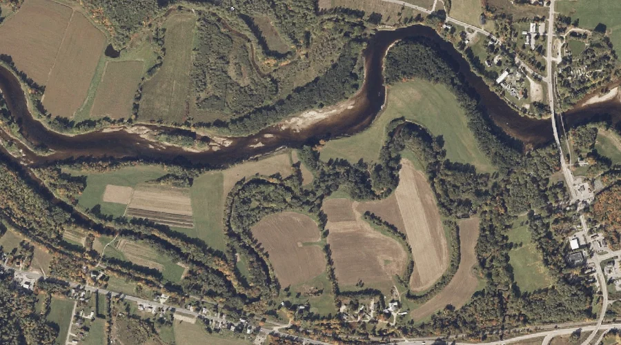
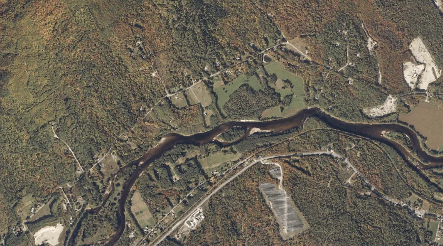
Bond Island is a island in Oxford County, Maine, located about 1.2 miles northwest of Chapman Inn in Bethel, Maine. It appears on the USGS Bethel topographic quadrangle.
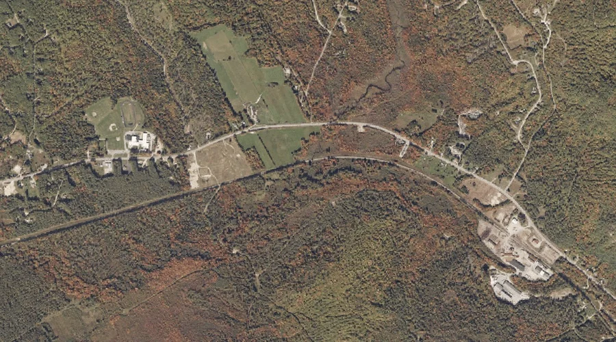
Paradise Hill is a summit in Oxford County, Maine, located about 1.3 miles southeast of Chapman Inn in Bethel, Maine. It appears on the USGS Bethel topographic quadrangle.
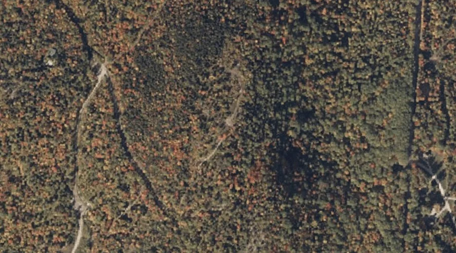
Robinson Hill is a summit in Oxford County, Maine, located about 1.8 miles west of Chapman Inn in Bethel, Maine. It appears on the USGS Bethel topographic quadrangle.
Twitchell Brook is a stream in Oxford County, Maine, located about 1.9 miles north-northwest of Chapman Inn in Bethel, Maine. It appears on the USGS Bethel topographic quadrangle.
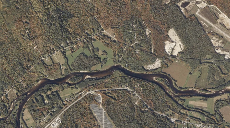
Chandler Brook is a stream in Oxford County, Maine, located about 2.0 miles east-northeast of Chapman Inn in Bethel, Maine. It appears on the USGS Bethel topographic quadrangle.
Chapman Brook is a stream in Oxford County, Maine, located about 2.4 miles west-northwest of Chapman Inn in Bethel, Maine. It appears on the USGS Bethel topographic quadrangle.
Grover Hill is a summit in Oxford County, Maine, located about 2.5 miles south-southeast of Chapman Inn in Bethel, Maine. It appears on the USGS East Stoneham topographic…
Sparrowhawk Mountain is a summit in Oxford County, Maine, located about 2.7 miles west-southwest of Chapman Inn in Bethel, Maine. It appears on the USGS Bethel topographic quadrangle.
Lanes Brook is a stream in Oxford County, Maine, located about 2.9 miles west-northwest of Chapman Inn in Bethel, Maine. It appears on the USGS Bethel topographic quadrangle.