Sand Island is a island in Oxford County, Maine, located about 25.6 miles south-southeast of Chapman Inn in Bethel, Maine. It appears on the USGS Casco topographic quadrangle.
Pond in the River is a lake in Oxford County, Maine, located about 25.6 miles north-northwest of Chapman Inn in Bethel, Maine. It appears on the USGS Middle…
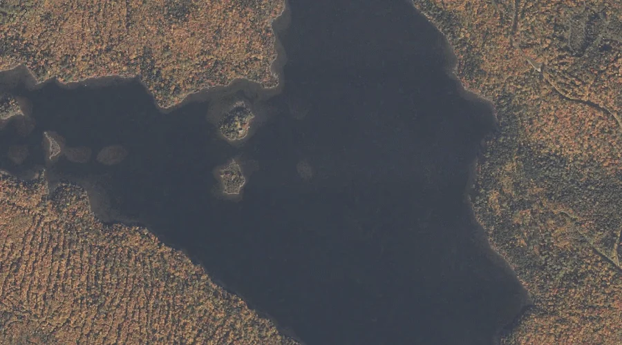
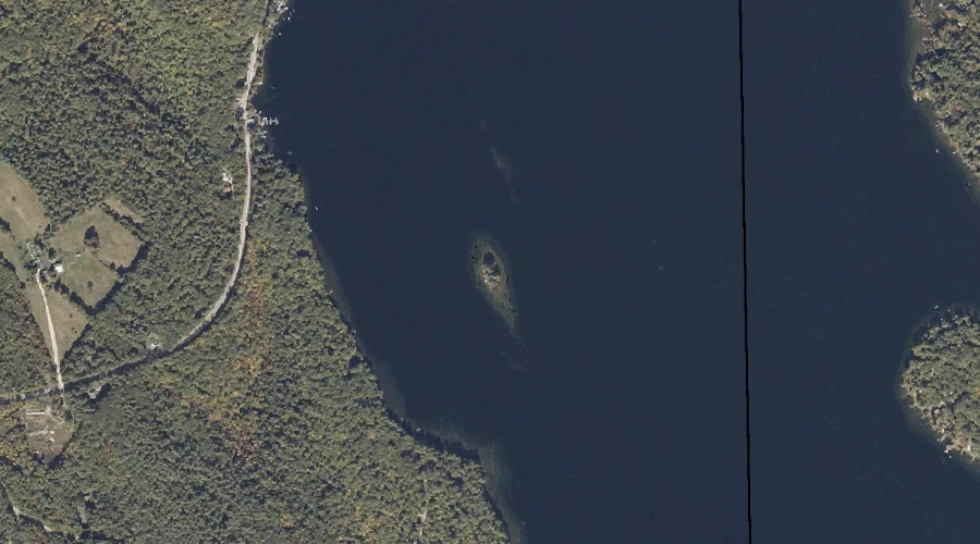
Richardson Lake is a reservoir in Oxford County, Maine, located about 25.6 miles north-northwest of Chapman Inn in Bethel, Maine. It appears on the USGS Middle Dam topographic…
Blackcat Brook is a stream in Oxford County, Maine, located about 25.6 miles north-northwest of Chapman Inn in Bethel, Maine. It appears on the USGS Middle Dam topographic…
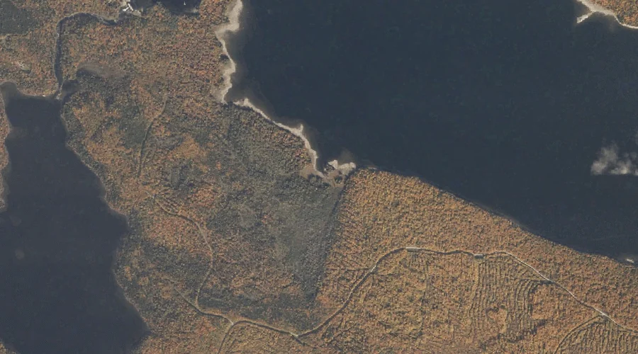
Spirt Island is a island in Oxford County, Maine, located about 25.7 miles north of Chapman Inn in Bethel, Maine. It appears on the USGS Middle Dam topographic…
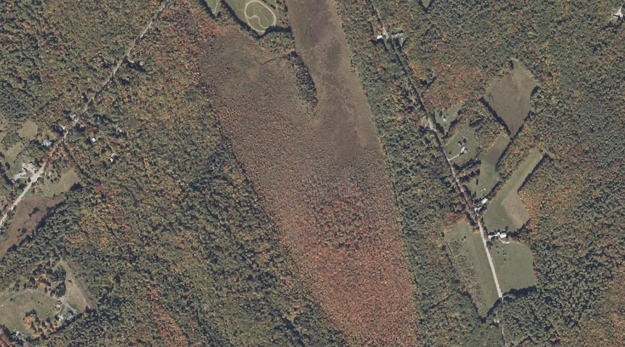
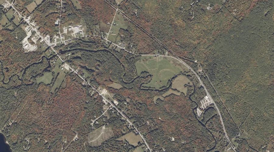
Coon Road Swamp is a swamp in Oxford County, Maine, located about 25.7 miles south-southeast of Chapman Inn in Bethel, Maine. It appears on the USGS Casco topographic…
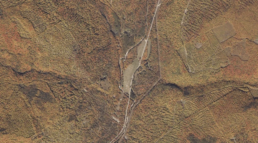
Minister Brook is a stream in Oxford County, Maine, located about 25.4 miles southeast of Chapman Inn in Bethel, Maine. It appears on the USGS Oxford topographic quadrangle.
Berdeen Stream is a stream in Oxford County, Maine, located about 25.5 miles north-northeast of Chapman Inn in Bethel, Maine. It appears on the USGS Houghton topographic quadrangle.
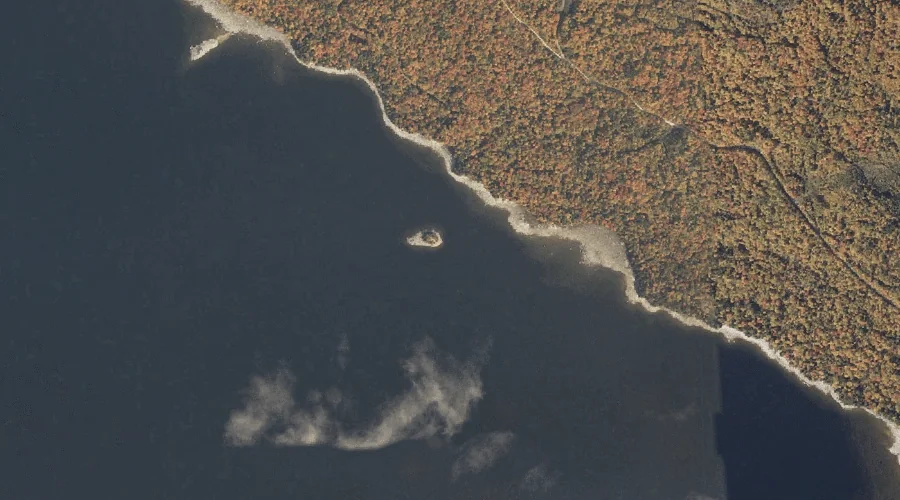
Goat Island is a island in Oxford County, Maine, located about 25.5 miles southeast of Chapman Inn in Bethel, Maine. It appears on the USGS Casco topographic quadrangle.
Bog Pond is a lake in Oxford County, Maine, located about 25.5 miles south-southwest of Chapman Inn in Bethel, Maine. It appears on the USGS Fryeburg topographic quadrangle.