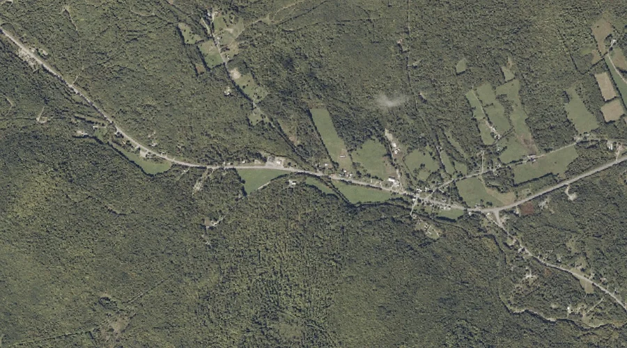
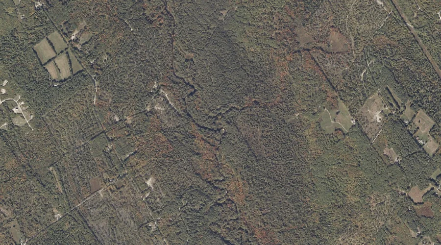
Hugh Brook is a stream in Oxford County, Maine, located about 26.2 miles east-northeast of Chapman Inn in Bethel, Maine. It appears on the USGS East Dixfield topographic…
Middle Branch Bog Brook is a stream in Oxford County, Maine, located about 26.2 miles southeast of Chapman Inn in Bethel, Maine. It appears on the USGS Oxford…
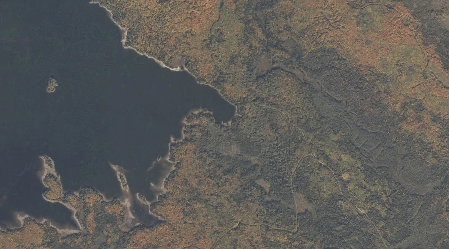
Tyler Cove is a bay in Oxford County, Maine, located about 26.3 miles north-northwest of Chapman Inn in Bethel, Maine. It appears on the USGS Umbagog Lake South…
Lower Richardson Lake is a reservoir in Oxford County, Maine, located about 26.3 miles north of Chapman Inn in Bethel, Maine. It appears on the USGS Middle Dam…
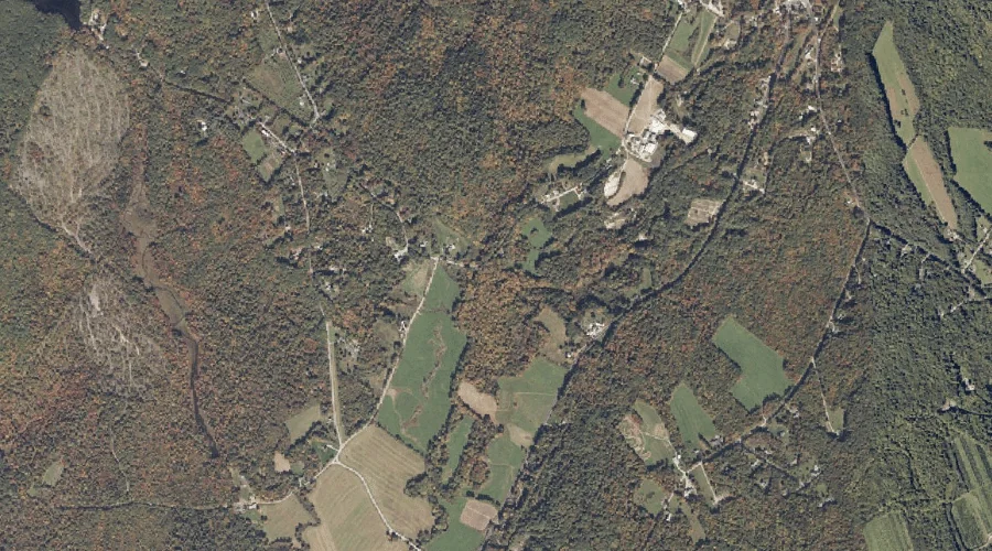
Hayes Point is a cape in Oxford County, Maine, located about 25.9 miles southeast of Chapman Inn in Bethel, Maine. It appears on the USGS Mechanic Falls topographic…
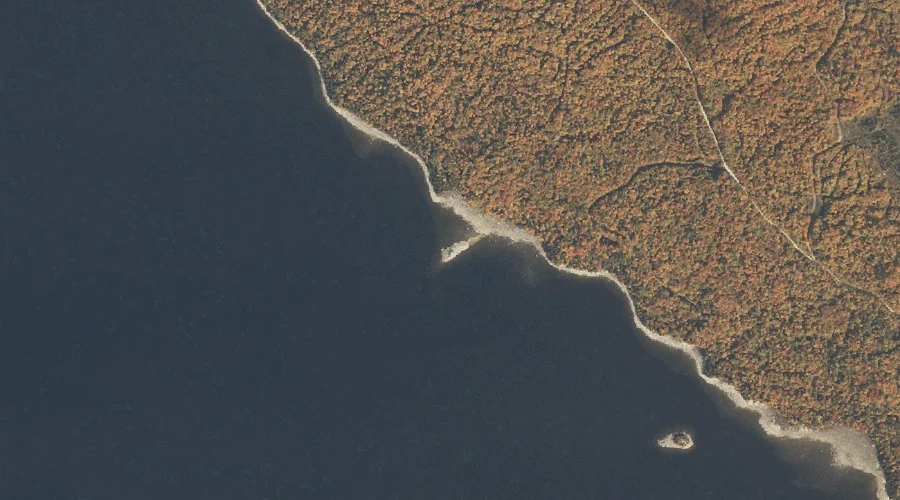
Tyler Brook is a stream in Oxford County, Maine, located about 26.0 miles north-northwest of Chapman Inn in Bethel, Maine. It appears on the USGS Umbagog Lake South…
Hardscrabble Island is a island in Oxford County, Maine, located about 26.0 miles north of Chapman Inn in Bethel, Maine. It appears on the USGS Middle Dam topographic…
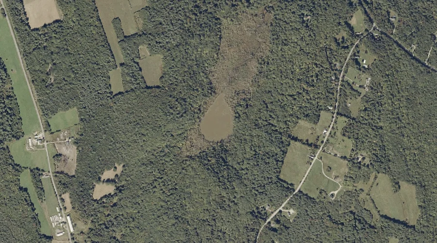
Mud Pond is a lake in Oxford County, Maine, located about 26.1 miles east-southeast of Chapman Inn in Bethel, Maine. It appears on the USGS Lake Auburn West…
Dead Hole Brook is a stream in Oxford County, Maine, located about 26.1 miles south-southeast of Chapman Inn in Bethel, Maine. It appears on the USGS Casco topographic…
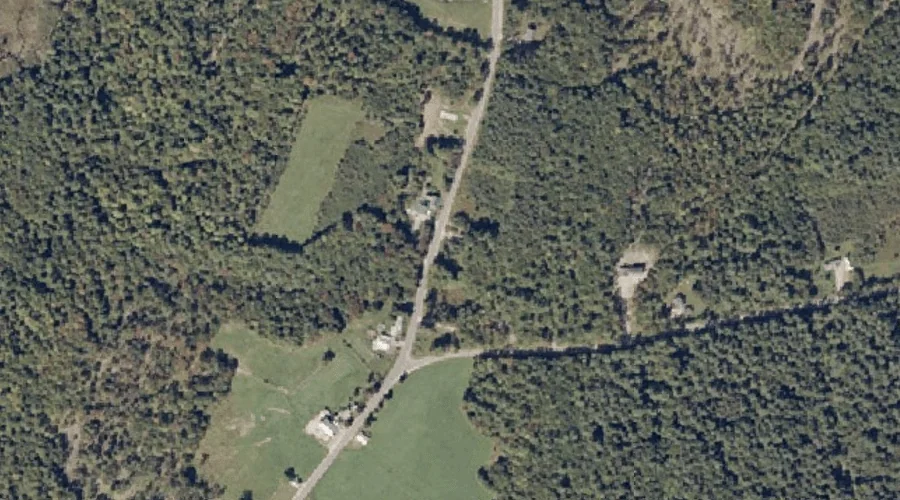
Brighton Hill is a summit in Oxford County, Maine, located about 25.9 miles east-southeast of Chapman Inn in Bethel, Maine. It appears on the USGS Lake Auburn West…