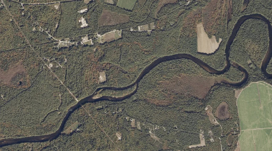
Pigeon Brook is a stream in Cumberland County, Maine, located about 42.1 miles south of Chapman Inn in Bethel, Maine. It appears on the USGS Steep Falls topographic…
Outlet Brook is a stream in Cumberland County, Maine, located about 42.1 miles south-southeast of Chapman Inn in Bethel, Maine. It appears on the USGS North Windham topographic…
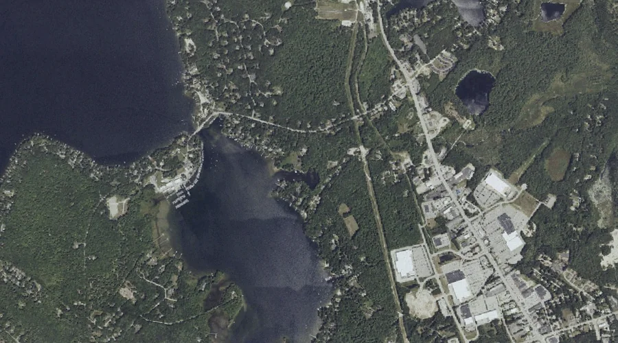
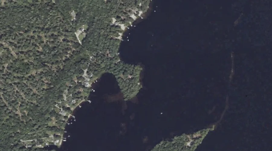
Hunger Bay is a bay in Cumberland County, Maine, located about 42.1 miles south-southeast of Chapman Inn in Bethel, Maine. It appears on the USGS North Windham topographic…
Boody Meadow is a swamp in Cumberland County, Maine, located about 42.2 miles south-southeast of Chapman Inn in Bethel, Maine. It appears on the USGS North Windham topographic…
Shelldrake Point is a cape in Cumberland County, Maine, located about 42.2 miles south-southeast of Chapman Inn in Bethel, Maine. It appears on the USGS North Windham topographic…
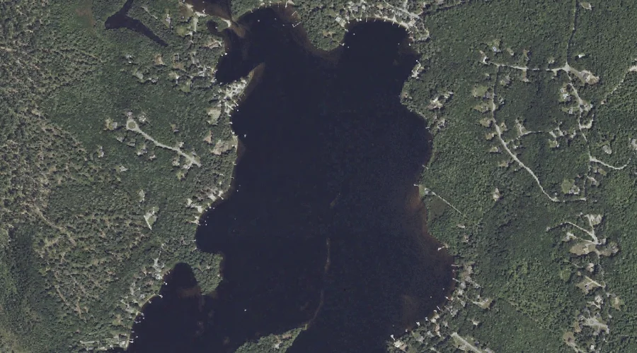
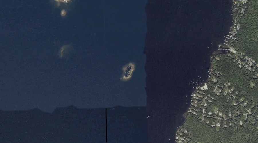
Merrill Isle is a island in Cumberland County, Maine, located about 41.9 miles south-southeast of Chapman Inn in Bethel, Maine. It appears on the USGS North Windham topographic…
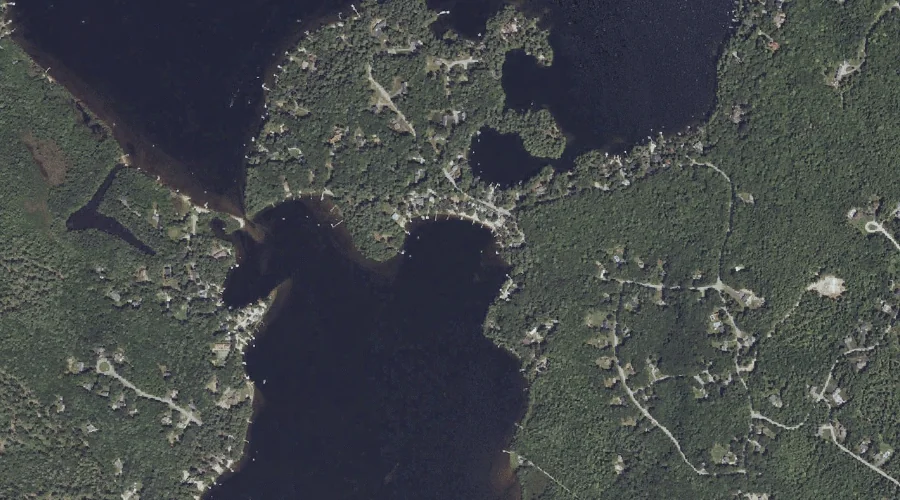
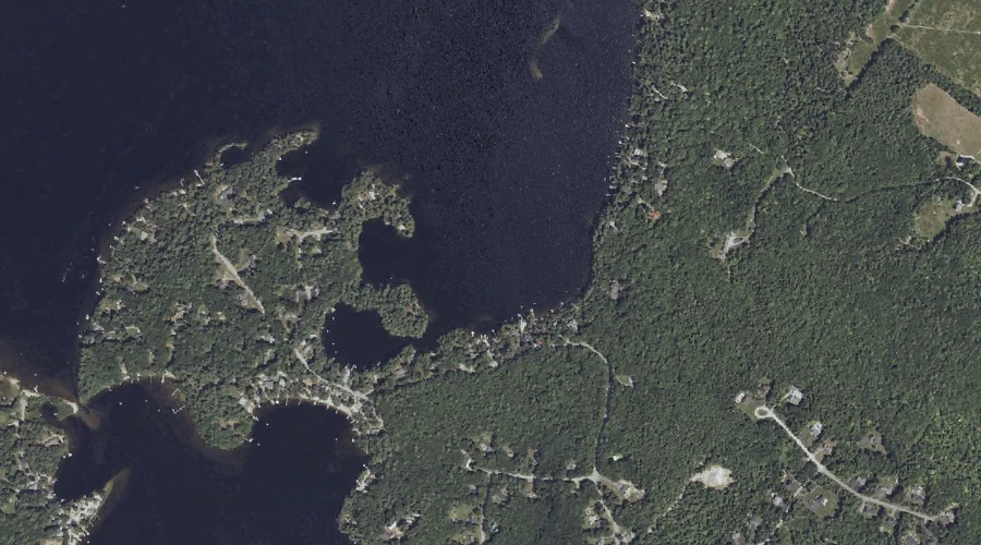
Hall Cove is a bay in Cumberland County, Maine, located about 41.9 miles south-southeast of Chapman Inn in Bethel, Maine. It appears on the USGS North Windham topographic…
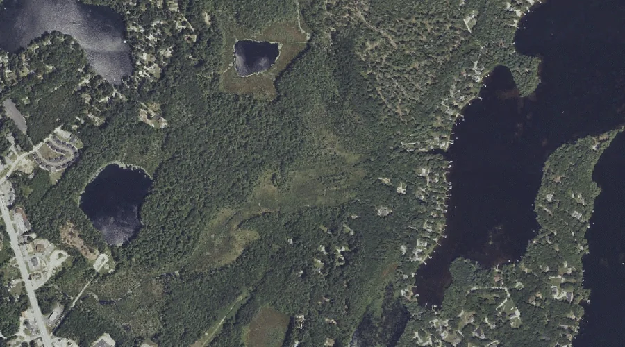
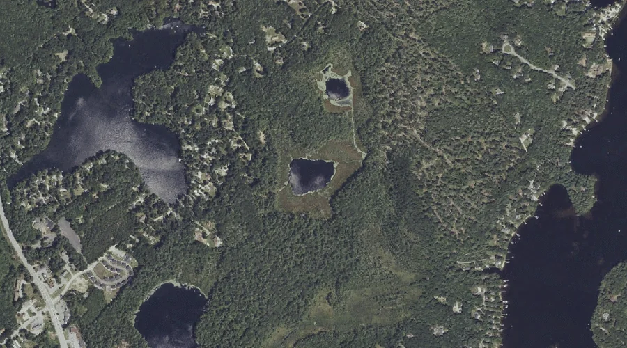
Mud Ponds is a lake in Cumberland County, Maine, located about 41.9 miles south-southeast of Chapman Inn in Bethel, Maine. It appears on the USGS North Windham topographic…
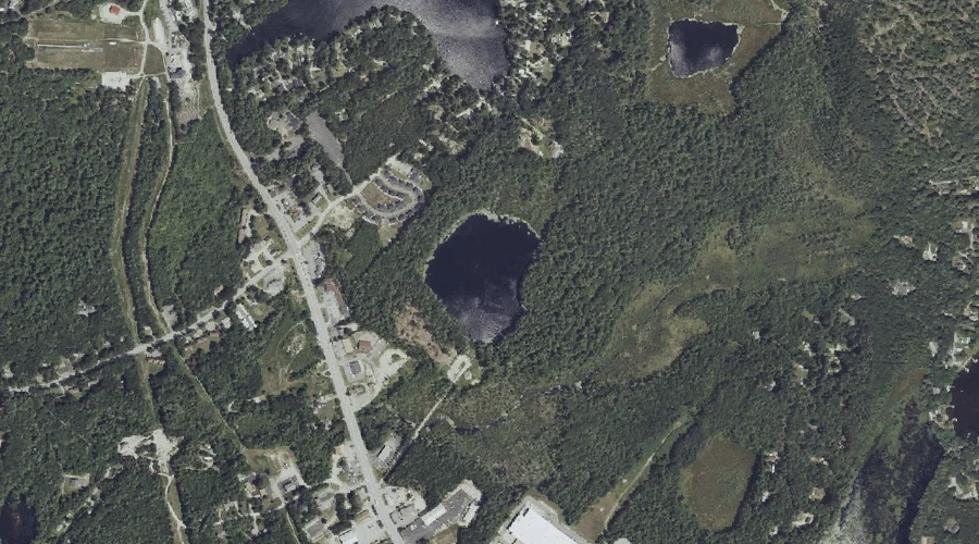
Chaffin Pond is a lake in Cumberland County, Maine, located about 42.1 miles south-southeast of Chapman Inn in Bethel, Maine. It appears on the USGS North Windham topographic…
Hall Cove is a bay in Cumberland County, Maine, located about 41.8 miles south-southeast of Chapman Inn in Bethel, Maine. It appears on the USGS North Windham topographic…