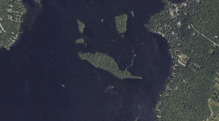
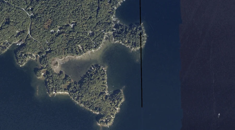
Horse Island is a island in Cumberland County, Maine, located about 41.2 miles south-southeast of Chapman Inn in Bethel, Maine. It appears on the USGS North Windham topographic…
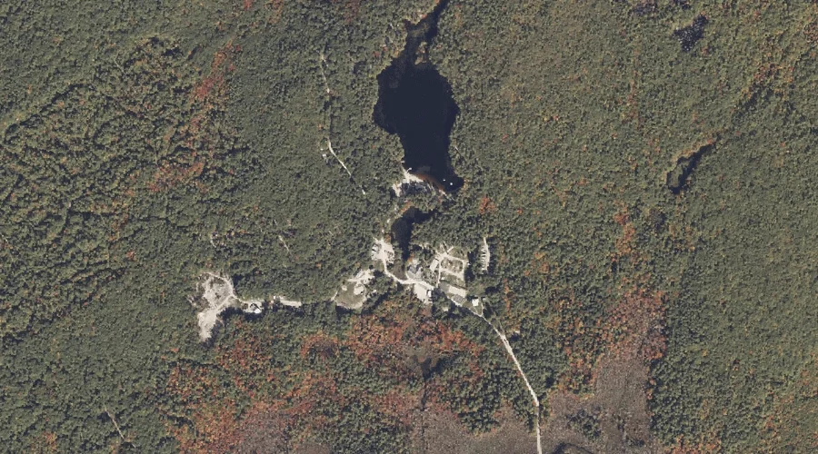
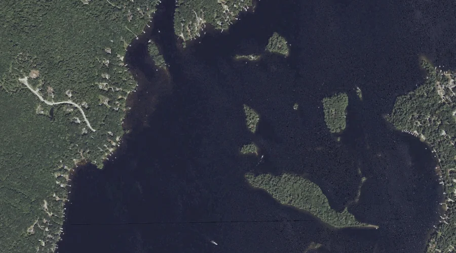
Sanborn Pond is a reservoir in Cumberland County, Maine, located about 41.2 miles south of Chapman Inn in Bethel, Maine. It appears on the USGS Steep Falls topographic…
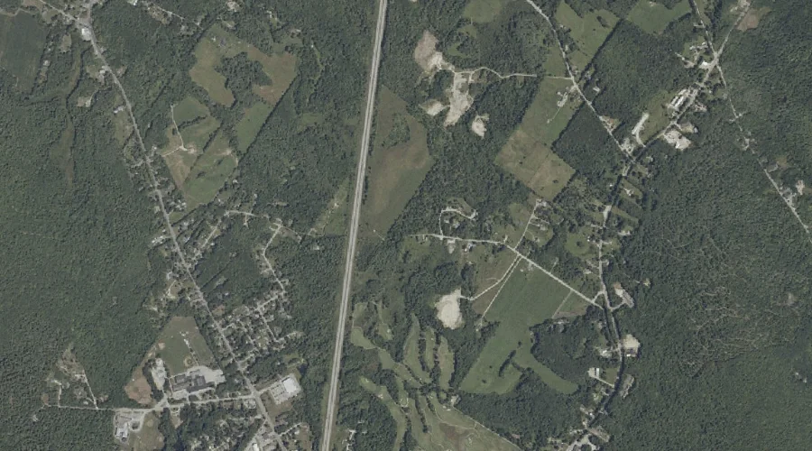
Adams Hill is a summit in Cumberland County, Maine, located about 41.2 miles south-southeast of Chapman Inn in Bethel, Maine. It appears on the USGS Raymond topographic quadrangle.
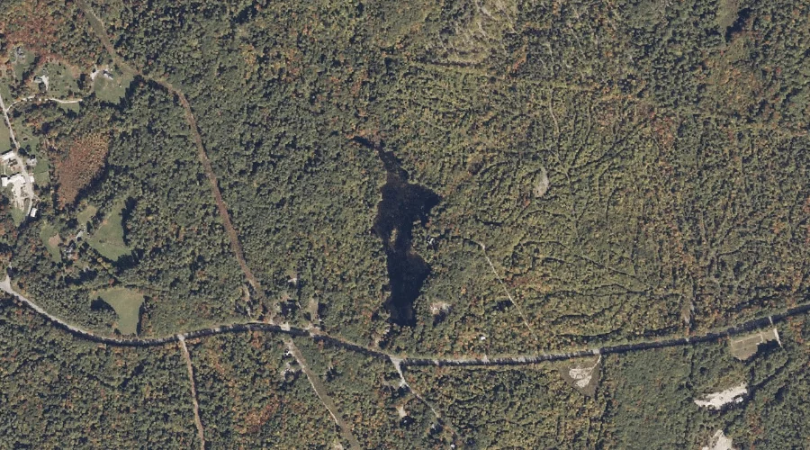
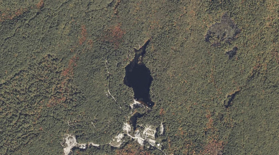
Chub Pond is a reservoir in Cumberland County, Maine, located about 41.1 miles south of Chapman Inn in Bethel, Maine. It appears on the USGS Steep Falls topographic…
Camp Cove is a bay in Cumberland County, Maine, located about 41.1 miles south-southeast of Chapman Inn in Bethel, Maine. It appears on the USGS North Windham topographic…
The Notch is a natural feature in Cumberland County, Maine, located about 40.9 miles south-southeast of Chapman Inn in Bethel, Maine. It appears on the USGS Sebago Lake…
Libby Brook is a stream in Cumberland County, Maine, located about 40.9 miles south-southeast of Chapman Inn in Bethel, Maine. It appears on the USGS Gray topographic quadrangle.
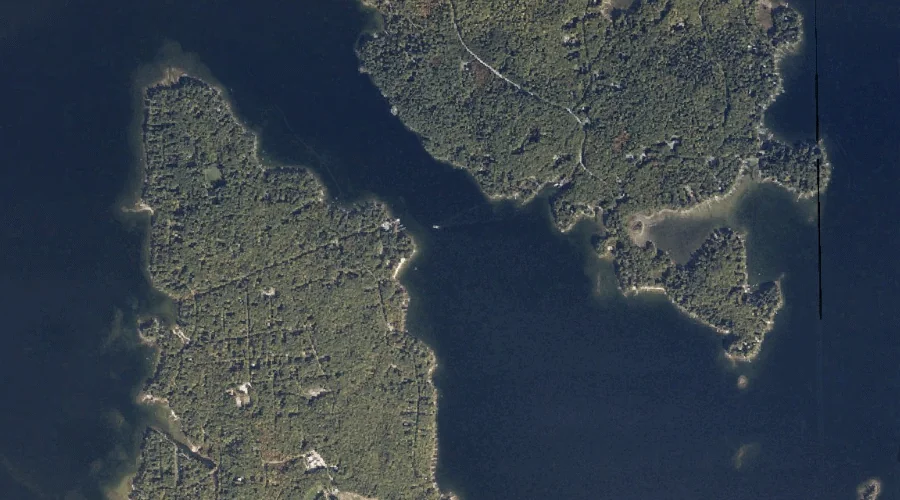
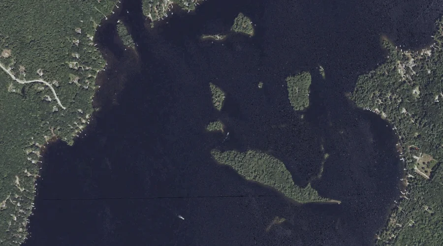
Treasure Island is a island in Cumberland County, Maine, located about 40.9 miles south-southeast of Chapman Inn in Bethel, Maine. It appears on the USGS Raymond topographic quadrangle.
Adams Pond is a lake in Cumberland County, Maine, located about 40.9 miles south of Chapman Inn in Bethel, Maine. It appears on the USGS Steep Falls topographic…
Bass Island is a island in Cumberland County, Maine, located about 41.0 miles south-southeast of Chapman Inn in Bethel, Maine. It appears on the USGS North Windham topographic…