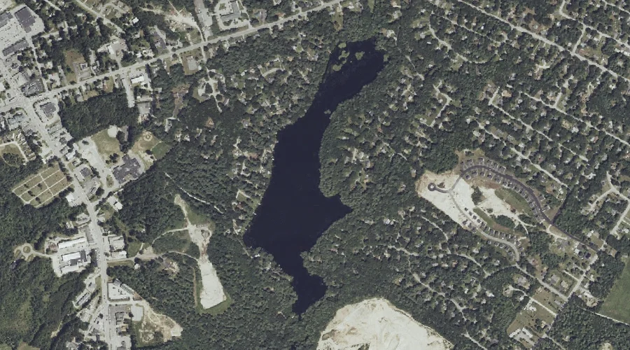
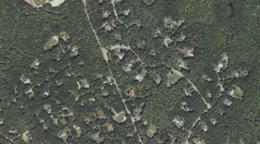
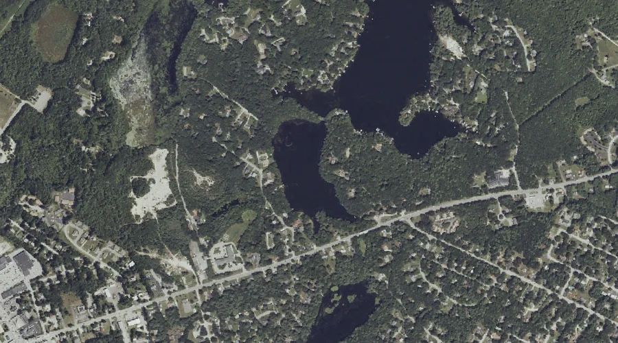
Collins Pond is a lake in Cumberland County, Maine, located about 43.5 miles south-southeast of Chapman Inn in Bethel, Maine. It appears on the USGS North Windham topographic…
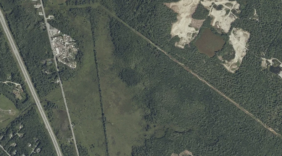
Gray Meadow is a swamp in Cumberland County, Maine, located about 43.5 miles south-southeast of Chapman Inn in Bethel, Maine. It appears on the USGS Cumberland Center topographic…
Wiggins Brook is a stream in Cumberland County, Maine, located about 43.4 miles south-southeast of Chapman Inn in Bethel, Maine. It appears on the USGS Cumberland Center topographic…
Thayer Brook is a stream in Cumberland County, Maine, located about 43.2 miles south-southeast of Chapman Inn in Bethel, Maine. It appears on the USGS Cumberland Center topographic…
Whites Hill is a summit in Cumberland County, Maine, located about 43.2 miles south-southeast of Chapman Inn in Bethel, Maine. It appears on the USGS North Windham topographic…
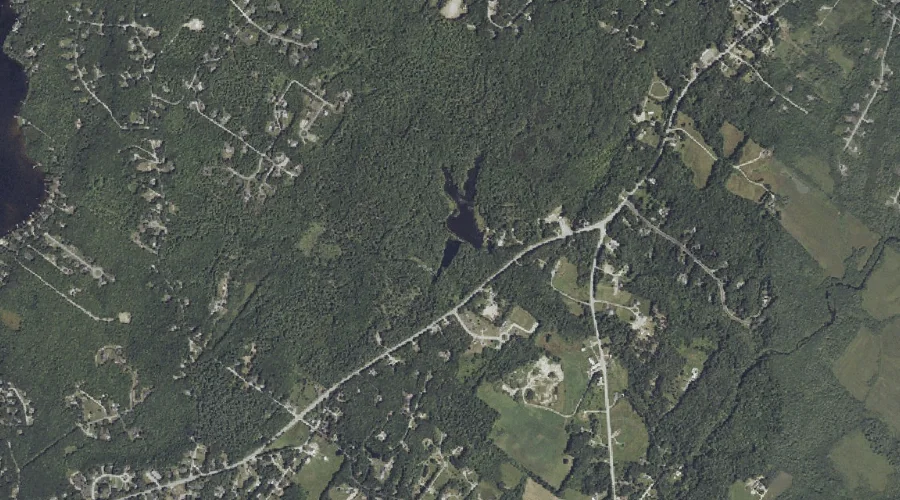
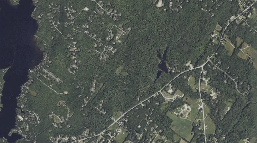
Glantz Brook is a stream in Cumberland County, Maine, located about 43.1 miles south-southeast of Chapman Inn in Bethel, Maine. It appears on the USGS North Windham topographic…
Tucker Brook is a stream in Cumberland County, Maine, located about 42.9 miles south of Chapman Inn in Bethel, Maine. It appears on the USGS Steep Falls topographic…
Ollie Brook is a stream in Cumberland County, Maine, located about 42.9 miles south-southeast of Chapman Inn in Bethel, Maine. It appears on the USGS North Windham topographic…
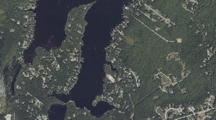
Mill Pond is a reservoir in Cumberland County, Maine, located about 43.0 miles south-southeast of Chapman Inn in Bethel, Maine. It appears on the USGS North Windham topographic…
Brown Cove is a bay in Cumberland County, Maine, located about 42.8 miles south-southeast of Chapman Inn in Bethel, Maine. It appears on the USGS North Windham topographic…