Smith Brook is a stream in Cumberland County, Maine, located about 21.5 miles south-southeast of Chapman Inn in Bethel, Maine. It appears on the USGS Bridgton topographic quadrangle.
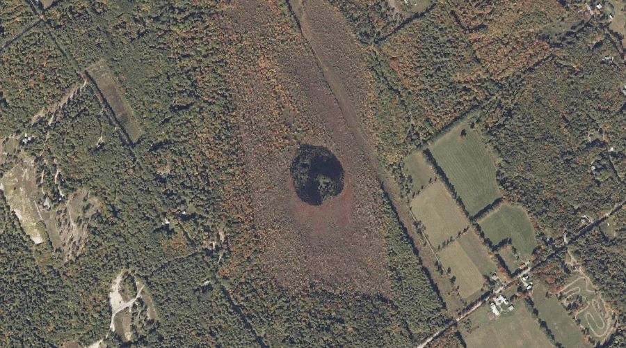
Bog Pond is a lake in Cumberland County, Maine, located about 21.5 miles south-southeast of Chapman Inn in Bethel, Maine. It appears on the USGS Casco topographic quadrangle.
Brigham Hill is a summit in Cumberland County, Maine, located about 21.1 miles south of Chapman Inn in Bethel, Maine. It appears on the USGS Bridgton topographic quadrangle.
Summit Hill is a summit in Cumberland County, Maine, located about 21.4 miles south-southeast of Chapman Inn in Bethel, Maine. It appears on the USGS Bridgton topographic quadrangle.
Hobbs Hill is a summit in Cumberland County, Maine, located about 20.9 miles south-southeast of Chapman Inn in Bethel, Maine. It appears on the USGS Bridgton topographic quadrangle.
Bear River is a stream in Cumberland County, Maine, located about 20.9 miles south-southeast of Chapman Inn in Bethel, Maine. It appears on the USGS Bridgton topographic quadrangle.
Upper Ridge is a ridge in Cumberland County, Maine, located about 20.5 miles south of Chapman Inn in Bethel, Maine. It appears on the USGS Bridgton topographic quadrangle.
Woodsum Brook is a stream in Cumberland County, Maine, located about 20.1 miles south-southeast of Chapman Inn in Bethel, Maine. It appears on the USGS Waterford Flat topographic…
Crystal Lake is a reservoir in Cumberland County, Maine, located about 20.2 miles south-southeast of Chapman Inn in Bethel, Maine. It appears on the USGS Bridgton topographic quadrangle.
Island Pond is a lake in Cumberland County, Maine, located about 18.5 miles south-southeast of Chapman Inn in Bethel, Maine. It appears on the USGS Waterford Flat topographic…