 Aerial imagery: USGS National Map (public domain)
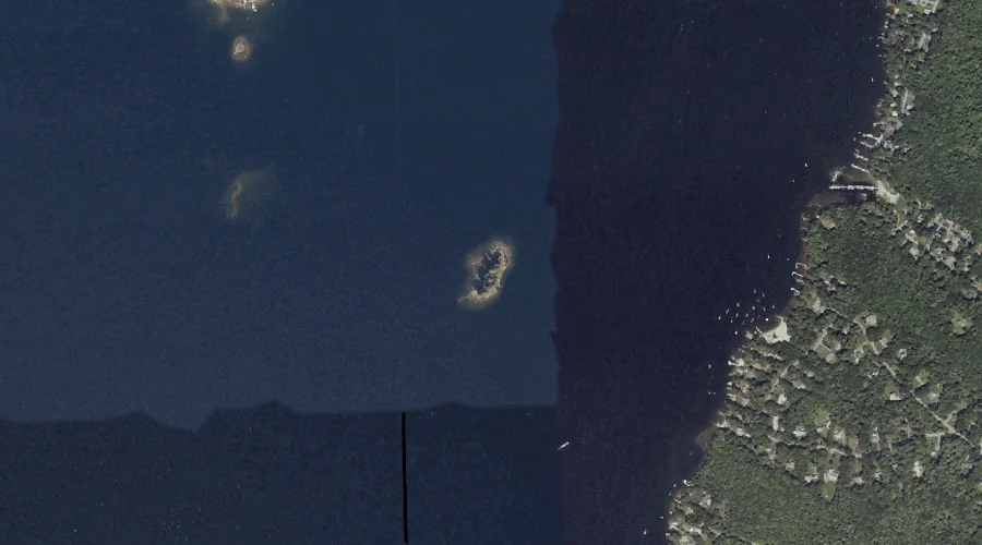
Merrill Isle — Islands 41.9 Miles SSE of Chapman Inn
Cumberland County, Maine · USGS North Windham Quadrangle · GNIS 576188
Within Cumberland County, Maine, on the USGS North Windham quadrangle, the island known as Merrill Isle sits 41.9 miles south-southeast of Chapman Inn.
Wikidata short description: “island in Cumberland County, Maine, United States of America”
Landmark Profile
Classification & USGS reference
Within Cumberland County, Maine, the U.S. Geological Survey lists Merrill Isle as a island on the North Windham topographic quadrangle (FIPS 23/005), under Feature ID 576188. Last revised by the Board on Geographic Names on 06/12/2013.
Coordinates & physical setting
Merrill Isle sits at 43.83702° N, 70.49283° W (DMS 43°50′13″ N, 70°29′34″ W).
Other islands in Cumberland County, Maine
Cumberland County, ME contains 52 islands catalogued in the USGS Geographic Names Information System, counting Merrill Isle itself. The ones closest to Merrill Isle:
| Feature | USGS Quadrangle | Distance |
|---|---|---|
| Papoose Island | North Windham | 0.9 mi |
| Frye Island | Sebago Lake | 1.5 mi |
| Lindsay Island | North Windham | 1.7 mi |
| Gillman Island | North Windham | 2.7 mi |
| Blueberry Island | Naples | 3.4 mi |
| Indian Island | Sebago Lake | 3.5 mi |
| Rookies Island | Naples | 3.6 mi |
| Battleship Island | Naples | 4 mi |
| Millstone Island | Naples | 4.4 mi |
| Treasure Island | Raymond | 4.5 mi |
Features on the USGS North Windham Quadrangle
The North Windham 7.5-minute topographic quadrangle holds 58 catalogued natural features alongside Merrill Isle. A sampling nearest to this location:
| Feature | Type | County | Offset |
|---|---|---|---|
| Camp Cove | Bays | Cumberland County, ME | 0.8 mi |
| Whites Point | Capes | Cumberland County, ME | 0.9 mi |
| Papoose Island | Islands | Cumberland County, ME | 0.9 mi |
| Raymond Cape | Capes | Cumberland County, ME | 1.3 mi |
| Whites Hill | Summits | Cumberland County, ME | 1.3 mi |
| Lindsay Island | Islands | Cumberland County, ME | 1.7 mi |
| Sebago Lake Basin | Reservoirs | Cumberland County, ME | 1.8 mi |
| Outlet Brook | Streams | Cumberland County, ME | 1.9 mi |
| Freeman Hill | Summits | Cumberland County, ME | 2 mi |
| Eel Weir Canal | Other Natural Features | Cumberland County, ME | 2.3 mi |
Visiting from Chapman Inn
Distance, bearing & drive time
Follow the compass bearing SSE out of Bethel for 41.9 miles (south-southeast) and you reach Merrill Isle; at typical rural speeds the trip runs roughly 72 minutes.
Best time to visit
Late May through early October, when the water is safe for small-boat access. At this latitude (43.837°), the shoulder seasons are workable — April and November can be comfortable on mild years. At 41.9 miles from the Inn, block the full day — sunrise start, late return, packed meals. Conditions at Merrill Isle track the nearby Camp Cove bay (0.8 mi away) closely — if that is runnable, so is this.
Nearest features to Merrill Isle
| Feature | Type | County | Distance |
|---|---|---|---|
| Camp Cove | Bays | Cumberland County, ME | 0.8 mi |
| Whites Point | Capes | Cumberland County, ME | 0.9 mi |
| Papoose Island | Islands | Cumberland County, ME | 0.9 mi |
| Raymond Cape | Capes | Cumberland County, ME | 1.3 mi |
| Whites Hill | Summits | Cumberland County, ME | 1.3 mi |
Frequently Asked Questions
Where is Merrill Isle located?
Merrill Isle is in Cumberland County, Maine, approximately 41.9 miles south-southeast of Chapman Inn in Bethel, Maine. It appears on the USGS North Windham topographic quadrangle.
How far is Merrill Isle from Chapman Inn?
The drive runs about 72 minutes, 41.9 miles south-southeast (bearing SSE) of the Inn.
What type of natural feature is Merrill Isle?
The U.S. Geological Survey classifies Merrill Isle as a island, catalogued under GNIS Feature ID 576188 on the North Windham quadrangle.
When is the best time to visit Merrill Isle?
Late May through early October, when the water is safe for small-boat access.
How many other islands are in Cumberland County, Maine?
GNIS lists 51 other islands in Cumberland County, Maine.
Wikidata: Q49658185.