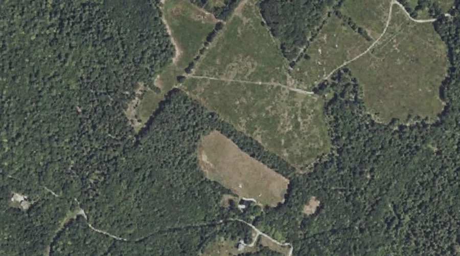
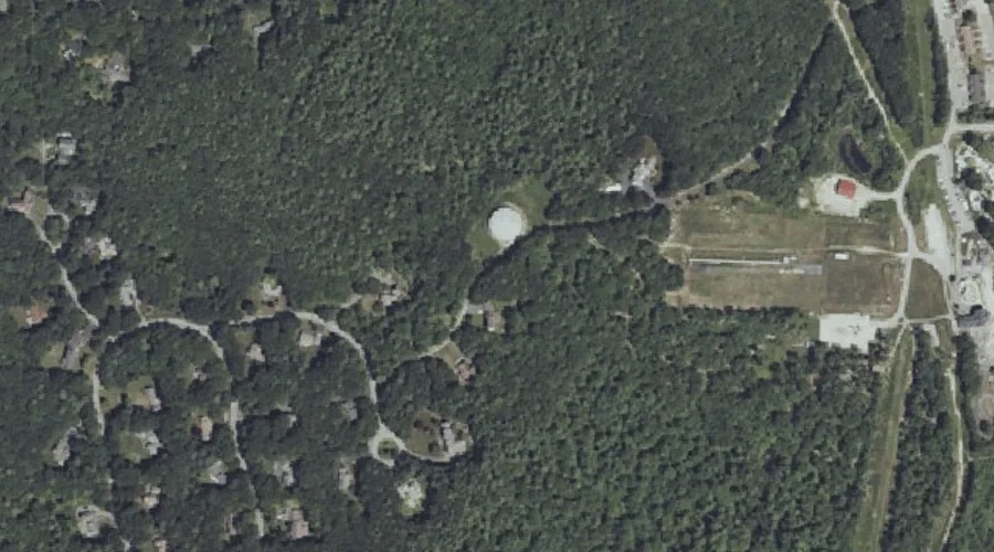
Boody Hill is a summit in Cumberland County, Maine, located about 41.9 miles south-southeast of Chapman Inn in Bethel, Maine. It appears on the USGS North Windham topographic…
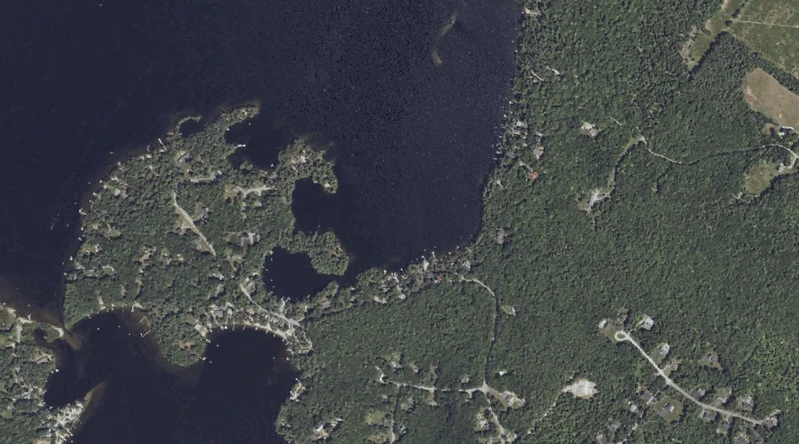
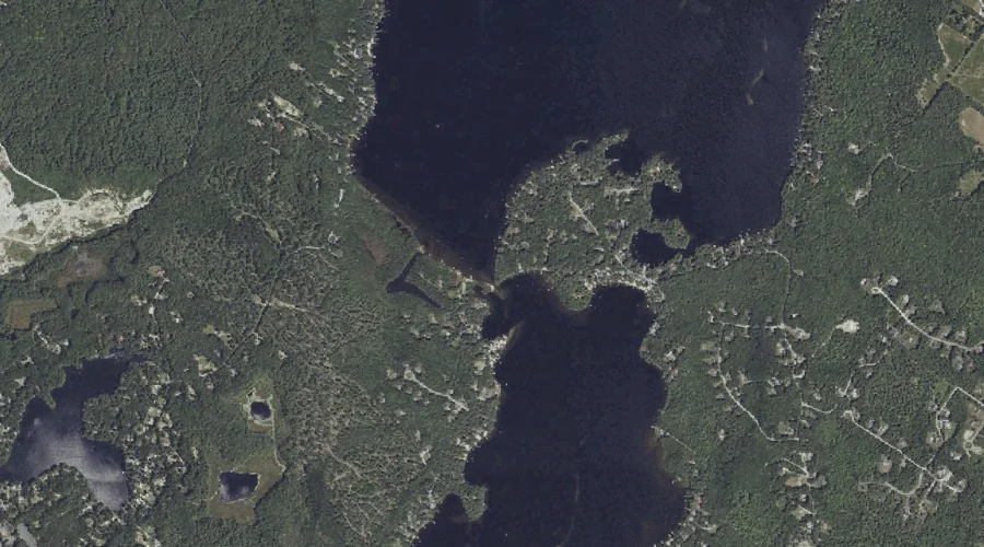
Hall Cove is a bay in Cumberland County, Maine, located about 41.8 miles south-southeast of Chapman Inn in Bethel, Maine. It appears on the USGS North Windham topographic…
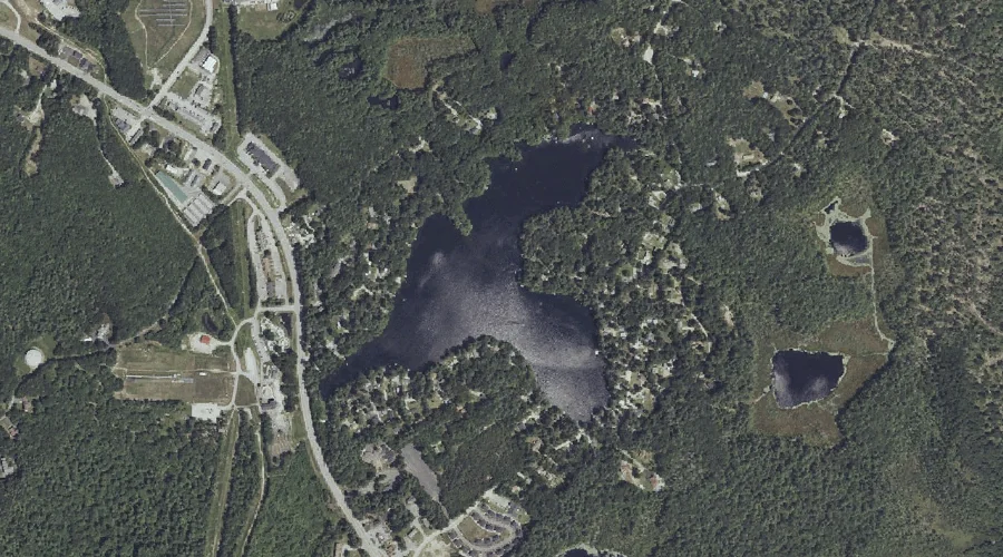
Pettingill Pond is a lake in Cumberland County, Maine, located about 41.6 miles south-southeast of Chapman Inn in Bethel, Maine. It appears on the USGS North Windham topographic…
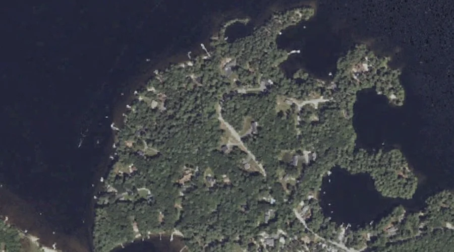
Hall Point is a cape in Cumberland County, Maine, located about 41.7 miles south-southeast of Chapman Inn in Bethel, Maine. It appears on the USGS North Windham topographic…
Lower Narrows is a natural feature in Cumberland County, Maine, located about 41.7 miles south-southeast of Chapman Inn in Bethel, Maine. It appears on the USGS North Windham…
Freeman Hill is a summit in Cumberland County, Maine, located about 41.5 miles south-southeast of Chapman Inn in Bethel, Maine. It appears on the USGS North Windham topographic…
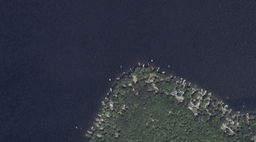
Whites Point is a cape in Cumberland County, Maine, located about 41.6 miles south-southeast of Chapman Inn in Bethel, Maine. It appears on the USGS North Windham topographic…
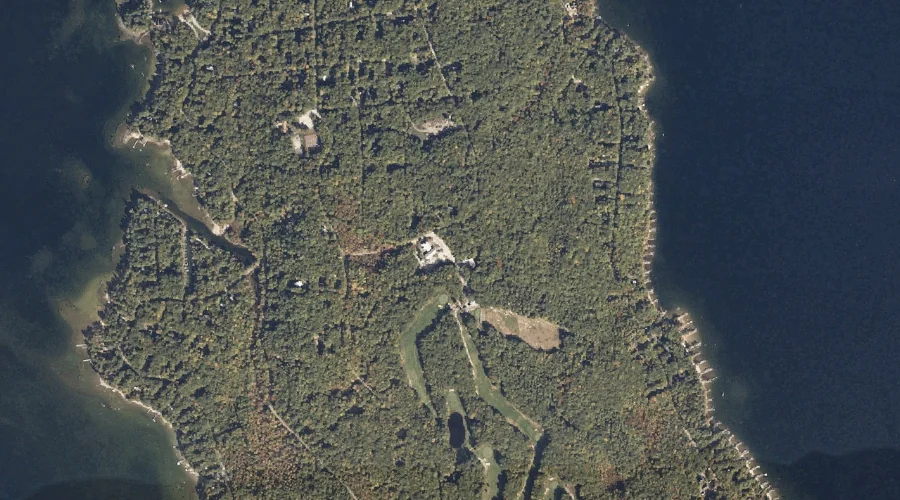
Frye Island is a island in Cumberland County, Maine, located about 41.3 miles south-southeast of Chapman Inn in Bethel, Maine. It appears on the USGS Sebago Lake topographic…
Halfmoon Pond is a lake in Cumberland County, Maine, located about 41.4 miles south of Chapman Inn in Bethel, Maine. It appears on the USGS Steep Falls topographic…
Woods Millpond is a reservoir in Cumberland County, Maine, located about 41.2 miles south of Chapman Inn in Bethel, Maine. It appears on the USGS Steep Falls topographic…