 Aerial imagery: USGS National Map (public domain)
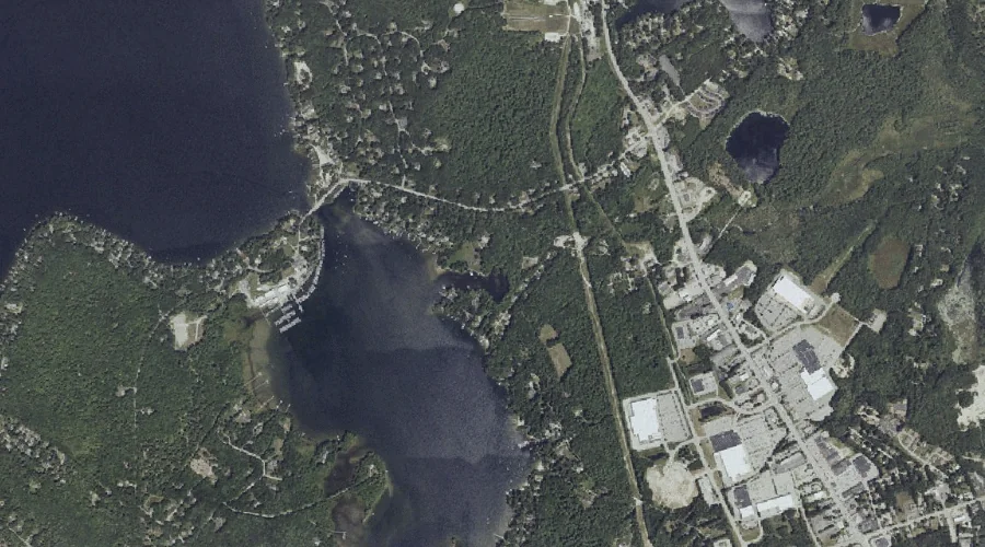
Outlet Brook — Streams 42.1 Miles SSE of Chapman Inn
Cumberland County, Maine · USGS North Windham Quadrangle · GNIS 572870
Within Cumberland County, Maine, on the USGS North Windham quadrangle, the stream known as Outlet Brook sits 42.1 miles south-southeast of Chapman Inn.
Landmark Profile
Classification & USGS reference
Within Cumberland County, Maine, the U.S. Geological Survey lists Outlet Brook as a stream on the North Windham topographic quadrangle (FIPS 23/005), under Feature ID 572870. Catalogued in GNIS since 09/30/1980.
Coordinates & physical setting
Outlet Brook sits at 43.84369° N, 70.45672° W (DMS 43°50′37″ N, 70°27′24″ W).
As a linear feature its source lies near 43.85222° N, 70.44389° W (DMS 43°51′08″ N, 70°26′38″ W) — useful for anglers and paddlers tracing the upstream end.
Other streams in Cumberland County, Maine
Cumberland County, ME contains 110 streams catalogued in the USGS Geographic Names Information System, counting Outlet Brook itself. The ones closest to Outlet Brook:
| Feature | USGS Quadrangle | Distance |
|---|---|---|
| Hyde Brook | Raymond | 2.3 mi |
| Ollie Brook | North Windham | 2.9 mi |
| Otter Brook | North Windham | 3.1 mi |
| Baker Brook | North Windham | 3.1 mi |
| Dutton Hills Brook | North Windham | 3.2 mi |
| Stanley Hall Brook | North Windham | 3.2 mi |
| Panther Run | Raymond | 3.2 mi |
| Glantz Brook | North Windham | 3.2 mi |
| Elmer Brook | North Windham | 3.3 mi |
| Legrand Brook | North Windham | 3.4 mi |
Features on the USGS North Windham Quadrangle
The North Windham 7.5-minute topographic quadrangle holds 58 catalogued natural features alongside Outlet Brook. A sampling nearest to this location:
| Feature | Type | County | Offset |
|---|---|---|---|
| Freeman Hill | Summits | Cumberland County, ME | 0.6 mi |
| Sebago Lake Basin | Reservoirs | Cumberland County, ME | 0.7 mi |
| Chaffin Pond | Lakes | Cumberland County, ME | 0.7 mi |
| Lindsay Island | Islands | Cumberland County, ME | 0.8 mi |
| Pettingill Pond | Lakes | Cumberland County, ME | 1 mi |
| Whites Point | Capes | Cumberland County, ME | 1.1 mi |
| Boody Meadow | Swamps | Cumberland County, ME | 1.2 mi |
| Mud Ponds | Lakes | Cumberland County, ME | 1.2 mi |
| Tarkill Pond | Lakes | Cumberland County, ME | 1.2 mi |
| Eel Weir Canal | Other Natural Features | Cumberland County, ME | 1.5 mi |
Visiting from Chapman Inn
Distance, bearing & drive time
Follow the compass bearing SSE out of Bethel for 42.1 miles (south-southeast) and you reach Outlet Brook; at typical rural speeds the trip runs roughly 72 minutes.
Best time to visit
Best observed in late spring and early summer when flow is strong and banks are visible. At this latitude (43.844°), the shoulder seasons are workable — April and November can be comfortable on mild years. At 42.1 miles from the Inn, block the full day — sunrise start, late return, packed meals. Conditions at Outlet Brook track the nearby Freeman Hill summit (0.6 mi away) closely — if that is runnable, so is this.
Nearest features to Outlet Brook
| Feature | Type | County | Distance |
|---|---|---|---|
| Freeman Hill | Summits | Cumberland County, ME | 0.6 mi |
| Sebago Lake Basin | Reservoirs | Cumberland County, ME | 0.7 mi |
| Chaffin Pond | Lakes | Cumberland County, ME | 0.7 mi |
| Lindsay Island | Islands | Cumberland County, ME | 0.8 mi |
| Pettingill Pond | Lakes | Cumberland County, ME | 1 mi |
Frequently Asked Questions
Where is Outlet Brook located?
Outlet Brook is in Cumberland County, Maine, approximately 42.1 miles south-southeast of Chapman Inn in Bethel, Maine. It appears on the USGS North Windham topographic quadrangle.
How far is Outlet Brook from Chapman Inn?
The drive runs about 72 minutes, 42.1 miles south-southeast (bearing SSE) of the Inn.
What type of natural feature is Outlet Brook?
The U.S. Geological Survey classifies Outlet Brook as a stream, catalogued under GNIS Feature ID 572870 on the North Windham quadrangle.
When is the best time to visit Outlet Brook?
Best observed in late spring and early summer when flow is strong and banks are visible.
How many other streams are in Cumberland County, Maine?
GNIS lists 109 other streams in Cumberland County, Maine.