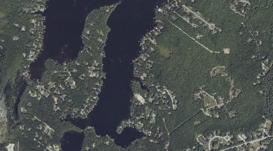
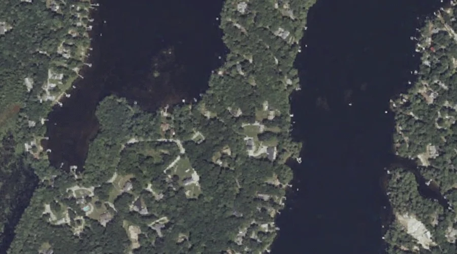
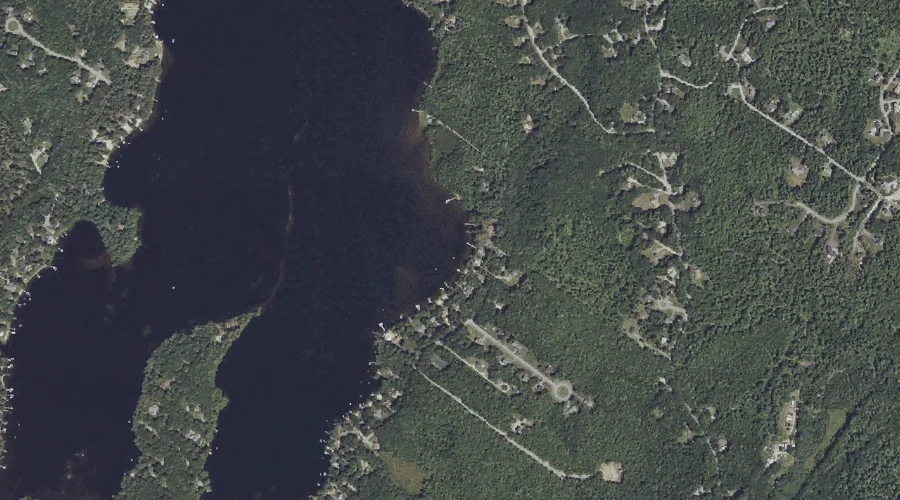
Brown Cove is a bay in Cumberland County, Maine, located about 42.8 miles south-southeast of Chapman Inn in Bethel, Maine. It appears on the USGS North Windham topographic…
Lindsay Island is a island in Cumberland County, Maine, located about 42.8 miles south-southeast of Chapman Inn in Bethel, Maine. It appears on the USGS North Windham topographic…
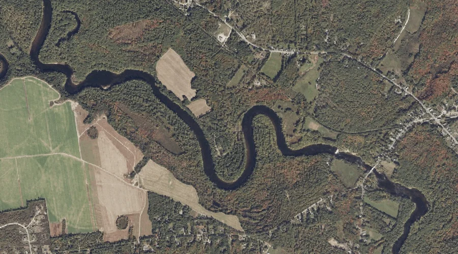
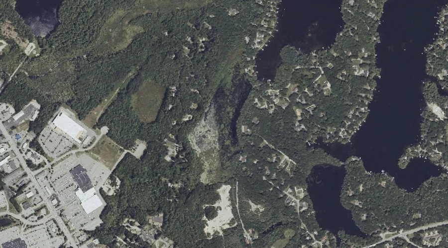
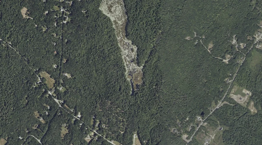
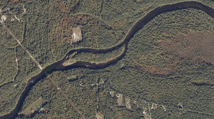
Quaker Brook is a stream in Cumberland County, Maine, located about 42.7 miles south of Chapman Inn in Bethel, Maine. It appears on the USGS Steep Falls topographic…
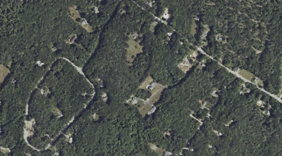
Knight Hill is a summit in Cumberland County, Maine, located about 42.6 miles south-southeast of Chapman Inn in Bethel, Maine. It appears on the USGS North Windham topographic…
Shelldrake Point is a cape in Cumberland County, Maine, located about 42.6 miles south-southeast of Chapman Inn in Bethel, Maine. It appears on the USGS North Windham topographic…
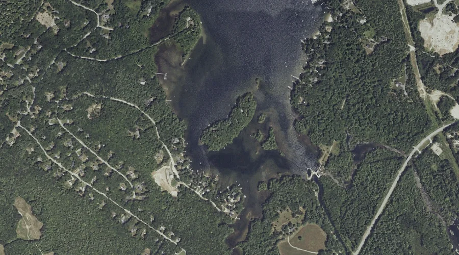
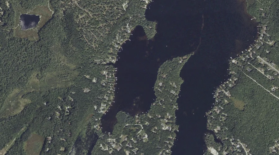
Tarkill Pond is a lake in Cumberland County, Maine, located about 42.7 miles south-southeast of Chapman Inn in Bethel, Maine. It appears on the USGS North Windham topographic…
Allen Bog is a lake in Cumberland County, Maine, located about 42.4 miles south-southeast of Chapman Inn in Bethel, Maine. It appears on the USGS North Windham topographic…
Shelldrake Cove is a bay in Cumberland County, Maine, located about 42.4 miles south-southeast of Chapman Inn in Bethel, Maine. It appears on the USGS North Windham topographic…
Clubhouse Cove is a bay in Cumberland County, Maine, located about 42.5 miles south-southeast of Chapman Inn in Bethel, Maine. It appears on the USGS North Windham topographic…
Goulds Island is a island in Cumberland County, Maine, located about 42.3 miles south of Chapman Inn in Bethel, Maine. It appears on the USGS Steep Falls topographic…