Ricker Hill is a summit in Androscoggin County, Maine, located about 33.8 miles southeast of Chapman Inn in Bethel, Maine. It appears on the USGS Minot topographic quadrangle.
Hedgehog Hill is a summit in Androscoggin County, Maine, located about 33.5 miles east of Chapman Inn in Bethel, Maine. It appears on the USGS Wayne topographic quadrangle.
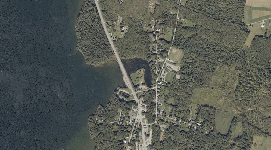
Gulf Island Pond is a reservoir in Androscoggin County, Maine, located about 33.6 miles east-southeast of Chapman Inn in Bethel, Maine. It appears on the USGS Lake Auburn…
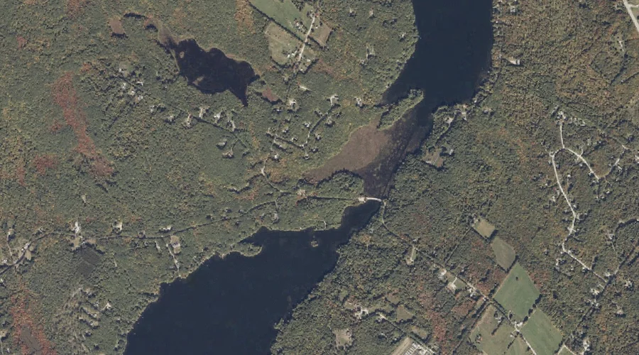
Allen Pond is a lake in Androscoggin County, Maine, located about 33.4 miles east-southeast of Chapman Inn in Bethel, Maine. It appears on the USGS Lake Auburn East…
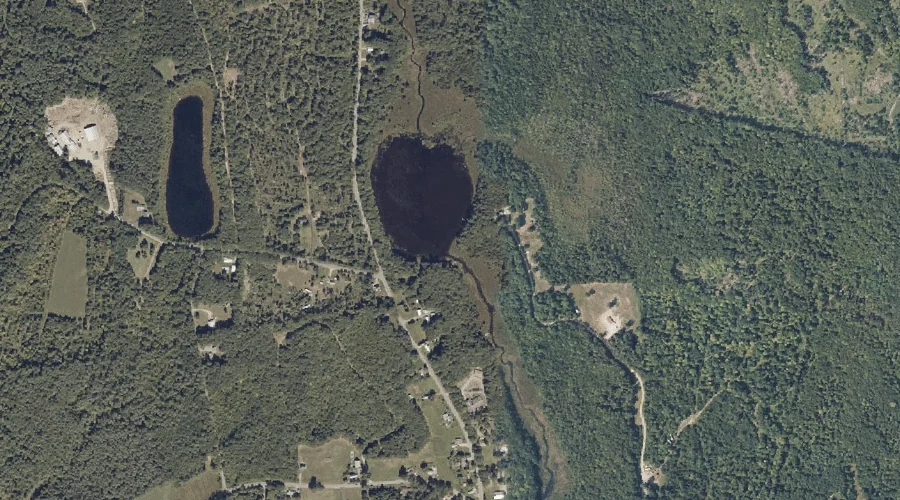
Schoolhouse Pond is a lake in Androscoggin County, Maine, located about 33.4 miles east of Chapman Inn in Bethel, Maine. It appears on the USGS Fayette topographic quadrangle.
May Brook is a stream in Androscoggin County, Maine, located about 33.4 miles southeast of Chapman Inn in Bethel, Maine. It appears on the USGS Mechanic Falls topographic…
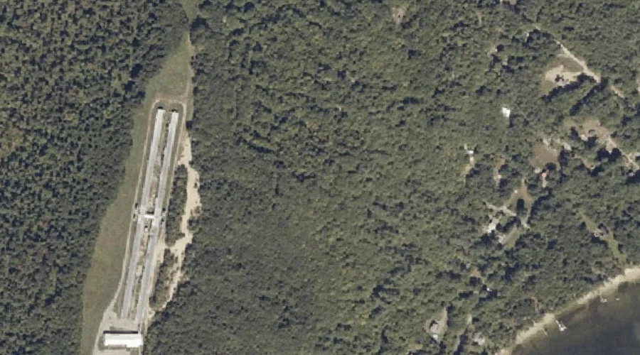
Auburn Municipal Beach is a natural feature in Androscoggin County, Maine, located about 33.1 miles east-southeast of Chapman Inn in Bethel, Maine. It appears on the USGS Lake…
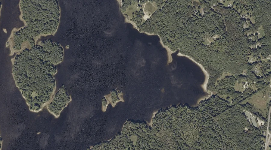
Lake Auburn is a reservoir in Androscoggin County, Maine, located about 33.1 miles east-southeast of Chapman Inn in Bethel, Maine. It appears on the USGS Lake Auburn East…
Black Cat Mountain is a summit in Androscoggin County, Maine, located about 33.1 miles south-southeast of Chapman Inn in Bethel, Maine. It appears on the USGS Mechanic Falls…
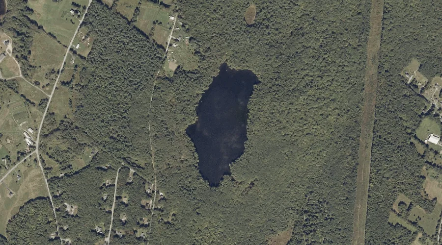
Berry Pond is a lake in Androscoggin County, Maine, located about 33.2 miles east-southeast of Chapman Inn in Bethel, Maine. It appears on the USGS Lake Auburn East…