 Aerial imagery: USGS National Map (public domain)
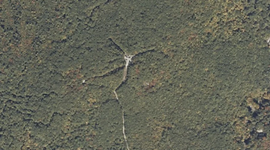
Black Cat Mountain — Summits 33.1 Miles SSE of Chapman Inn
Androscoggin County, Maine · USGS Mechanic Falls Quadrangle · GNIS 562425
33.1 miles south-southeast of Chapman Inn, on the USGS Mechanic Falls topographic quadrangle, Black Cat Mountain is a summit recorded in Androscoggin County, Maine by the federal Geographic Names Information System.
Wikidata short description: “mountain in United States of America”
Landmark Profile
Classification & USGS reference
The USGS Mechanic Falls 7.5-minute topographic quadrangle places Black Cat Mountain in Androscoggin County, Maine (FIPS 23/001), classified as a summit in the federal GNIS (Feature ID 562425). Last revised by the Board on Geographic Names on 07/02/2022.
Coordinates & physical setting
Black Cat Mountain sits at 44.00348° N, 70.42303° W (DMS 44°00′13″ N, 70°25′23″ W).
Other summits in Androscoggin County, Maine
Androscoggin County, ME contains 71 summits catalogued in the USGS Geographic Names Information System, counting Black Cat Mountain itself. The ones closest to Black Cat Mountain:
| Feature | USGS Quadrangle | Elevation | Distance |
|---|---|---|---|
| Johnson Hill | Mechanic Falls | — | 1.8 mi |
| Range Hill | Mechanic Falls | — | 2.4 mi |
| White Oak Hill | Mechanic Falls | — | 2.6 mi |
| Megquier Hill | Mechanic Falls | — | 2.8 mi |
| Shaker Hill | Minot | — | 3 mi |
| Oak Hill | Mechanic Falls | — | 3.4 mi |
| Ricker Hill | Minot | — | 3.5 mi |
| Bailey Hill | Minot | — | 5.3 mi |
| Raspberry Hill | Mechanic Falls | — | 5.3 mi |
| Pigeon Hill | Mechanic Falls | — | 6.1 mi |
Features on the USGS Mechanic Falls Quadrangle
The Mechanic Falls 7.5-minute topographic quadrangle holds 48 catalogued natural features alongside Black Cat Mountain. A sampling nearest to this location:
| Feature | Type | County | Offset |
|---|---|---|---|
| Upper Range Pond | Lakes | Androscoggin County, ME | 1.2 mi |
| Wilson Brook | Streams | Cumberland County, ME | 1.3 mi |
| Estes Bog | Lakes | Androscoggin County, ME | 1.7 mi |
| Middle Range Pond | Reservoirs | Oxford County, ME | 1.8 mi |
| Johnson Hill | Summits | Androscoggin County, ME | 1.8 mi |
| May Brook | Streams | Androscoggin County, ME | 1.8 mi |
| Range Hill | Summits | Androscoggin County, ME | 2.4 mi |
| The Heath | Lakes | Cumberland County, ME | 2.6 mi |
| White Oak Hill | Summits | Androscoggin County, ME | 2.6 mi |
| Pine Point | Capes | Androscoggin County, ME | 2.7 mi |
Visiting from Chapman Inn
Distance, bearing & drive time
Chapman Inn sits 33.1 miles south-southeast (bearing SSE) of Black Cat Mountain. At moderate back-road speeds the drive runs about 57 minutes — comfortably inside a half-day outing window after breakfast.
Best time to visit
Accessible May through November in most years. At this latitude (44.003°), the shoulder seasons are workable — April and November can be comfortable on mild years. At 33.1 miles from the Inn, block the full day — sunrise start, late return, packed meals. Conditions at Black Cat Mountain track the nearby Tenny Hill summit (0.9 mi away) closely — if that is runnable, so is this.
Nearest features to Black Cat Mountain
| Feature | Type | County | Distance |
|---|---|---|---|
| Tenny Hill | Summits | Cumberland County, ME | 0.9 mi |
| Upper Range Pond | Lakes | Androscoggin County, ME | 1.2 mi |
| Wilson Brook | Streams | Cumberland County, ME | 1.3 mi |
| Pismire Mountain | Summits | Cumberland County, ME | 1.5 mi |
| Estes Bog | Lakes | Androscoggin County, ME | 1.7 mi |
Frequently Asked Questions
Where is Black Cat Mountain located?
Black Cat Mountain is in Androscoggin County, Maine, approximately 33.1 miles south-southeast of Chapman Inn in Bethel, Maine. It appears on the USGS Mechanic Falls topographic quadrangle.
How far is Black Cat Mountain from Chapman Inn?
The drive runs about 57 minutes, 33.1 miles south-southeast (bearing SSE) of the Inn.
What type of natural feature is Black Cat Mountain?
The U.S. Geological Survey classifies Black Cat Mountain as a summit, catalogued under GNIS Feature ID 562425 on the Mechanic Falls quadrangle.
When is the best time to visit Black Cat Mountain?
Accessible May through November in most years.
How many other summits are in Androscoggin County, Maine?
GNIS lists 70 other summits in Androscoggin County, Maine.
Wikidata: Q33136997.