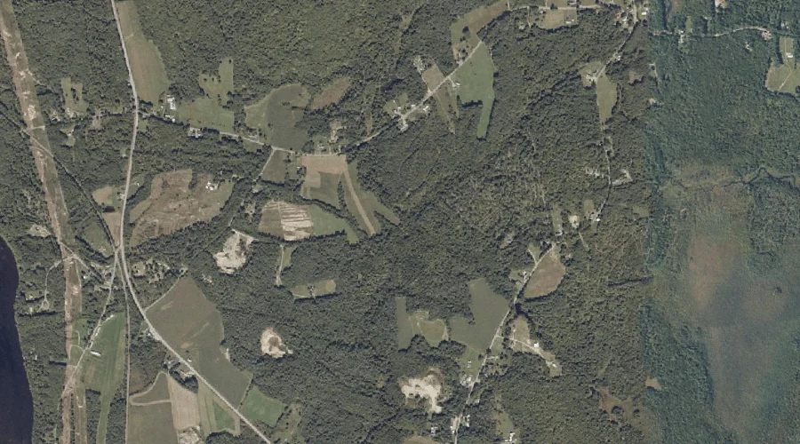
Mount Apatite is a summit in Androscoggin County, Maine, located about 32.6 miles southeast of Chapman Inn in Bethel, Maine. It appears on the USGS Minot topographic quadrangle.
Billington Brook is a stream in Androscoggin County, Maine, located about 32.6 miles east of Chapman Inn in Bethel, Maine. It appears on the USGS Livermore Falls topographic…
Meadow Brook is a stream in Androscoggin County, Maine, located about 32.7 miles east of Chapman Inn in Bethel, Maine. It appears on the USGS Livermore Falls topographic…
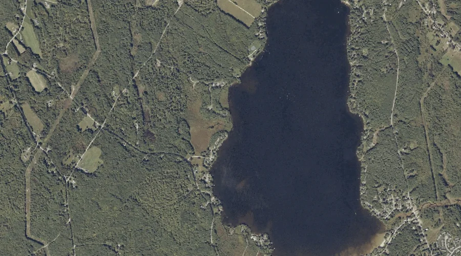
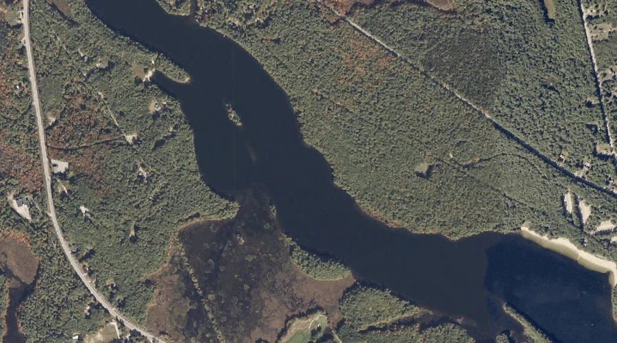
Moose Hill Pond is a lake in Androscoggin County, Maine, located about 32.7 miles east of Chapman Inn in Bethel, Maine. It appears on the USGS Livermore Falls…
Hodgkins Brook is a stream in Androscoggin County, Maine, located about 32.3 miles southeast of Chapman Inn in Bethel, Maine. It appears on the USGS Minot topographic quadrangle.
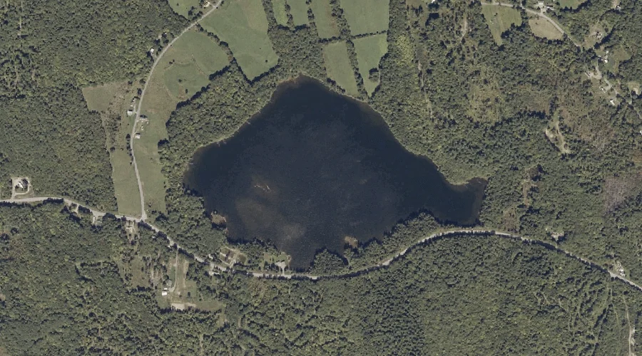
Lower Range Pond is a reservoir in Androscoggin County, Maine, located about 32.5 miles southeast of Chapman Inn in Bethel, Maine. It appears on the USGS Minot topographic…
Taylor Pond is a lake in Androscoggin County, Maine, located about 32.6 miles southeast of Chapman Inn in Bethel, Maine. It appears on the USGS Minot topographic quadrangle.
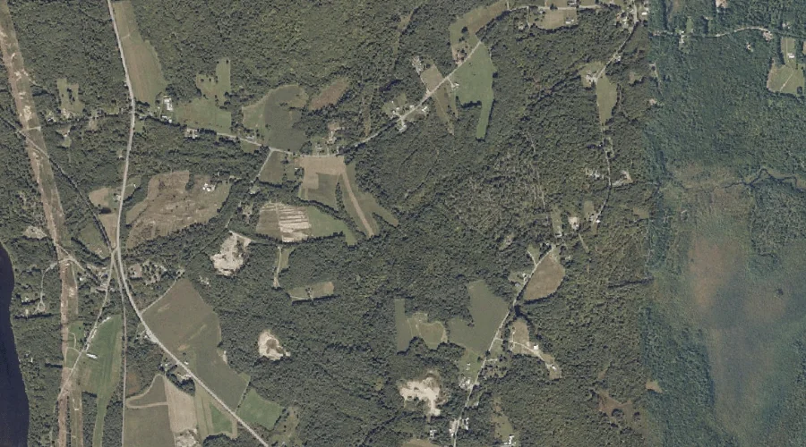
Ford Hill is a summit in Androscoggin County, Maine, located about 32.1 miles east of Chapman Inn in Bethel, Maine. It appears on the USGS Livermore Falls topographic…
Butler Hill is a summit in Androscoggin County, Maine, located about 32.1 miles southeast of Chapman Inn in Bethel, Maine. It appears on the USGS Minot topographic quadrangle.
Jug Hill is a summit in Androscoggin County, Maine, located about 32.3 miles east of Chapman Inn in Bethel, Maine. It appears on the USGS Livermore Falls topographic…