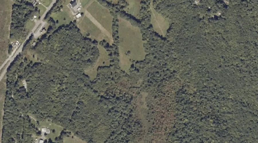
Glenrock Spring is a spring in Androscoggin County, Maine, located about 34.7 miles east-southeast of Chapman Inn in Bethel, Maine. It appears on the USGS Lake Auburn East…
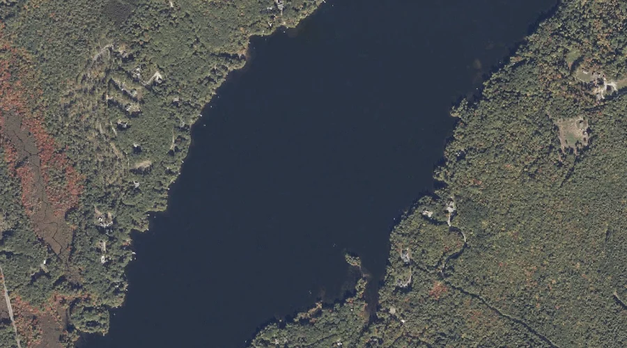
Worthley Pond is a lake in Androscoggin County, Maine, located about 34.5 miles southeast of Chapman Inn in Bethel, Maine. It appears on the USGS Minot topographic quadrangle.
Range Hill is a summit in Androscoggin County, Maine, located about 34.2 miles southeast of Chapman Inn in Bethel, Maine. It appears on the USGS Mechanic Falls topographic…
Deane Pond is a lake in Androscoggin County, Maine, located about 34.3 miles east-southeast of Chapman Inn in Bethel, Maine. It appears on the USGS Lake Auburn East…
Merrill Hill is a summit in Androscoggin County, Maine, located about 34.0 miles southeast of Chapman Inn in Bethel, Maine. It appears on the USGS Lewiston topographic quadrangle.
Quaker Hill is a summit in Androscoggin County, Maine, located about 34.0 miles east-southeast of Chapman Inn in Bethel, Maine. It appears on the USGS Turner Center topographic…
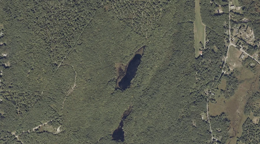
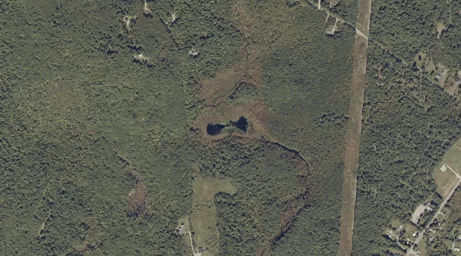
Daggett Bog is a lake in Androscoggin County, Maine, located about 33.8 miles east-southeast of Chapman Inn in Bethel, Maine. It appears on the USGS Lake Auburn East…
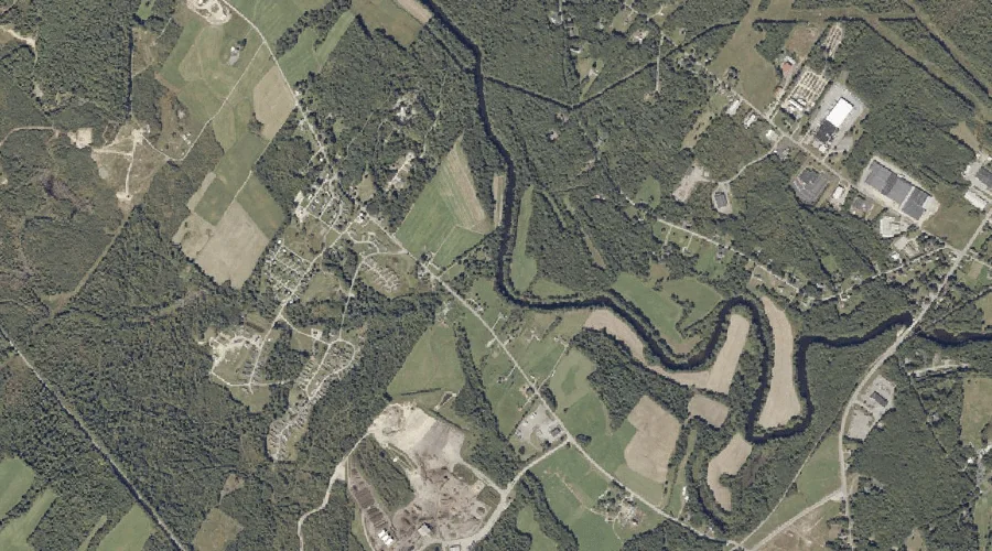
Davis Brook is a stream in Androscoggin County, Maine, located about 33.9 miles southeast of Chapman Inn in Bethel, Maine. It appears on the USGS Minot topographic quadrangle.
Upper Range Pond is a lake in Androscoggin County, Maine, located about 33.7 miles southeast of Chapman Inn in Bethel, Maine. It appears on the USGS Mechanic Falls…
Merrill Hill is a summit in Androscoggin County, Maine, located about 33.8 miles east-southeast of Chapman Inn in Bethel, Maine. It appears on the USGS Lake Auburn East…