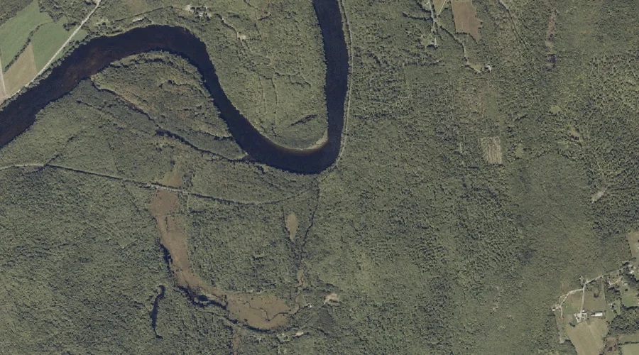
Leavitt Brook is a stream in Androscoggin County, Maine, located about 26.4 miles east of Chapman Inn in Bethel, Maine. It appears on the USGS Canton topographic quadrangle.
Ricker Hill is a summit in Androscoggin County, Maine, located about 26.2 miles east-southeast of Chapman Inn in Bethel, Maine. It appears on the USGS Buckfield topographic quadrangle.
Fuller Brook is a stream in Androscoggin County, Maine, located about 26.4 miles east of Chapman Inn in Bethel, Maine. It appears on the USGS Canton topographic quadrangle.
Hawkes Hill is a summit in Androscoggin County, Maine, located about 26.4 miles southeast of Chapman Inn in Bethel, Maine. It rises to 384 feet above sea level,…
Shackley Hill is a summit in Androscoggin County, Maine, located about 26.2 miles east of Chapman Inn in Bethel, Maine. It appears on the USGS Canton topographic quadrangle.
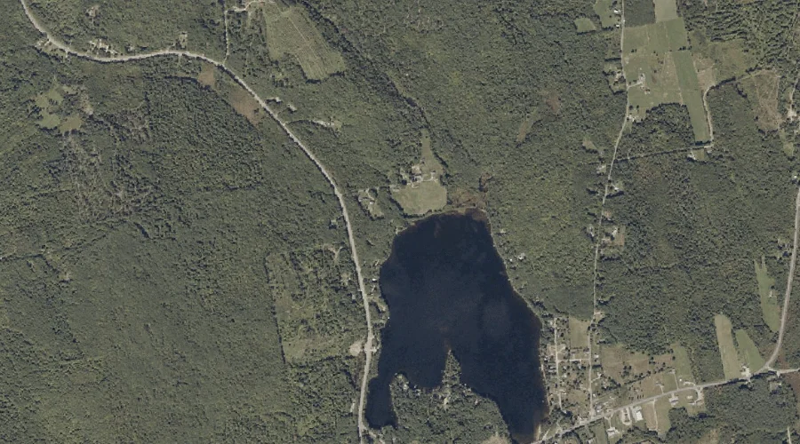
Nelson Pond is a lake in Androscoggin County, Maine, located about 26.0 miles east of Chapman Inn in Bethel, Maine. It appears on the USGS Canton topographic quadrangle.
Teague Hill is a summit in Androscoggin County, Maine, located about 26.0 miles east-southeast of Chapman Inn in Bethel, Maine. It appears on the USGS Buckfield topographic quadrangle.
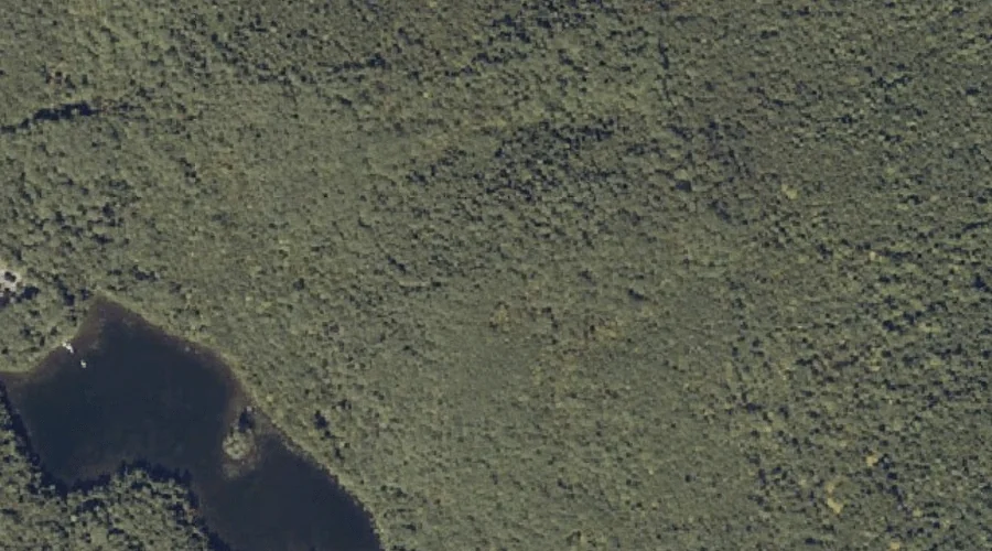
Jersey Bog is a lake in Androscoggin County, Maine, located about 25.8 miles east-southeast of Chapman Inn in Bethel, Maine. It appears on the USGS Buckfield topographic quadrangle.
Hamlin Hill is a summit in Androscoggin County, Maine, located about 25.6 miles east of Chapman Inn in Bethel, Maine. It appears on the USGS Canton topographic quadrangle.
Blanchard Stream is a stream in Androscoggin County, Maine, located about 25.7 miles east-southeast of Chapman Inn in Bethel, Maine. It appears on the USGS Buckfield topographic quadrangle.