 Aerial imagery: USGS National Map (public domain)
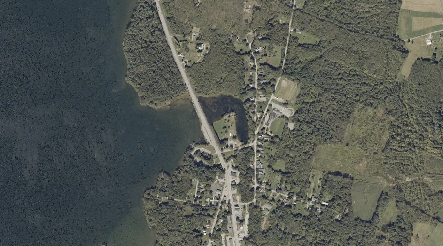
Auburn Municipal Beach — Other Natural Features 33.1 Miles ESE of Chapman Inn
Androscoggin County, Maine · USGS Lake Auburn East Quadrangle · GNIS 1908767
Within Androscoggin County, Maine, on the USGS Lake Auburn East quadrangle, the natural feature known as Auburn Municipal Beach sits 33.1 miles east-southeast of Chapman Inn.
Wikidata short description: “beach in Androscoggin County, Maine, United States”
Landmark Profile
Classification & USGS reference
Within Androscoggin County, Maine, the U.S. Geological Survey lists Auburn Municipal Beach as a natural feature on the Lake Auburn East topographic quadrangle (FIPS 23/001), under Feature ID 1908767. Catalogued in GNIS since 05/07/2001.
Coordinates & physical setting
Auburn Municipal Beach sits at 44.14563° N, 70.22728° W (DMS 44°08′44″ N, 70°13′38″ W).
Features on the USGS Lake Auburn East Quadrangle
The Lake Auburn East 7.5-minute topographic quadrangle holds 19 catalogued natural features alongside Auburn Municipal Beach. A sampling nearest to this location:
| Feature | Type | County | Offset |
|---|---|---|---|
| Lake Auburn | Reservoirs | Androscoggin County, ME | 0 mi |
| Mount Giles | Summits | Androscoggin County, ME | 0.5 mi |
| Androscoggin River Reservoir | Reservoirs | Androscoggin County, ME | 1.5 mi |
| Gulf Island Pond | Reservoirs | Androscoggin County, ME | 2 mi |
| Stetson Brook | Streams | Androscoggin County, ME | 2.1 mi |
| Round Pond | Lakes | Androscoggin County, ME | 3.4 mi |
| Lard Pond | Lakes | Androscoggin County, ME | 3.4 mi |
| Daggett Bog | Lakes | Androscoggin County, ME | 3.5 mi |
| Glenrock Spring | Springs | Androscoggin County, ME | 3.6 mi |
| Poplar Hill | Summits | Androscoggin County, ME | 3.8 mi |
Visiting from Chapman Inn
Distance, bearing & drive time
Follow the compass bearing ESE out of Bethel for 33.1 miles (east-southeast) and you reach Auburn Municipal Beach; at typical rural speeds the trip runs roughly 57 minutes.
Best time to visit
Generally accessible May through October; winter access depends on snow cover. At this latitude (44.146°), the shoulder seasons are workable — April and November can be comfortable on mild years. At 33.1 miles from the Inn, block the full day — sunrise start, late return, packed meals. Conditions at Auburn Municipal Beach track the nearby Lake Auburn reservoir (essentially adjacent) closely — if that is runnable, so is this.
Nearest features to Auburn Municipal Beach
| Feature | Type | County | Distance |
|---|---|---|---|
| Lake Auburn | Reservoirs | Androscoggin County, ME | 0 mi |
| Mount Giles | Summits | Androscoggin County, ME | 0.5 mi |
| The Basin | Reservoirs | Androscoggin County, ME | 1.3 mi |
| Salmon Point | Capes | Androscoggin County, ME | 1.4 mi |
| Androscoggin River Reservoir | Reservoirs | Androscoggin County, ME | 1.5 mi |
Frequently Asked Questions
Where is Auburn Municipal Beach located?
Auburn Municipal Beach is in Androscoggin County, Maine, approximately 33.1 miles east-southeast of Chapman Inn in Bethel, Maine. It appears on the USGS Lake Auburn East topographic quadrangle.
How far is Auburn Municipal Beach from Chapman Inn?
The drive runs about 57 minutes, 33.1 miles east-southeast (bearing ESE) of the Inn.
What type of natural feature is Auburn Municipal Beach?
The U.S. Geological Survey classifies Auburn Municipal Beach as a natural feature, catalogued under GNIS Feature ID 1908767 on the Lake Auburn East quadrangle.
When is the best time to visit Auburn Municipal Beach?
Generally accessible May through October; winter access depends on snow cover.
Wikidata: Q33325216.