 Aerial imagery: USGS National Map (public domain)
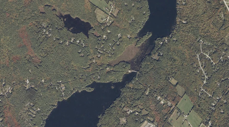
May Brook — Streams 33.4 Miles SE of Chapman Inn
Androscoggin County, Maine · USGS Mechanic Falls Quadrangle · GNIS 570933
33.4 miles southeast of Chapman Inn, on the USGS Mechanic Falls topographic quadrangle, May Brook is a stream recorded in Androscoggin County, Maine by the federal Geographic Names Information System.
Landmark Profile
Classification & USGS reference
The USGS Mechanic Falls 7.5-minute topographic quadrangle places May Brook in Androscoggin County, Maine (FIPS 23/001), classified as a stream in the federal GNIS (Feature ID 570933). Catalogued in GNIS since 09/30/1980.
Coordinates & physical setting
May Brook sits at 44.01507° N, 70.38950° W (DMS 44°00′54″ N, 70°23′22″ W).
As a linear feature its source lies near 44.03639° N, 70.40111° W (DMS 44°02′11″ N, 70°24′04″ W) — useful for anglers and paddlers tracing the upstream end.
Other streams in Androscoggin County, Maine
Androscoggin County, ME contains 62 streams catalogued in the USGS Geographic Names Information System, counting May Brook itself. The ones closest to May Brook:
| Feature | USGS Quadrangle | Distance |
|---|---|---|
| Potash Brook | Mechanic Falls | 3.7 mi |
| Meadow Brook | Mechanic Falls | 3.7 mi |
| Edwards Brook | Raymond | 3.9 mi |
| Cousins Brook | Mechanic Falls | 4.8 mi |
| Moose Brook | Minot | 5.5 mi |
| Worthley Brook | Minot | 5.7 mi |
| Davis Brook | Minot | 5.9 mi |
| Morgan Brook | Minot | 6 mi |
| Waterhouse Brook | Mechanic Falls | 6.2 mi |
| Indian Brook | Minot | 6.4 mi |
Features on the USGS Mechanic Falls Quadrangle
The Mechanic Falls 7.5-minute topographic quadrangle holds 48 catalogued natural features alongside May Brook. A sampling nearest to this location:
| Feature | Type | County | Offset |
|---|---|---|---|
| Middle Range Pond | Reservoirs | Oxford County, ME | 0.4 mi |
| Estes Bog | Lakes | Androscoggin County, ME | 0.6 mi |
| Range Hill | Summits | Androscoggin County, ME | 0.8 mi |
| Upper Range Pond | Lakes | Androscoggin County, ME | 0.9 mi |
| Middle Range Pond | Lakes | Androscoggin County, ME | 1 mi |
| Wilson Brook | Streams | Cumberland County, ME | 1 mi |
| Black Cat Mountain | Summits | Androscoggin County, ME | 1.8 mi |
| White Oak Hill | Summits | Androscoggin County, ME | 1.9 mi |
| Oak Hill | Summits | Androscoggin County, ME | 2.6 mi |
| Johnson Hill | Summits | Androscoggin County, ME | 3.3 mi |
Visiting from Chapman Inn
Distance, bearing & drive time
Chapman Inn sits 33.4 miles southeast (bearing SE) of May Brook. At moderate back-road speeds the drive runs about 57 minutes — comfortably inside a half-day outing window after breakfast.
Best time to visit
Best observed in late spring and early summer when flow is strong and banks are visible. At this latitude (44.015°), the shoulder seasons are workable — April and November can be comfortable on mild years. At 33.4 miles from the Inn, block the full day — sunrise start, late return, packed meals. Conditions at May Brook track the nearby Middle Range Pond reservoir (0.4 mi away) closely — if that is runnable, so is this.
Nearest features to May Brook
| Feature | Type | County | Distance |
|---|---|---|---|
| Middle Range Pond | Reservoirs | Oxford County, ME | 0.4 mi |
| Estes Bog | Lakes | Androscoggin County, ME | 0.6 mi |
| Range Hill | Summits | Androscoggin County, ME | 0.8 mi |
| Upper Range Pond | Lakes | Androscoggin County, ME | 0.9 mi |
| Middle Range Pond | Lakes | Androscoggin County, ME | 1 mi |
Frequently Asked Questions
Where is May Brook located?
May Brook is in Androscoggin County, Maine, approximately 33.4 miles southeast of Chapman Inn in Bethel, Maine. It appears on the USGS Mechanic Falls topographic quadrangle.
How far is May Brook from Chapman Inn?
The drive runs about 57 minutes, 33.4 miles southeast (bearing SE) of the Inn.
What type of natural feature is May Brook?
The U.S. Geological Survey classifies May Brook as a stream, catalogued under GNIS Feature ID 570933 on the Mechanic Falls quadrangle.
When is the best time to visit May Brook?
Best observed in late spring and early summer when flow is strong and banks are visible.
How many other streams are in Androscoggin County, Maine?
GNIS lists 61 other streams in Androscoggin County, Maine.