Stetson Brook is a stream in Androscoggin County, Maine, located about 35.2 miles east-southeast of Chapman Inn in Bethel, Maine. It appears on the USGS Lake Auburn East…
Shaker Bog is a lake in Androscoggin County, Maine, located about 34.9 miles southeast of Chapman Inn in Bethel, Maine. It appears on the USGS Gray topographic quadrangle.
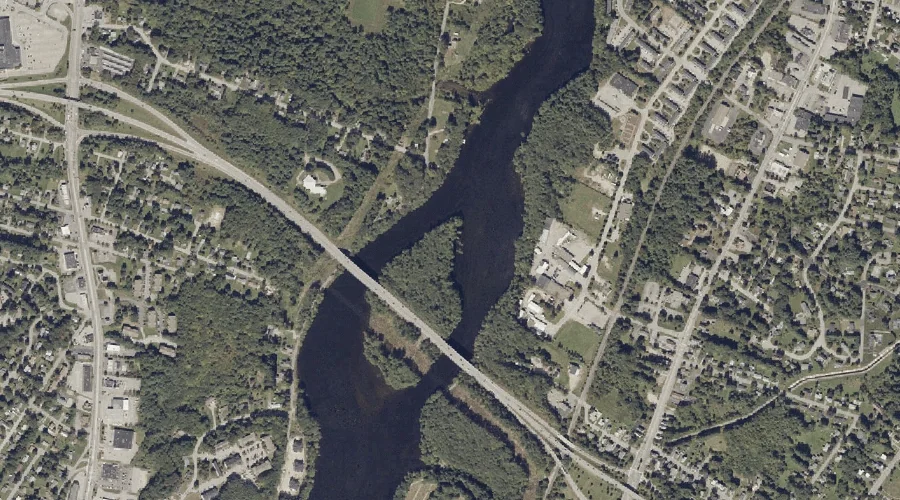
Androscoggin River Reservoir is a reservoir in Androscoggin County, Maine, located about 35.0 miles southeast of Chapman Inn in Bethel, Maine. It appears on the USGS Lewiston topographic…
Little Sabattus Pond is a lake in Androscoggin County, Maine, located about 35.0 miles east-southeast of Chapman Inn in Bethel, Maine. It appears on the USGS Lake Auburn…
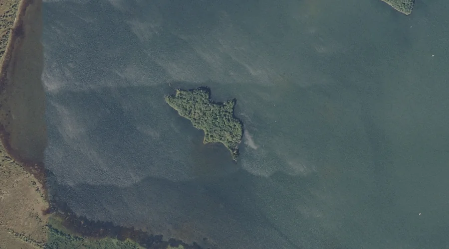
Lothrop Island is a island in Androscoggin County, Maine, located about 34.8 miles east of Chapman Inn in Bethel, Maine. It appears on the USGS Wayne topographic quadrangle.
Pride Hill is a summit in Androscoggin County, Maine, located about 34.9 miles southeast of Chapman Inn in Bethel, Maine. It appears on the USGS Minot topographic quadrangle.
Shaker Hill is a summit in Androscoggin County, Maine, located about 34.9 miles southeast of Chapman Inn in Bethel, Maine. It appears on the USGS Minot topographic quadrangle.
Boxer Island is a island in Androscoggin County, Maine, located about 34.7 miles southeast of Chapman Inn in Bethel, Maine. It appears on the USGS Lewiston topographic quadrangle.
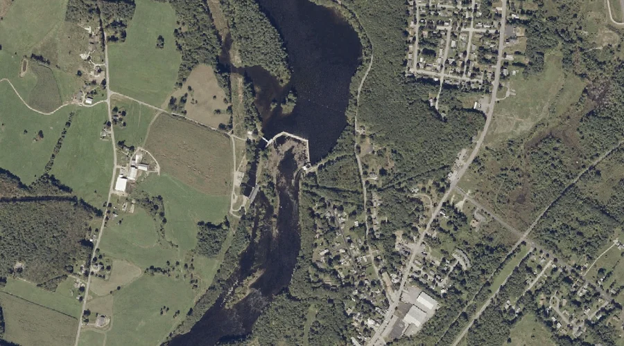
Androscoggin River Reservoir is a reservoir in Androscoggin County, Maine, located about 34.5 miles east-southeast of Chapman Inn in Bethel, Maine. It appears on the USGS Lake Auburn…
Taylor Brook is a reservoir in Androscoggin County, Maine, located about 34.7 miles southeast of Chapman Inn in Bethel, Maine. It appears on the USGS Minot topographic quadrangle.