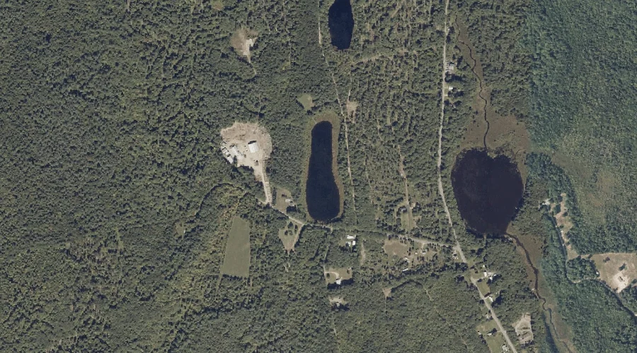
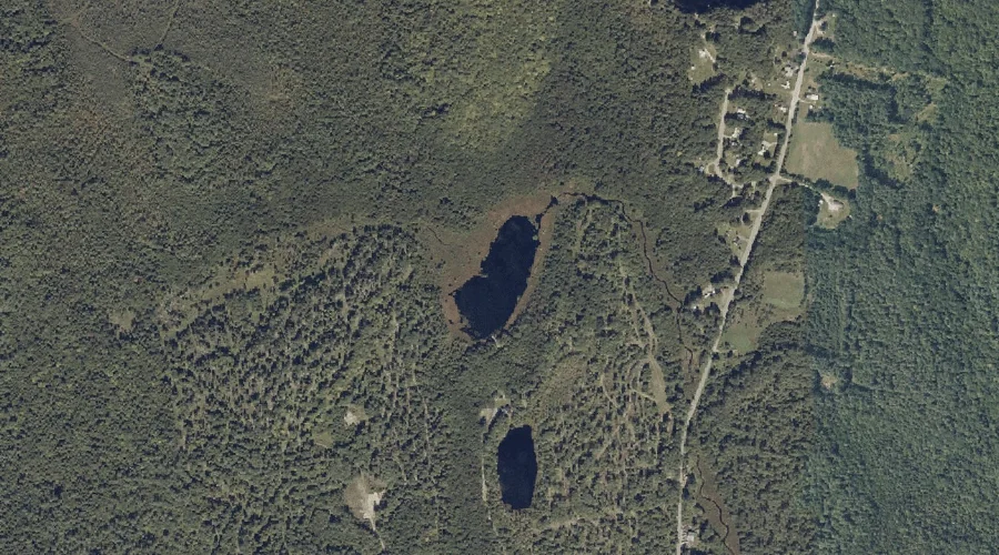
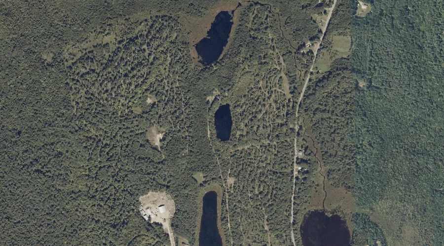
Turner Pond is a lake in Androscoggin County, Maine, located about 33.0 miles east of Chapman Inn in Bethel, Maine. It appears on the USGS Fayette topographic quadrangle.
Edwards Brook is a stream in Androscoggin County, Maine, located about 33.0 miles south-southeast of Chapman Inn in Bethel, Maine. It appears on the USGS Raymond topographic quadrangle.
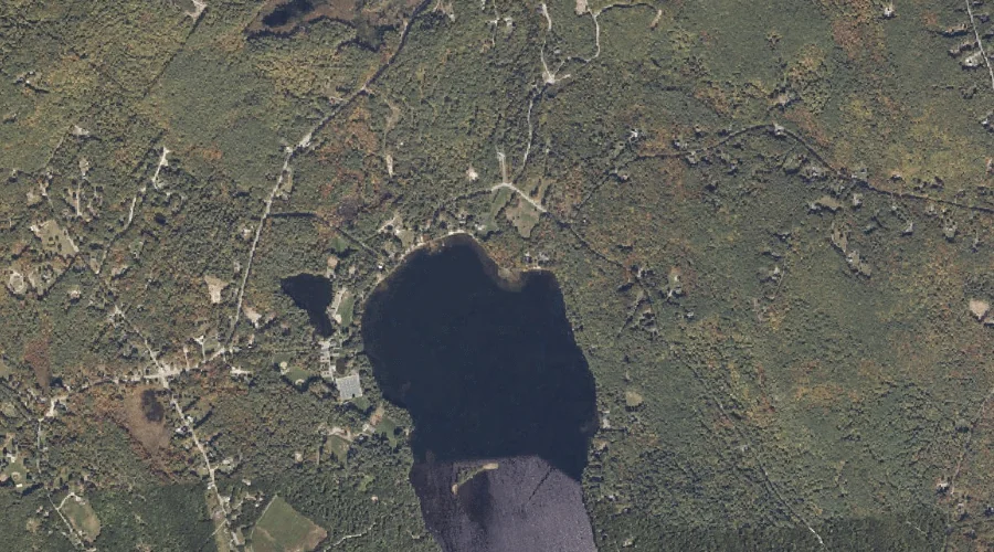
Middle Range Pond is a lake in Androscoggin County, Maine, located about 33.0 miles southeast of Chapman Inn in Bethel, Maine. It appears on the USGS Mechanic Falls…
Monument Hill is a summit in Androscoggin County, Maine, located about 33.0 miles east of Chapman Inn in Bethel, Maine. It appears on the USGS Turner Center topographic…
Rack Pond is a lake in Androscoggin County, Maine, located about 33.0 miles east of Chapman Inn in Bethel, Maine. It appears on the USGS Fayette topographic quadrangle.
Round Pond is a lake in Androscoggin County, Maine, located about 33.0 miles east of Chapman Inn in Bethel, Maine. It appears on the USGS Fayette topographic quadrangle.
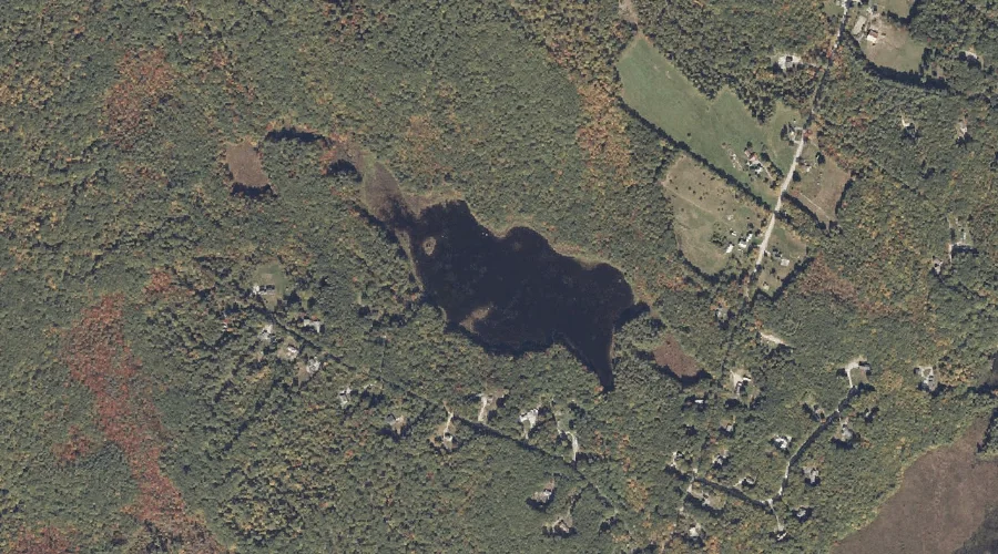
Estes Bog is a lake in Androscoggin County, Maine, located about 32.8 miles southeast of Chapman Inn in Bethel, Maine. It appears on the USGS Mechanic Falls topographic…
Mount Giles is a summit in Androscoggin County, Maine, located about 32.8 miles east-southeast of Chapman Inn in Bethel, Maine. It appears on the USGS Lake Auburn East…
Clark Mountain is a summit in Androscoggin County, Maine, located about 32.8 miles east-southeast of Chapman Inn in Bethel, Maine. It appears on the USGS Lake Auburn East…
Moose Hill is a summit in Androscoggin County, Maine, located about 32.8 miles east of Chapman Inn in Bethel, Maine. It appears on the USGS Livermore Falls topographic…