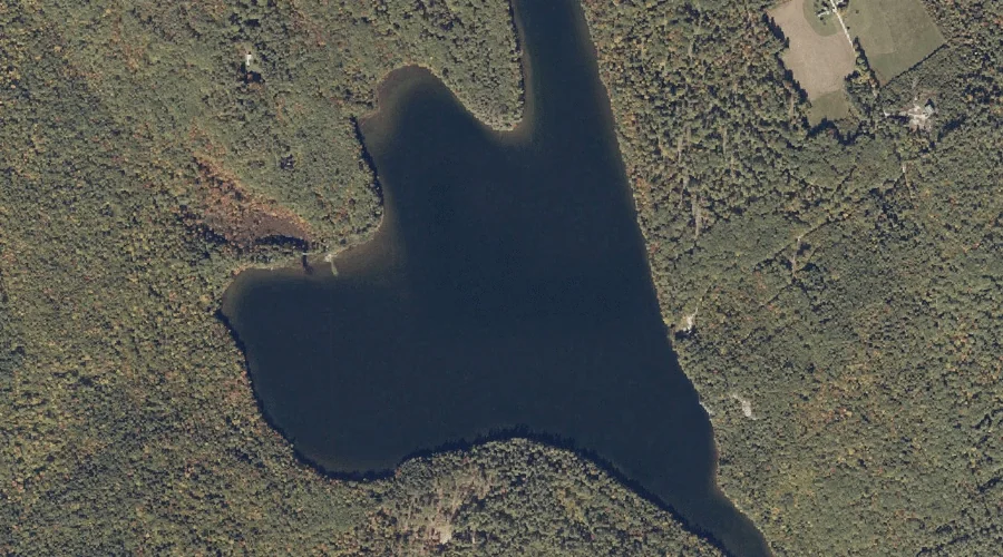
Little Loose Pond is a lake in Oxford County, Maine, located about 18.6 miles south of Chapman Inn in Bethel, Maine. It appears on the USGS Waterford Flat…
French Island is a island in Oxford County, Maine, located about 18.7 miles north-northeast of Chapman Inn in Bethel, Maine. It appears on the USGS Ellis Pond topographic…
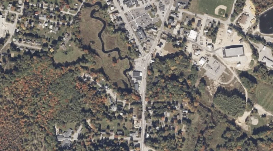
Steep Falls is a waterfall in Oxford County, Maine, located about 18.7 miles southeast of Chapman Inn in Bethel, Maine. It appears on the USGS Norway topographic quadrangle.
Stony Brook is a stream in Oxford County, Maine, located about 18.7 miles southeast of Chapman Inn in Bethel, Maine. It appears on the USGS Norway topographic quadrangle.
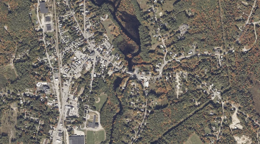
Little Androscoggin River Reservoir is a reservoir in Oxford County, Maine, located about 18.7 miles southeast of Chapman Inn in Bethel, Maine. It appears on the USGS Norway…
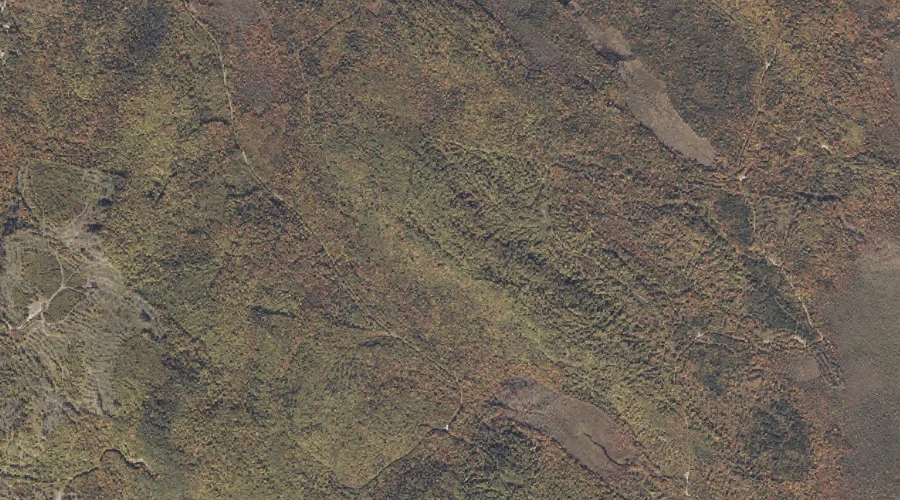
Harlow Ridge is a ridge in Oxford County, Maine, located about 18.7 miles northeast of Chapman Inn in Bethel, Maine. It appears on the USGS Dixfield topographic quadrangle.
Whitecap Brook is a stream in Oxford County, Maine, located about 18.5 miles north-northwest of Chapman Inn in Bethel, Maine. It appears on the USGS B Pond topographic…
Creeper Hill is a summit in Oxford County, Maine, located about 18.1 miles south-southwest of Chapman Inn in Bethel, Maine. It appears on the USGS Center Lovell topographic…
Keyes Pond is a lake in Oxford County, Maine, located about 18.1 miles south of Chapman Inn in Bethel, Maine. It appears on the USGS North Waterford topographic…
Hawk Mountain is a summit in Oxford County, Maine, located about 18.2 miles south-southeast of Chapman Inn in Bethel, Maine. It appears on the USGS Waterford Flat topographic…