 Aerial imagery: USGS National Map (public domain)
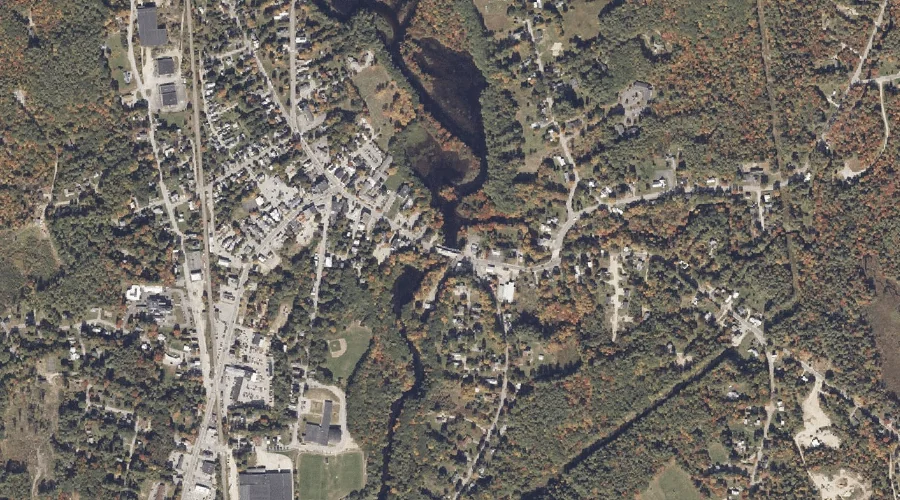
Little Androscoggin River Reservoir — Reservoirs 18.7 Miles SE of Chapman Inn
Oxford County, Maine · USGS Norway Quadrangle · GNIS 1774060
Catalogued on the USGS Norway quadrangle in Oxford County, Maine, Little Androscoggin River Reservoir — a reservoir — lies 18.7 miles southeast of Chapman Inn.
Landmark Profile
Classification & USGS reference
Catalogued under GNIS Feature ID 1774060, Little Androscoggin River Reservoir is recorded as a reservoir on the USGS Norway quadrangle in Oxford County, Maine (FIPS 23/017). Last revised by the Board on Geographic Names on 05/24/2010.
Coordinates & physical setting
Little Androscoggin River Reservoir sits at 44.22244° N, 70.50932° W (DMS 44°13′21″ N, 70°30′34″ W).
Other reservoirs in Oxford County, Maine
Oxford County, ME contains 51 reservoirs catalogued in the USGS Geographic Names Information System, counting Little Androscoggin River Reservoir itself. The ones closest to Little Androscoggin River Reservoir:
| Feature | USGS Quadrangle | Distance |
|---|---|---|
| Hall Pond | Oxford | 2.6 mi |
| Pennesseewassee Lake | Norway | 3.6 mi |
| Sand Pond | Norway | 5.2 mi |
| Little Pennesseewassee Pond | Norway | 5.3 mi |
| North Pond | West Paris | 5.4 mi |
| Marshall Pond | Oxford | 5.6 mi |
| Little Androscoggin River Reservoir | Oxford | 6.6 mi |
| Little Androscoggin River Reservoir | West Paris | 7.7 mi |
| Saturday Pond | Casco | 8.3 mi |
| North Pond | West Sumner | 9.1 mi |
Features on the USGS Norway Quadrangle
The Norway 7.5-minute topographic quadrangle holds 32 catalogued natural features alongside Little Androscoggin River Reservoir. A sampling nearest to this location:
| Feature | Type | County | Offset |
|---|---|---|---|
| Stony Brook | Streams | Oxford County, ME | 0.1 mi |
| Steep Falls | Waterfalls | Oxford County, ME | 1.5 mi |
| Pennesseewassee Stream | Streams | Oxford County, ME | 1.6 mi |
| Bird Brook | Streams | Oxford County, ME | 1.6 mi |
| Elm Hill | Summits | Oxford County, ME | 2 mi |
| Lovejoy Hill | Summits | Oxford County, ME | 2.5 mi |
| Pike Hill | Summits | Oxford County, ME | 2.5 mi |
| The Nubble | Summits | Oxford County, ME | 2.6 mi |
| Bogg Brook | Streams | Oxford County, ME | 2.6 mi |
| Witt Swamp | Swamps | Oxford County, ME | 2.7 mi |
Visiting from Chapman Inn
Distance, bearing & drive time
A 32-minute drive along back roads separates the front door of Chapman Inn from Little Androscoggin River Reservoir — 18.7 miles southeast as the crow flies, on compass bearing SE.
Best time to visit
June through September for paddling and swimming; January through March for ice fishing. At this latitude (44.222°), the shoulder seasons are workable — April and November can be comfortable on mild years. At 18.7 miles from the Inn, plan on a comfortable day trip with time for lunch on the road. Conditions at Little Androscoggin River Reservoir track the nearby Stony Brook stream (essentially adjacent) closely — if that is runnable, so is this.
Nearest features to Little Androscoggin River Reservoir
| Feature | Type | County | Distance |
|---|---|---|---|
| Stony Brook | Streams | Oxford County, ME | 0.1 mi |
| Twitchell Brook | Streams | Oxford County, ME | 0.6 mi |
| Brett Hill | Summits | Oxford County, ME | 1.1 mi |
| Steep Falls | Waterfalls | Oxford County, ME | 1.5 mi |
| Pennesseewassee Stream | Streams | Oxford County, ME | 1.6 mi |
Frequently Asked Questions
Where is Little Androscoggin River Reservoir located?
Little Androscoggin River Reservoir is in Oxford County, Maine, approximately 18.7 miles southeast of Chapman Inn in Bethel, Maine. It appears on the USGS Norway topographic quadrangle.
How far is Little Androscoggin River Reservoir from Chapman Inn?
The drive runs about 32 minutes, 18.7 miles southeast (bearing SE) of the Inn.
What type of natural feature is Little Androscoggin River Reservoir?
The U.S. Geological Survey classifies Little Androscoggin River Reservoir as a reservoir, catalogued under GNIS Feature ID 1774060 on the Norway quadrangle.
When is the best time to visit Little Androscoggin River Reservoir?
June through September for paddling and swimming; January through March for ice fishing.
How many other reservoirs are in Oxford County, Maine?
GNIS lists 50 other reservoirs in Oxford County, Maine.