 Aerial imagery: USGS National Map (public domain)
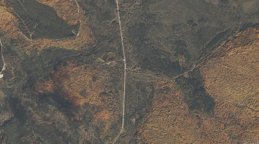
Whitecap Brook — Streams 18.5 Miles NNW of Chapman Inn
Oxford County, Maine · USGS B Pond Quadrangle · GNIS 578376
18.5 miles north-northwest of Chapman Inn, on the USGS B Pond topographic quadrangle, Whitecap Brook is a stream recorded in Oxford County, Maine by the federal Geographic Names Information System.
Wikidata short description: “river in the United States of America”
Landmark Profile
Classification & USGS reference
The USGS B Pond 7.5-minute topographic quadrangle places Whitecap Brook in Oxford County, Maine (FIPS 23/017), classified as a stream in the federal GNIS (Feature ID 578376). Catalogued in GNIS since 09/30/1980.
Coordinates & physical setting
Whitecap Brook sits at 44.64395° N, 70.95563° W (DMS 44°38′38″ N, 70°57′20″ W).
As a linear feature its source lies near 44.60617° N, 70.92369° W (DMS 44°36′22″ N, 70°55′25″ W) — useful for anglers and paddlers tracing the upstream end.
Other streams in Oxford County, Maine
Oxford County, ME contains 296 streams catalogued in the USGS Geographic Names Information System, counting Whitecap Brook itself. The ones closest to Whitecap Brook:
| Feature | USGS Quadrangle | Distance |
|---|---|---|
| Cedar Brook | B Pond | 0.4 mi |
| Black Brook | B Pond | 1.1 mi |
| Lou Ann Brook | B Pond | 4 mi |
| Campbell Brook | B Pond | 4.8 mi |
| Frye Brook | Andover | 4.9 mi |
| Burroughs Brook | Andover | 5.4 mi |
| Swift Cambridge River | B Pond | 5.4 mi |
| Greenwood Brook | B Pond | 5.5 mi |
| Morse Brook | Old Speck Mountain | 5.6 mi |
| Dead Cambridge River | Umbagog Lake South | 5.6 mi |
Features on the USGS B Pond Quadrangle
The B Pond 7.5-minute topographic quadrangle holds 20 catalogued natural features alongside Whitecap Brook. A sampling nearest to this location:
| Feature | Type | County | Offset |
|---|---|---|---|
| Cedar Brook | Streams | Oxford County, ME | 0.4 mi |
| Black Brook | Streams | Oxford County, ME | 1.1 mi |
| North Pond | Lakes | Oxford County, ME | 1.3 mi |
| Deer Hill | Summits | Oxford County, ME | 1.6 mi |
| Dunn Notch | Gaps | Oxford County, ME | 2.1 mi |
| East B Hill | Summits | Oxford County, ME | 2.2 mi |
| Surplus Mountain | Summits | Oxford County, ME | 2.6 mi |
| Dunn Falls | Waterfalls | Oxford County, ME | 3.1 mi |
| Spruce Mountain | Summits | Oxford County, ME | 3.5 mi |
| Rabbit Knoll | Summits | Oxford County, ME | 3.5 mi |
Visiting from Chapman Inn
Distance, bearing & drive time
Chapman Inn sits 18.5 miles north-northwest (bearing NNW) of Whitecap Brook. At moderate back-road speeds the drive runs about 32 minutes — comfortably inside a half-day outing window after breakfast.
Best time to visit
Best observed in late spring and early summer when flow is strong and banks are visible. At this latitude (44.644°), the shoulder seasons are workable — April and November can be comfortable on mild years. At 18.5 miles from the Inn, plan on a comfortable day trip with time for lunch on the road. Conditions at Whitecap Brook track the nearby Cedar Brook stream (0.4 mi away) closely — if that is runnable, so is this.
Nearest features to Whitecap Brook
| Feature | Type | County | Distance |
|---|---|---|---|
| Cedar Brook | Streams | Oxford County, ME | 0.4 mi |
| Black Brook | Streams | Oxford County, ME | 1.1 mi |
| North Pond | Lakes | Oxford County, ME | 1.3 mi |
| Deer Hill | Summits | Oxford County, ME | 1.6 mi |
| Dunn Notch | Gaps | Oxford County, ME | 2.1 mi |
Frequently Asked Questions
Where is Whitecap Brook located?
Whitecap Brook is in Oxford County, Maine, approximately 18.5 miles north-northwest of Chapman Inn in Bethel, Maine. It appears on the USGS B Pond topographic quadrangle.
How far is Whitecap Brook from Chapman Inn?
The drive runs about 32 minutes, 18.5 miles north-northwest (bearing NNW) of the Inn.
What type of natural feature is Whitecap Brook?
The U.S. Geological Survey classifies Whitecap Brook as a stream, catalogued under GNIS Feature ID 578376 on the B Pond quadrangle.
When is the best time to visit Whitecap Brook?
Best observed in late spring and early summer when flow is strong and banks are visible.
How many other streams are in Oxford County, Maine?
GNIS lists 295 other streams in Oxford County, Maine.
Wikidata: Q34895328.