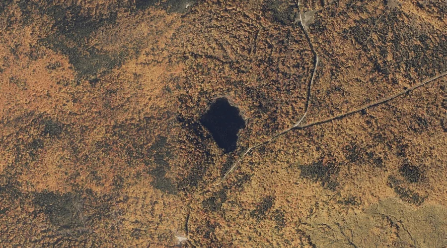
Surplus Pond is a lake in Oxford County, Maine, located about 19.0 miles north of Chapman Inn in Bethel, Maine. It appears on the USGS Andover topographic quadrangle.
Whitecap Brook is a stream in Oxford County, Maine, located about 18.5 miles north-northwest of Chapman Inn in Bethel, Maine. It appears on the USGS B Pond topographic…
Lower Bay is a bay in Oxford County, Maine, located about 18.5 miles south-southwest of Chapman Inn in Bethel, Maine. It appears on the USGS Center Lovell topographic…
Turner Hill is a summit in Oxford County, Maine, located about 18.5 miles east-southeast of Chapman Inn in Bethel, Maine. It appears on the USGS West Sumner topographic…
Dunn Notch is a mountain gap in Oxford County, Maine, located about 18.5 miles north-northwest of Chapman Inn in Bethel, Maine. It appears on the USGS B Pond…
Ellis Pond is a lake in Oxford County, Maine, located about 18.5 miles north-northeast of Chapman Inn in Bethel, Maine. It appears on the USGS Ellis Pond topographic…
Little Labrador Pond is a lake in Oxford County, Maine, located about 18.5 miles east of Chapman Inn in Bethel, Maine. It appears on the USGS Worthley Pond…
Spears Stream is a stream in Oxford County, Maine, located about 18.5 miles east-northeast of Chapman Inn in Bethel, Maine. It appears on the USGS Dixfield topographic quadrangle.
Deer Hill is a summit in Oxford County, Maine, located about 18.5 miles south-southeast of Chapman Inn in Bethel, Maine. It appears on the USGS Waterford Flat topographic…
Dunn Falls is a waterfall in Oxford County, Maine, located about 18.6 miles north-northwest of Chapman Inn in Bethel, Maine. It appears on the USGS B Pond topographic…