Cold Brook is a stream in Oxford County, Maine, located about 17.9 miles south of Chapman Inn in Bethel, Maine. It appears on the USGS North Waterford topographic…
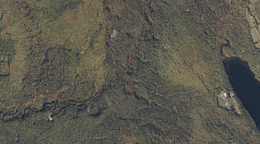
Black Pond is a lake in Oxford County, Maine, located about 18.0 miles south of Chapman Inn in Bethel, Maine. It appears on the USGS North Waterford topographic…
Thompson Hill is a summit in Oxford County, Maine, located about 18.0 miles northeast of Chapman Inn in Bethel, Maine. It appears on the USGS Rumford topographic quadrangle.
Temple Hill is a summit in Oxford County, Maine, located about 18.0 miles south-southeast of Chapman Inn in Bethel, Maine. It appears on the USGS Waterford Flat topographic…
North Pond is a lake in Oxford County, Maine, located about 18.0 miles north-northwest of Chapman Inn in Bethel, Maine. It appears on the USGS B Pond topographic…
Frost Hill is a summit in Oxford County, Maine, located about 18.0 miles south-southeast of Chapman Inn in Bethel, Maine. It appears on the USGS Norway topographic quadrangle.
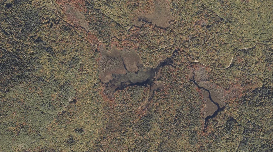
Mud Pond is a lake in Oxford County, Maine, located about 17.8 miles east of Chapman Inn in Bethel, Maine. It appears on the USGS Worthley Pond topographic…
Ryerson Hill is a summit in Oxford County, Maine, located about 17.8 miles east-southeast of Chapman Inn in Bethel, Maine. It appears on the USGS West Sumner topographic…
Deer Hill is a summit in Oxford County, Maine, located about 17.8 miles north-northwest of Chapman Inn in Bethel, Maine. It appears on the USGS B Pond topographic…
Mann Hill is a summit in Oxford County, Maine, located about 17.8 miles northeast of Chapman Inn in Bethel, Maine. It appears on the USGS Rumford topographic quadrangle.