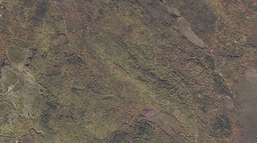
 Aerial imagery: USGS National Map (public domain)
Harlow Ridge — Ridges 18.7 Miles NE of Chapman Inn
Oxford County, Maine · USGS Dixfield Quadrangle · GNIS 567644
Within Oxford County, Maine, on the USGS Dixfield quadrangle, the ridge known as Harlow Ridge sits 18.7 miles northeast of Chapman Inn.
Wikidata short description: “ridge in Oxford County, Maine, United States”
Landmark Profile
Classification & USGS reference
Within Oxford County, Maine, the U.S. Geological Survey lists Harlow Ridge as a ridge on the Dixfield topographic quadrangle (FIPS 23/017), under Feature ID 567644. Last revised by the Board on Geographic Names on 06/16/2022.
Coordinates & physical setting
Harlow Ridge sits at 44.57190° N, 70.49009° W (DMS 44°34′19″ N, 70°29′24″ W).
Other ridges in Oxford County, Maine
Oxford County, ME contains 11 ridges catalogued in the USGS Geographic Names Information System, counting Harlow Ridge itself. The ones closest to Harlow Ridge:
| Feature | USGS Quadrangle | Elevation | Distance |
|---|---|---|---|
| Days Ridge | Bryant Pond | — | 13.7 mi |
| Halls Ridge | Greenwood | — | 18.1 mi |
| Crockett Ridge | Norway | — | 23.5 mi |
| Hemenway Ridge | Old Speck Mountain | — | 23.7 mi |
| Carry Ridge | Middle Dam | — | 27 mi |
| Inlet Ridge | Middle Dam | — | 28.3 mi |
| Sylvester Ridge | Casco | — | 36.3 mi |
| Daddys Ridge | Kennebago | — | 37 mi |
| Poplar Ridge | Casco | — | 38.1 mi |
| Moulton Ridge | Kezar Falls | — | 54.8 mi |
Features on the USGS Dixfield Quadrangle
The Dixfield 7.5-minute topographic quadrangle holds 36 catalogued natural features alongside Harlow Ridge. A sampling nearest to this location:
| Feature | Type | County | Offset |
|---|---|---|---|
| Trask Ledge | Summits | Oxford County, ME | 1.5 mi |
| Staples Brook | Streams | Oxford County, ME | 1.6 mi |
| Aunt Hannah Brook | Streams | Oxford County, ME | 1.7 mi |
| Paddy Meadow Brook | Streams | Oxford County, ME | 1.7 mi |
| Mitchell Brook | Streams | Oxford County, ME | 1.8 mi |
| The Falls | Waterfalls | Oxford County, ME | 1.8 mi |
| Kittredge Brook | Streams | Franklin County, ME | 2.3 mi |
| Lovejoy Mountain | Summits | Oxford County, ME | 2.5 mi |
| Masterman Hill | Summits | Oxford County, ME | 2.5 mi |
| Kidder Mountain | Summits | Oxford County, ME | 2.6 mi |
Visiting from Chapman Inn
Distance, bearing & drive time
Follow the compass bearing NE out of Bethel for 18.7 miles (northeast) and you reach Harlow Ridge; at typical rural speeds the trip runs roughly 32 minutes.
Best time to visit
Accessible May through November in most years. At this latitude (44.572°), the shoulder seasons are workable — April and November can be comfortable on mild years. At 18.7 miles from the Inn, plan on a comfortable day trip with time for lunch on the road. Conditions at Harlow Ridge track the nearby Mann Hill summit (0.9 mi away) closely — if that is runnable, so is this.
Nearest features to Harlow Ridge
| Feature | Type | County | Distance |
|---|---|---|---|
| Mann Hill | Summits | Oxford County, ME | 0.9 mi |
| Trask Ledge | Summits | Oxford County, ME | 1.5 mi |
| Staples Brook | Streams | Oxford County, ME | 1.6 mi |
| Aunt Hannah Brook | Streams | Oxford County, ME | 1.7 mi |
| Paddy Meadow Brook | Streams | Oxford County, ME | 1.7 mi |
Frequently Asked Questions
Where is Harlow Ridge located?
Harlow Ridge is in Oxford County, Maine, approximately 18.7 miles northeast of Chapman Inn in Bethel, Maine. It appears on the USGS Dixfield topographic quadrangle.
How far is Harlow Ridge from Chapman Inn?
The drive runs about 32 minutes, 18.7 miles northeast (bearing NE) of the Inn.
What type of natural feature is Harlow Ridge?
The U.S. Geological Survey classifies Harlow Ridge as a ridge, catalogued under GNIS Feature ID 567644 on the Dixfield quadrangle.
When is the best time to visit Harlow Ridge?
Accessible May through November in most years.
How many other ridges are in Oxford County, Maine?
GNIS lists 10 other ridges in Oxford County, Maine.
Wikidata: Q34860670.