Hedgehog Ledge is a cliff face in Oxford County, Maine, located about 18.8 miles south of Chapman Inn in Bethel, Maine. It appears on the USGS Waterford Flat…
Kimball Hill is a summit in Oxford County, Maine, located about 18.8 miles south of Chapman Inn in Bethel, Maine. It appears on the USGS Waterford Flat topographic…
Brigham Ledge is a cliff face in Oxford County, Maine, located about 18.9 miles south of Chapman Inn in Bethel, Maine. It appears on the USGS Waterford Flat…
Carr Mountain is a summit in Oxford County, Maine, located about 18.9 miles northeast of Chapman Inn in Bethel, Maine. It appears on the USGS Rumford topographic quadrangle.
Sumner Hill is a summit in Oxford County, Maine, located about 18.9 miles east of Chapman Inn in Bethel, Maine. It appears on the USGS West Sumner topographic…
Ragged Jack Mountain is a summit in Oxford County, Maine, located about 18.9 miles east of Chapman Inn in Bethel, Maine. It appears on the USGS Worthley Pond…
Birch Brook is a stream in Oxford County, Maine, located about 18.9 miles north-northeast of Chapman Inn in Bethel, Maine. It appears on the USGS Roxbury topographic quadrangle.
Morrill Ledges is a summit in Oxford County, Maine, located about 18.9 miles east-northeast of Chapman Inn in Bethel, Maine. It appears on the USGS Dixfield topographic quadrangle.
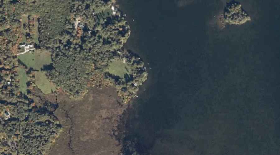
Pigeon Point is a cape in Oxford County, Maine, located about 18.9 miles south-southwest of Chapman Inn in Bethel, Maine. It appears on the USGS Center Lovell topographic…
Pennesseewassee Stream is a stream in Oxford County, Maine, located about 19.0 miles southeast of Chapman Inn in Bethel, Maine. It appears on the USGS Norway topographic quadrangle.