 Aerial imagery: USGS National Map (public domain)
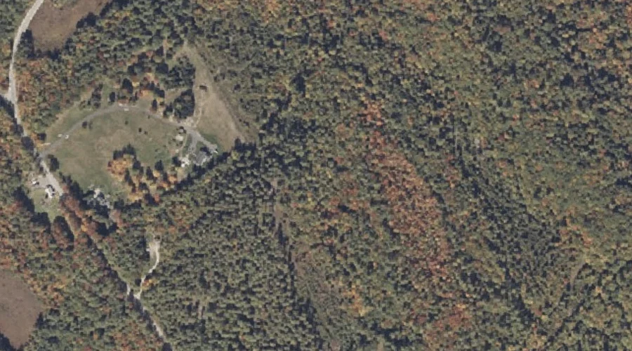
Nutting Ledge — Benches 25.8 Miles SSE of Chapman Inn
Oxford County, Maine · USGS Casco Quadrangle · GNIS 572556
25.8 miles south-southeast of Chapman Inn, on the USGS Casco topographic quadrangle, Nutting Ledge is a bench terrace recorded in Oxford County, Maine by the federal Geographic Names Information System.
Landmark Profile
Classification & USGS reference
The USGS Casco 7.5-minute topographic quadrangle places Nutting Ledge in Oxford County, Maine (FIPS 23/017), classified as a bench terrace in the federal GNIS (Feature ID 572556). Last revised by the Board on Geographic Names on 02/17/2012.
Coordinates & physical setting
Nutting Ledge sits at 44.07612° N, 70.54274° W (DMS 44°04′34″ N, 70°32′34″ W).
Features on the USGS Casco Quadrangle
The Casco 7.5-minute topographic quadrangle holds 46 catalogued natural features alongside Nutting Ledge. A sampling nearest to this location:
| Feature | Type | County | Offset |
|---|---|---|---|
| Dyer Ice Pond | Lakes | Oxford County, ME | 0.3 mi |
| Coon Road Swamp | Swamps | Oxford County, ME | 0.5 mi |
| Middle Brook Bog | Swamps | Oxford County, ME | 1.1 mi |
| Dolly Brook | Streams | Oxford County, ME | 1.3 mi |
| Greely Brook | Streams | Oxford County, ME | 1.3 mi |
| Scribner Hill | Summits | Oxford County, ME | 1.3 mi |
| College Swamp | Swamps | Oxford County, ME | 1.5 mi |
| Sucker Brook | Streams | Oxford County, ME | 1.5 mi |
| Knights Brook | Streams | Oxford County, ME | 1.6 mi |
| Otisfield Cove | Bays | Oxford County, ME | 1.6 mi |
Visiting from Chapman Inn
Distance, bearing & drive time
Chapman Inn sits 25.8 miles south-southeast (bearing SSE) of Nutting Ledge. At moderate back-road speeds the drive runs about 44 minutes — comfortably inside a half-day outing window after breakfast.
Best time to visit
Generally accessible May through October; winter access depends on snow cover. At this latitude (44.076°), the shoulder seasons are workable — April and November can be comfortable on mild years. At 25.8 miles from the Inn, block the full day — sunrise start, late return, packed meals. Conditions at Nutting Ledge track the nearby Dyer Ice Pond lake (0.3 mi away) closely — if that is runnable, so is this.
Nearest features to Nutting Ledge
| Feature | Type | County | Distance |
|---|---|---|---|
| Dyer Ice Pond | Lakes | Oxford County, ME | 0.3 mi |
| Coon Road Swamp | Swamps | Oxford County, ME | 0.5 mi |
| Middle Brook Bog | Swamps | Oxford County, ME | 1.1 mi |
| Dolly Brook | Streams | Oxford County, ME | 1.3 mi |
| Greely Brook | Streams | Oxford County, ME | 1.3 mi |
Frequently Asked Questions
Where is Nutting Ledge located?
Nutting Ledge is in Oxford County, Maine, approximately 25.8 miles south-southeast of Chapman Inn in Bethel, Maine. It appears on the USGS Casco topographic quadrangle.
How far is Nutting Ledge from Chapman Inn?
The drive runs about 44 minutes, 25.8 miles south-southeast (bearing SSE) of the Inn.
What type of natural feature is Nutting Ledge?
The U.S. Geological Survey classifies Nutting Ledge as a bench terrace, catalogued under GNIS Feature ID 572556 on the Casco quadrangle.
When is the best time to visit Nutting Ledge?
Generally accessible May through October; winter access depends on snow cover.
Wikidata: Q49172978.