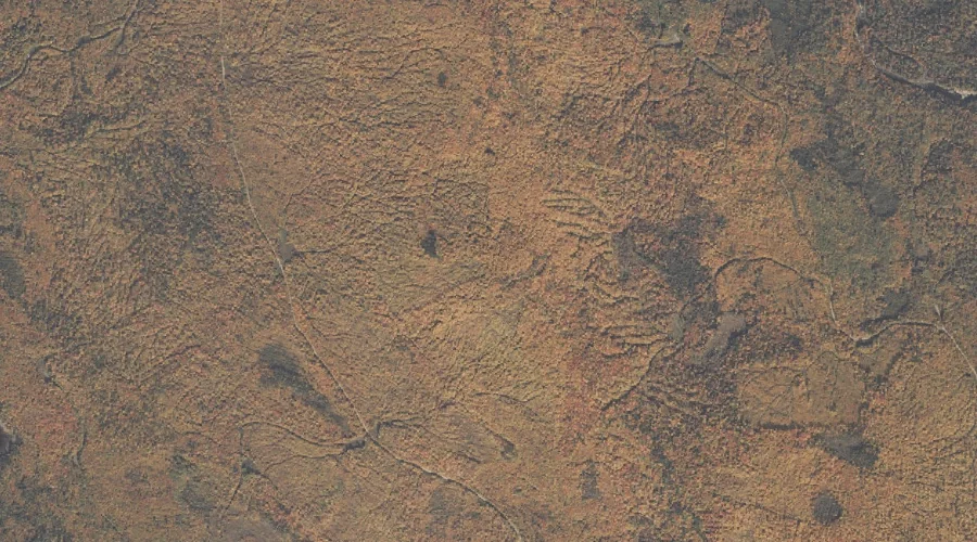
Dean Hill is a summit in Oxford County, Maine, located about 26.9 miles southeast of Chapman Inn in Bethel, Maine. It appears on the USGS Mechanic Falls topographic…
Inlet Ridge is a ridge in Oxford County, Maine, located about 26.9 miles north-northwest of Chapman Inn in Bethel, Maine. It appears on the USGS Middle Dam topographic…
West Branch Bog Brook is a stream in Oxford County, Maine, located about 26.5 miles southeast of Chapman Inn in Bethel, Maine. It appears on the USGS Oxford…
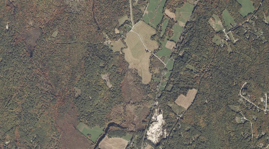
Green Pond is a lake in Oxford County, Maine, located about 26.6 miles southeast of Chapman Inn in Bethel, Maine. It appears on the USGS Mechanic Falls topographic…
Academy Hill is a summit in Oxford County, Maine, located about 26.7 miles east of Chapman Inn in Bethel, Maine. It appears on the USGS Canton topographic quadrangle.
Dolly Mountain is a summit in Oxford County, Maine, located about 26.5 miles north-northeast of Chapman Inn in Bethel, Maine. It appears on the USGS Jackson Mountain topographic…
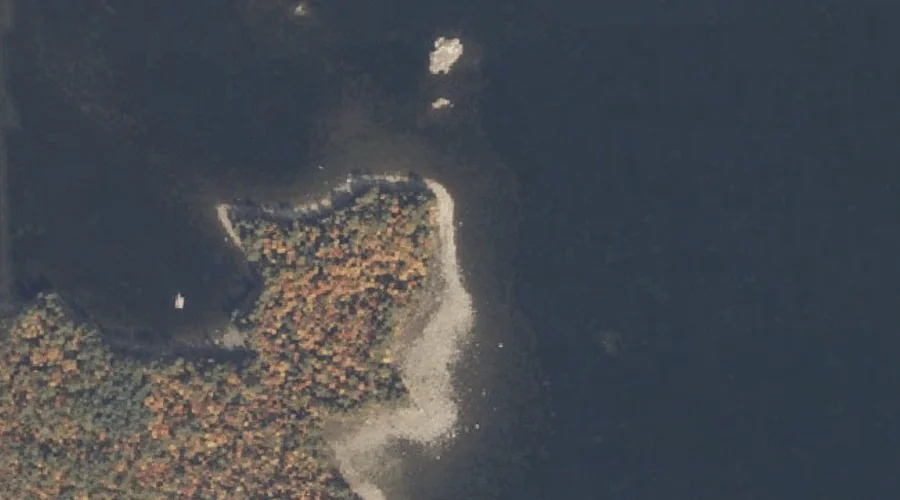
Cat Pond is a lake in Oxford County, Maine, located about 26.5 miles south-southwest of Chapman Inn in Bethel, Maine. It appears on the USGS Fryeburg topographic quadrangle.
Metallak Mountain is a summit in Oxford County, Maine, located about 26.4 miles north of Chapman Inn in Bethel, Maine. It appears on the USGS Metallak Mountain topographic…
Rifle Point is a cape in Oxford County, Maine, located about 26.4 miles north-northwest of Chapman Inn in Bethel, Maine. It appears on the USGS Middle Dam topographic…
Pleasant Mountain is a summit in Oxford County, Maine, located about 26.2 miles south of Chapman Inn in Bethel, Maine. It appears on the USGS Pleasant Mountain topographic…