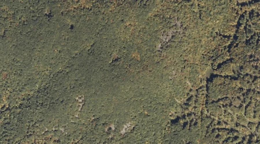
Bill Merrill Mountain is a summit in Oxford County, Maine, located about 38.1 miles south of Chapman Inn in Bethel, Maine. It appears on the USGS Cornish topographic…
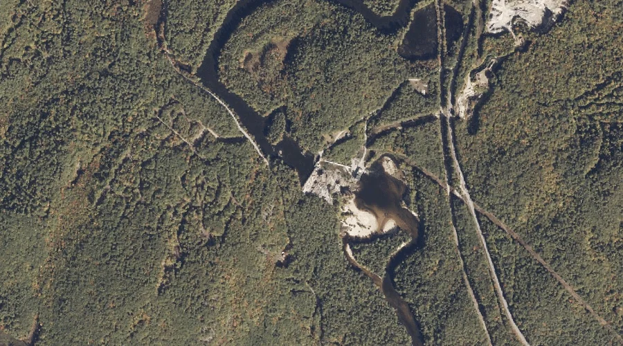
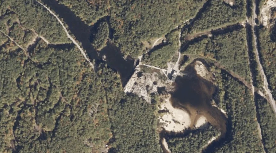
Saco River Reservoir is a reservoir in Oxford County, Maine, located about 38.2 miles south of Chapman Inn in Bethel, Maine. It appears on the USGS Cornish topographic…
Great Falls is a waterfall in Oxford County, Maine, located about 38.2 miles south of Chapman Inn in Bethel, Maine. It appears on the USGS Cornish topographic quadrangle.
Bowley Rock is a rock pillar in Oxford County, Maine, located about 38.0 miles north of Chapman Inn in Bethel, Maine. It appears on the USGS Oquossoc topographic…
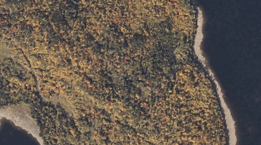
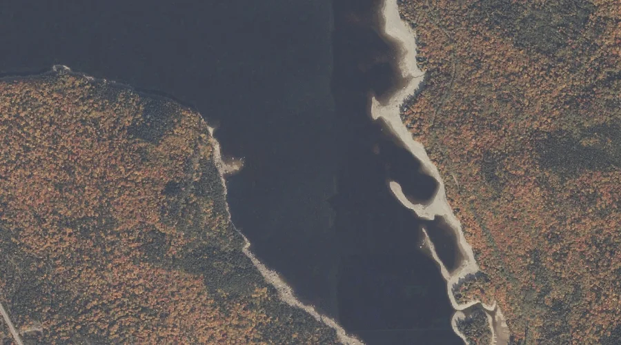
Black Brook Cove is a bay in Oxford County, Maine, located about 38.1 miles north-northwest of Chapman Inn in Bethel, Maine. It appears on the USGS Richardson Pond…
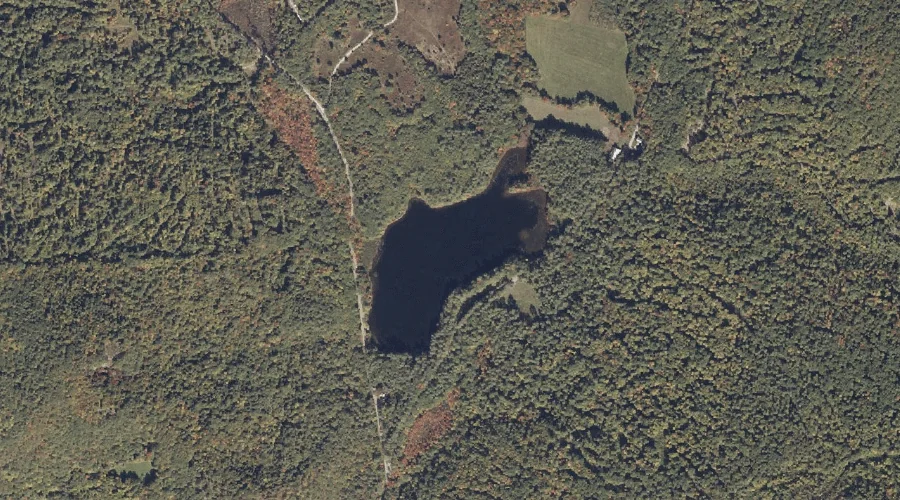
Little Clemons Pond is a lake in Oxford County, Maine, located about 37.6 miles south of Chapman Inn in Bethel, Maine. It appears on the USGS Kezar Falls…
Griffin Island is a island in Oxford County, Maine, located about 37.6 miles north of Chapman Inn in Bethel, Maine. It appears on the USGS Oquossoc topographic quadrangle.
Stony Batter Point is a cape in Oxford County, Maine, located about 37.6 miles north of Chapman Inn in Bethel, Maine. It appears on the USGS Oquossoc topographic…
Whales Back is a summit in Oxford County, Maine, located about 37.4 miles south-southwest of Chapman Inn in Bethel, Maine. It appears on the USGS Brownfield topographic quadrangle.
Turner Island is a island in Oxford County, Maine, located about 37.3 miles north of Chapman Inn in Bethel, Maine. It appears on the USGS Oquossoc topographic quadrangle.