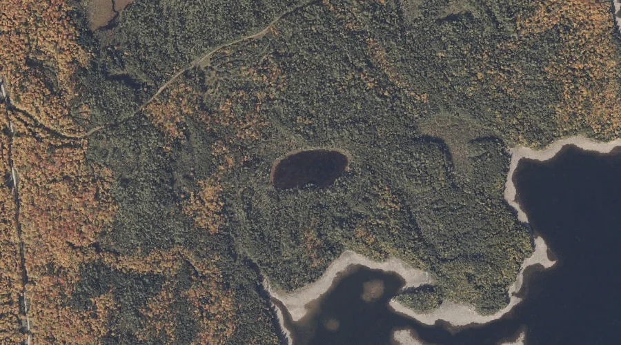
Goodwin Pond is a lake in Oxford County, Maine, located about 37.2 miles north of Chapman Inn in Bethel, Maine. It appears on the USGS Oquossoc topographic quadrangle.
Lunch Island is a island in Oxford County, Maine, located about 37.2 miles north of Chapman Inn in Bethel, Maine. It appears on the USGS Oquossoc topographic quadrangle.
West Branch Tenmile River is a stream in Oxford County, Maine, located about 37.2 miles south of Chapman Inn in Bethel, Maine. It appears on the USGS Brownfield…
Johnson Island is a island in Oxford County, Maine, located about 37.3 miles north of Chapman Inn in Bethel, Maine. It appears on the USGS Oquossoc topographic quadrangle.
Deer Mountain Stream is a stream in Oxford County, Maine, located about 37.3 miles north of Chapman Inn in Bethel, Maine. It appears on the USGS Richardson Pond…
Pine Hill is a summit in Oxford County, Maine, located about 37.1 miles south-southwest of Chapman Inn in Bethel, Maine. It appears on the USGS Brownfield topographic quadrangle.
Observatory Mountain is a summit in Oxford County, Maine, located about 37.0 miles north-northwest of Chapman Inn in Bethel, Maine. It appears on the USGS Richardson Pond topographic…
Robbins Hill is a summit in Oxford County, Maine, located about 36.8 miles south of Chapman Inn in Bethel, Maine. It appears on the USGS Cornish topographic quadrangle.
Mount Cutler is a summit in Oxford County, Maine, located about 36.8 miles south of Chapman Inn in Bethel, Maine. It appears on the USGS Cornish topographic quadrangle.
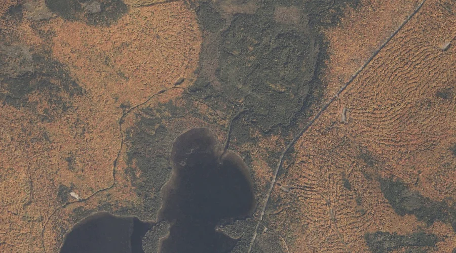
Wildwood Cove is a bay in Oxford County, Maine, located about 36.8 miles north of Chapman Inn in Bethel, Maine. It appears on the USGS Oquossoc topographic quadrangle.