Thurston Brook is a stream in Oxford County, Maine, located about 39.8 miles south-southwest of Chapman Inn in Bethel, Maine. It appears on the USGS Kezar Falls topographic…
Sanderson Brook is a stream in Oxford County, Maine, located about 39.8 miles north-northwest of Chapman Inn in Bethel, Maine. It appears on the USGS Wilsons Mills topographic…
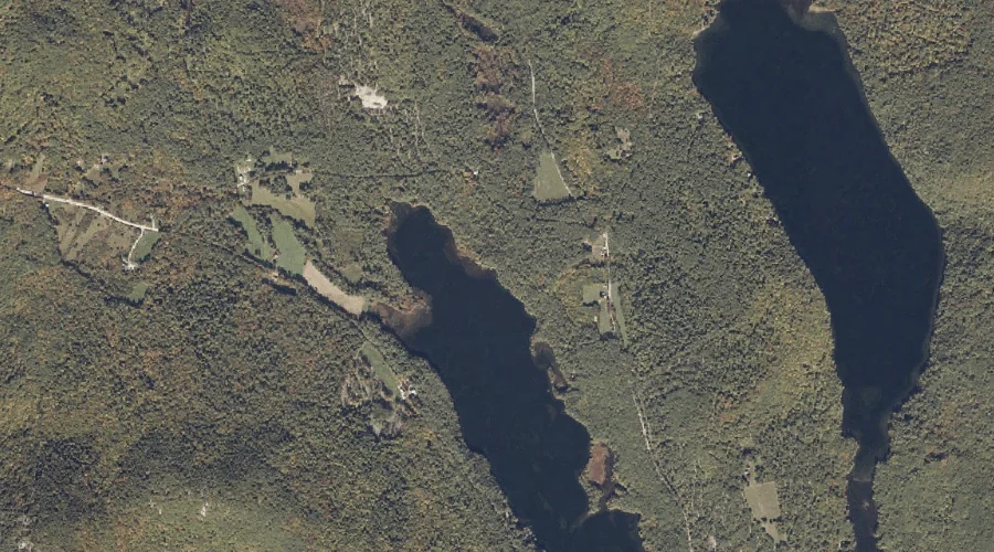
Chapman Pond is a lake in Oxford County, Maine, located about 39.6 miles south of Chapman Inn in Bethel, Maine. It appears on the USGS Kezar Falls topographic…
Stanley Pond is a reservoir in Oxford County, Maine, located about 39.6 miles south of Chapman Inn in Bethel, Maine. It appears on the USGS Kezar Falls topographic…
Colcord Pond is a reservoir in Oxford County, Maine, located about 39.4 miles south-southwest of Chapman Inn in Bethel, Maine. It appears on the USGS Kezar Falls topographic…
Beaver Brook is a stream in Oxford County, Maine, located about 39.5 miles north-northwest of Chapman Inn in Bethel, Maine. It appears on the USGS Richardson Pond topographic…
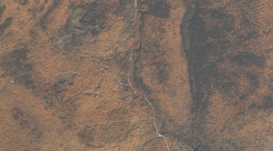
Moulton Ridge is a ridge in Oxford County, Maine, located about 39.2 miles south-southwest of Chapman Inn in Bethel, Maine. It appears on the USGS Kezar Falls topographic…
Peaked Mountain is a summit in Oxford County, Maine, located about 39.2 miles south of Chapman Inn in Bethel, Maine. It appears on the USGS Cornish topographic quadrangle.
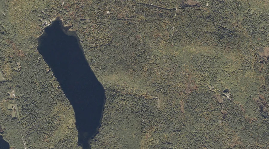
Chalk Pond is a lake in Oxford County, Maine, located about 39.2 miles south-southwest of Chapman Inn in Bethel, Maine. It appears on the USGS Kezar Falls topographic…
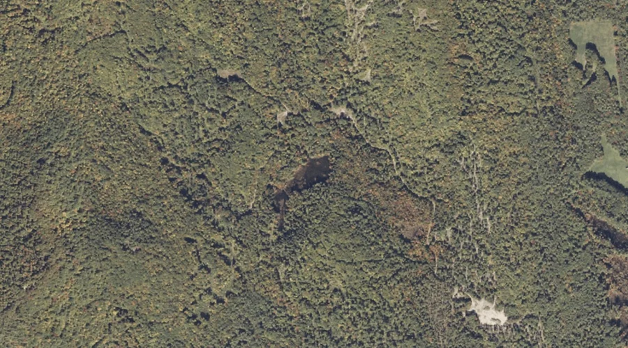
Fork Hill is a summit in Oxford County, Maine, located about 38.9 miles south of Chapman Inn in Bethel, Maine. It appears on the USGS Kezar Falls topographic…