Trafton Pond is a lake in Oxford County, Maine, located about 39.0 miles south of Chapman Inn in Bethel, Maine. It appears on the USGS Kezar Falls topographic…
Little Abbott Brook is a stream in Oxford County, Maine, located about 39.0 miles north-northwest of Chapman Inn in Bethel, Maine. It appears on the USGS Wilsons Mills…
Gould Mountain is a summit in Oxford County, Maine, located about 39.0 miles south of Chapman Inn in Bethel, Maine. It appears on the USGS Cornish topographic quadrangle.
Stacy Hill is a summit in Oxford County, Maine, located about 38.8 miles south of Chapman Inn in Bethel, Maine. It appears on the USGS Kezar Falls topographic…
Sunday Pond (historical) is a lake in Oxford County, Maine, located about 38.6 miles north-northwest of Chapman Inn in Bethel, Maine. It appears on the USGS Richardson Pond…
Aziscohos Falls (historical) is a waterfall in Oxford County, Maine, located about 38.7 miles north-northwest of Chapman Inn in Bethel, Maine. It appears on the USGS Richardson Pond…
Little Mud Pond is a lake in Oxford County, Maine, located about 38.2 miles north of Chapman Inn in Bethel, Maine. It appears on the USGS Oquossoc topographic…
Devils Den is a summit in Oxford County, Maine, located about 38.3 miles south-southwest of Chapman Inn in Bethel, Maine. It appears on the USGS Kezar Falls topographic…
Rattlesnake Mountain is a summit in Oxford County, Maine, located about 38.3 miles south of Chapman Inn in Bethel, Maine. It appears on the USGS Kezar Falls topographic…
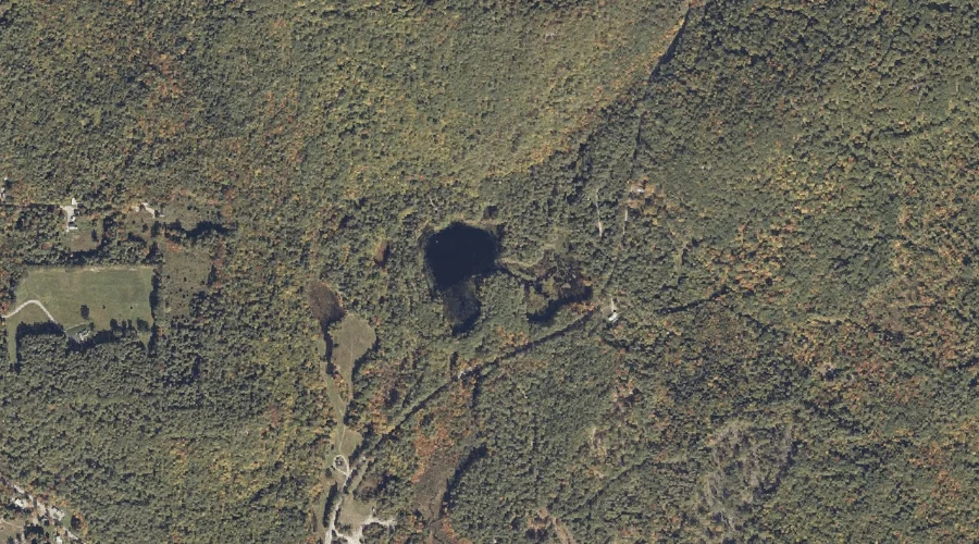
Jaybird Pond is a lake in Oxford County, Maine, located about 38.3 miles south of Chapman Inn in Bethel, Maine. It appears on the USGS Kezar Falls topographic…