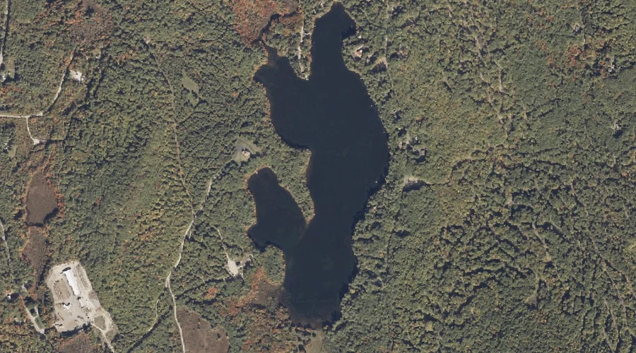
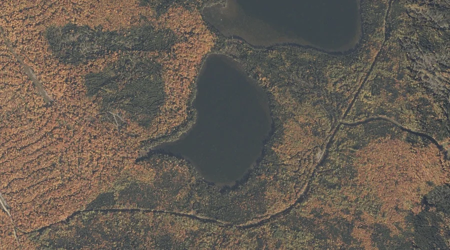
Clemons Pond is a lake in Oxford County, Maine, located about 36.8 miles south of Chapman Inn in Bethel, Maine. It appears on the USGS Brownfield topographic quadrangle.
Low Aziscohos Mountain is a summit in Oxford County, Maine, located about 36.8 miles north-northwest of Chapman Inn in Bethel, Maine. It appears on the USGS Richardson Pond…
Smalls Mountain is a summit in Oxford County, Maine, located about 36.9 miles south of Chapman Inn in Bethel, Maine. It appears on the USGS Cornish topographic quadrangle.
Aziscohos Mountain is a summit in Oxford County, Maine, located about 36.7 miles north-northwest of Chapman Inn in Bethel, Maine. It appears on the USGS Wilsons Mills topographic…
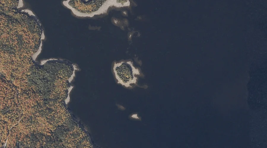
Shelter Island is a island in Oxford County, Maine, located about 36.6 miles north of Chapman Inn in Bethel, Maine. It appears on the USGS Oquossoc topographic quadrangle.
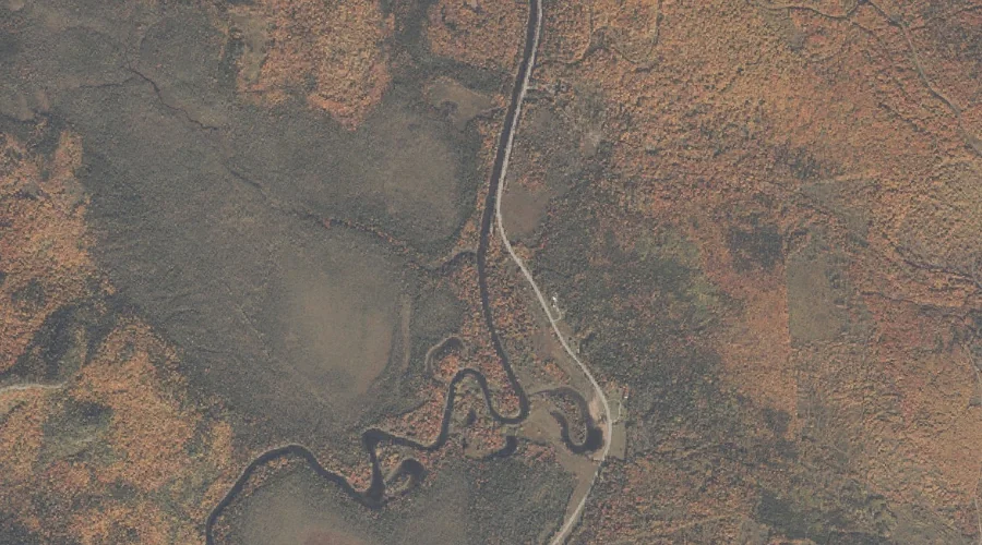
Hancock Brook is a stream in Oxford County, Maine, located about 36.4 miles south of Chapman Inn in Bethel, Maine. It appears on the USGS Hiram topographic quadrangle.
Sugarloaf is a summit in Oxford County, Maine, located about 36.3 miles south-southwest of Chapman Inn in Bethel, Maine. It appears on the USGS Brownfield topographic quadrangle.
East Richardson Ponds is a lake in Oxford County, Maine, located about 36.2 miles north of Chapman Inn in Bethel, Maine. It appears on the USGS Richardson Pond…
Meadow Brook is a stream in Oxford County, Maine, located about 36.1 miles north-northwest of Chapman Inn in Bethel, Maine. It appears on the USGS Wilsons Mills topographic…
Farrington Island is a island in Oxford County, Maine, located about 36.2 miles north of Chapman Inn in Bethel, Maine. It appears on the USGS Oquossoc topographic quadrangle.