 Aerial imagery: USGS National Map (public domain)
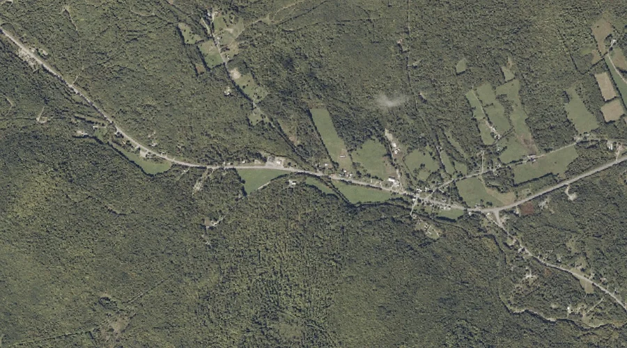
Hugh Brook — Streams 26.2 Miles ENE of Chapman Inn
Oxford County, Maine · USGS East Dixfield Quadrangle · GNIS 568440
26.2 miles east-northeast of Chapman Inn, on the USGS East Dixfield topographic quadrangle, Hugh Brook is a stream recorded in Oxford County, Maine by the federal Geographic Names Information System.
Landmark Profile
Classification & USGS reference
The USGS East Dixfield 7.5-minute topographic quadrangle places Hugh Brook in Oxford County, Maine (FIPS 23/017), classified as a stream in the federal GNIS (Feature ID 568440). Catalogued in GNIS since 09/30/1980.
Coordinates & physical setting
Hugh Brook sits at 44.57478° N, 70.31312° W (DMS 44°34′29″ N, 70°18′47″ W).
As a linear feature its source lies near 44.54417° N, 70.34083° W (DMS 44°32′39″ N, 70°20′27″ W) — useful for anglers and paddlers tracing the upstream end.
Other streams in Oxford County, Maine
Oxford County, ME contains 296 streams catalogued in the USGS Geographic Names Information System, counting Hugh Brook itself. The ones closest to Hugh Brook:
| Feature | USGS Quadrangle | Distance |
|---|---|---|
| Gordon Brook | Dixfield | 3.3 mi |
| Fletcher Brook | East Dixfield | 5 mi |
| Beaver Pond Brook | Dixfield | 5.4 mi |
| Ludden Brook | Canton | 5.9 mi |
| Newton Brook | Dixfield | 6.4 mi |
| Worthley Brook | Canton | 6.5 mi |
| Upper Stony Brook | Dixfield | 6.5 mi |
| Lower Stony Brook | Dixfield | 6.5 mi |
| Staples Brook | Dixfield | 7.2 mi |
| Aunt Hannah Brook | Dixfield | 7.4 mi |
Features on the USGS East Dixfield Quadrangle
The East Dixfield 7.5-minute topographic quadrangle holds 30 catalogued natural features alongside Hugh Brook. A sampling nearest to this location:
| Feature | Type | County | Offset |
|---|---|---|---|
| Butterfield Brook | Streams | Franklin County, ME | 0.6 mi |
| Potash Brook | Streams | Franklin County, ME | 0.8 mi |
| Butterfield Hill | Summits | Franklin County, ME | 1.1 mi |
| Cram Brook | Streams | Franklin County, ME | 1.5 mi |
| Tucker Valley Brook | Streams | Franklin County, ME | 1.6 mi |
| Science Hill | Summits | Oxford County, ME | 1.6 mi |
| Severy Hill | Summits | Oxford County, ME | 1.8 mi |
| Law Mountain | Summits | Franklin County, ME | 1.9 mi |
| Allen Brook | Streams | Franklin County, ME | 2 mi |
| Walker Hill | Summits | Franklin County, ME | 2.2 mi |
Visiting from Chapman Inn
Distance, bearing & drive time
Chapman Inn sits 26.2 miles east-northeast (bearing ENE) of Hugh Brook. At moderate back-road speeds the drive runs about 45 minutes — comfortably inside a half-day outing window after breakfast.
Best time to visit
Best observed in late spring and early summer when flow is strong and banks are visible. At this latitude (44.575°), the shoulder seasons are workable — April and November can be comfortable on mild years. At 26.2 miles from the Inn, block the full day — sunrise start, late return, packed meals. Conditions at Hugh Brook track the nearby Butterfield Brook stream (0.6 mi away) closely — if that is runnable, so is this.
Nearest features to Hugh Brook
| Feature | Type | County | Distance |
|---|---|---|---|
| Butterfield Brook | Streams | Franklin County, ME | 0.6 mi |
| Potash Brook | Streams | Franklin County, ME | 0.8 mi |
| Butterfield Hill | Summits | Franklin County, ME | 1.1 mi |
| Cram Brook | Streams | Franklin County, ME | 1.5 mi |
| Tucker Valley Brook | Streams | Franklin County, ME | 1.6 mi |
Frequently Asked Questions
Where is Hugh Brook located?
Hugh Brook is in Oxford County, Maine, approximately 26.2 miles east-northeast of Chapman Inn in Bethel, Maine. It appears on the USGS East Dixfield topographic quadrangle.
How far is Hugh Brook from Chapman Inn?
The drive runs about 45 minutes, 26.2 miles east-northeast (bearing ENE) of the Inn.
What type of natural feature is Hugh Brook?
The U.S. Geological Survey classifies Hugh Brook as a stream, catalogued under GNIS Feature ID 568440 on the East Dixfield quadrangle.
When is the best time to visit Hugh Brook?
Best observed in late spring and early summer when flow is strong and banks are visible.
How many other streams are in Oxford County, Maine?
GNIS lists 295 other streams in Oxford County, Maine.