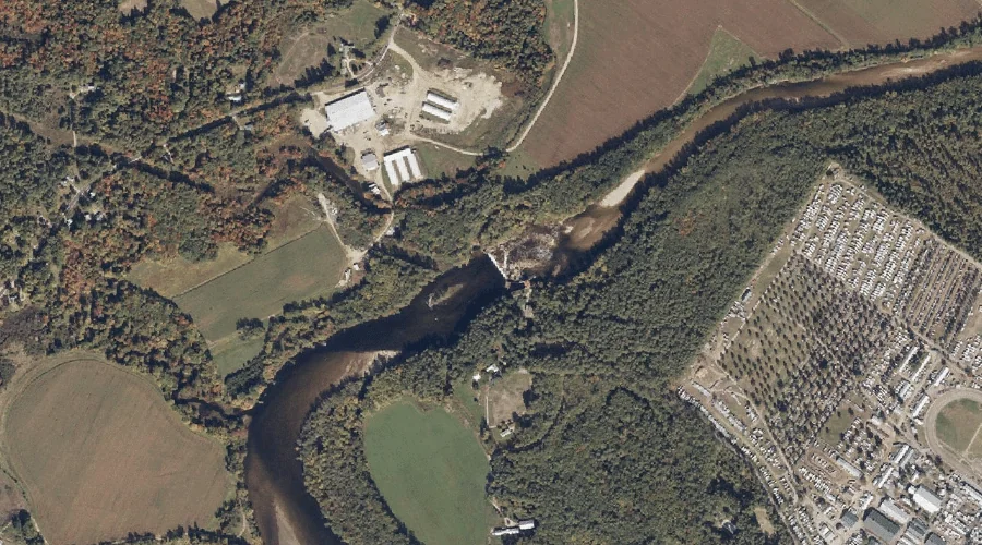
Saco River Reservoir is a reservoir in Oxford County, Maine, located about 27.1 miles south-southwest of Chapman Inn in Bethel, Maine. It appears on the USGS Fryeburg topographic…
Greely Brook is a stream in Oxford County, Maine, located about 27.0 miles south-southeast of Chapman Inn in Bethel, Maine. It appears on the USGS Casco topographic quadrangle.
Stanley Hill is a summit in Oxford County, Maine, located about 27.0 miles south of Chapman Inn in Bethel, Maine. It appears on the USGS Fryeburg topographic quadrangle.
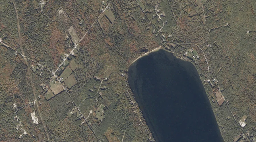
Frog Pond is a lake in Oxford County, Maine, located about 27.0 miles southeast of Chapman Inn in Bethel, Maine. It appears on the USGS Mechanic Falls topographic…
Shaking Bog is a swamp in Oxford County, Maine, located about 27.1 miles south of Chapman Inn in Bethel, Maine. It appears on the USGS Pleasant Mountain topographic…
B Brook is a stream in Oxford County, Maine, located about 26.9 miles north-northwest of Chapman Inn in Bethel, Maine. It appears on the USGS Umbagog Lake North…
Mott Stream is a stream in Oxford County, Maine, located about 26.9 miles north-northeast of Chapman Inn in Bethel, Maine. It appears on the USGS Houghton topographic quadrangle.
Dean Hill is a summit in Oxford County, Maine, located about 26.9 miles southeast of Chapman Inn in Bethel, Maine. It appears on the USGS Mechanic Falls topographic…
Inlet Ridge is a ridge in Oxford County, Maine, located about 26.9 miles north-northwest of Chapman Inn in Bethel, Maine. It appears on the USGS Middle Dam topographic…
Tiger Hill is a summit in Oxford County, Maine, located about 26.8 miles southeast of Chapman Inn in Bethel, Maine. It appears on the USGS Mechanic Falls topographic…