 Aerial imagery: USGS National Map (public domain)
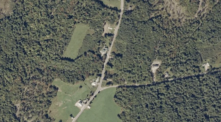
Brighton Hill — Summits 25.9 Miles ESE of Chapman Inn
Oxford County, Maine · USGS Lake Auburn West Quadrangle · GNIS 562972
Catalogued on the USGS Lake Auburn West quadrangle in Oxford County, Maine, Brighton Hill — a summit — lies 25.9 miles east-southeast of Chapman Inn.
Landmark Profile
Classification & USGS reference
Catalogued under GNIS Feature ID 562972, Brighton Hill is recorded as a summit on the USGS Lake Auburn West quadrangle in Oxford County, Maine (FIPS 23/017). Last revised by the Board on Geographic Names on 07/02/2022.
Coordinates & physical setting
Brighton Hill sits at 44.20856° N, 70.34279° W (DMS 44°12′31″ N, 70°20′34″ W).
Other summits in Oxford County, Maine
Oxford County, ME contains 438 summits catalogued in the USGS Geographic Names Information System, counting Brighton Hill itself. The ones closest to Brighton Hill:
| Feature | USGS Quadrangle | Elevation | Distance |
|---|---|---|---|
| Greenwood Mountain | Oxford | — | 1.7 mi |
| Whitman Hill | Lake Auburn West | — | 2.9 mi |
| Ben Barrows Hill | Oxford | — | 3 mi |
| Stone Hill | Oxford | — | 3.7 mi |
| Number 4 Hill | Oxford | — | 3.8 mi |
| Mount Marie | Oxford | — | 4 mi |
| Little Singepole Mountain | Oxford | — | 4.4 mi |
| Streaked Mountain | Oxford | — | 4.9 mi |
| Irish Hill | Buckfield | — | 5.3 mi |
| Thomas Hill | Oxford | — | 5.3 mi |
Features on the USGS Lake Auburn West Quadrangle
The Lake Auburn West 7.5-minute topographic quadrangle holds 29 catalogued natural features alongside Brighton Hill. A sampling nearest to this location:
| Feature | Type | County | Offset |
|---|---|---|---|
| Bicknell Brook | Streams | Oxford County, ME | 0.7 mi |
| Allen Brook | Streams | Oxford County, ME | 1.5 mi |
| Hersey Hill | Summits | Androscoggin County, ME | 1.9 mi |
| Woodward Mountain | Summits | Androscoggin County, ME | 2.1 mi |
| Mud Pond | Lakes | Androscoggin County, ME | 2.4 mi |
| Mud Pond | Lakes | Oxford County, ME | 2.6 mi |
| Little Wilson Pond | Lakes | Androscoggin County, ME | 2.7 mi |
| Bradbury Hill | Summits | Androscoggin County, ME | 2.8 mi |
| Gauthier Hill | Summits | Androscoggin County, ME | 2.8 mi |
| Whitman Hill | Summits | Oxford County, ME | 2.9 mi |
Visiting from Chapman Inn
Distance, bearing & drive time
A 44-minute drive along back roads separates the front door of Chapman Inn from Brighton Hill — 25.9 miles east-southeast as the crow flies, on compass bearing ESE.
Best time to visit
Accessible May through November in most years. At this latitude (44.209°), the shoulder seasons are workable — April and November can be comfortable on mild years. At 25.9 miles from the Inn, block the full day — sunrise start, late return, packed meals. Conditions at Brighton Hill track the nearby Bicknell Brook stream (0.7 mi away) closely — if that is runnable, so is this.
Nearest features to Brighton Hill
| Feature | Type | County | Distance |
|---|---|---|---|
| Bicknell Brook | Streams | Oxford County, ME | 0.7 mi |
| Allen Brook | Streams | Oxford County, ME | 1.5 mi |
| Greenwood Mountain | Summits | Oxford County, ME | 1.7 mi |
| Hersey Hill | Summits | Androscoggin County, ME | 1.9 mi |
| Woodward Mountain | Summits | Androscoggin County, ME | 2.1 mi |
Frequently Asked Questions
Where is Brighton Hill located?
Brighton Hill is in Oxford County, Maine, approximately 25.9 miles east-southeast of Chapman Inn in Bethel, Maine. It appears on the USGS Lake Auburn West topographic quadrangle.
How far is Brighton Hill from Chapman Inn?
The drive runs about 44 minutes, 25.9 miles east-southeast (bearing ESE) of the Inn.
What type of natural feature is Brighton Hill?
The U.S. Geological Survey classifies Brighton Hill as a summit, catalogued under GNIS Feature ID 562972 on the Lake Auburn West quadrangle.
When is the best time to visit Brighton Hill?
Accessible May through November in most years.
How many other summits are in Oxford County, Maine?
GNIS lists 437 other summits in Oxford County, Maine.