Byrons Hill is a summit in Cumberland County, Maine, located about 29.0 miles south of Chapman Inn in Bethel, Maine. It appears on the USGS North Sebago topographic…
Kellys Point is a cape in Cumberland County, Maine, located about 29.1 miles south-southeast of Chapman Inn in Bethel, Maine. It appears on the USGS Bridgton topographic quadrangle.
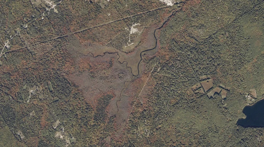
Molly Gut is a natural feature in Cumberland County, Maine, located about 28.6 miles south-southeast of Chapman Inn in Bethel, Maine. It appears on the USGS Casco topographic…
Long Point is a cape in Cumberland County, Maine, located about 28.7 miles south-southeast of Chapman Inn in Bethel, Maine. It appears on the USGS Bridgton topographic quadrangle.
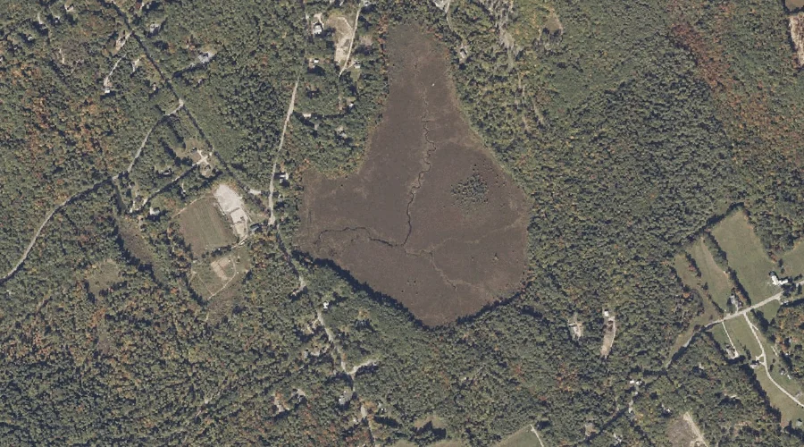
Pitts Meadow is a swamp in Cumberland County, Maine, located about 28.8 miles south-southeast of Chapman Inn in Bethel, Maine. It appears on the USGS Casco topographic quadrangle.
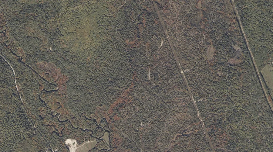
Cold Brook is a stream in Cumberland County, Maine, located about 28.5 miles south-southeast of Chapman Inn in Bethel, Maine. It appears on the USGS Casco topographic quadrangle.
Adams Pond is a reservoir in Cumberland County, Maine, located about 28.6 miles south of Chapman Inn in Bethel, Maine. It appears on the USGS North Sebago topographic…
Day Brook is a stream in Cumberland County, Maine, located about 28.1 miles south of Chapman Inn in Bethel, Maine. It appears on the USGS Bridgton topographic quadrangle.
Dearborn Hill is a summit in Cumberland County, Maine, located about 28.1 miles south of Chapman Inn in Bethel, Maine. It appears on the USGS Bridgton topographic quadrangle.
Choate Hill is a summit in Cumberland County, Maine, located about 27.9 miles south of Chapman Inn in Bethel, Maine. It appears on the USGS Bridgton topographic quadrangle.