 Aerial imagery: USGS National Map (public domain)
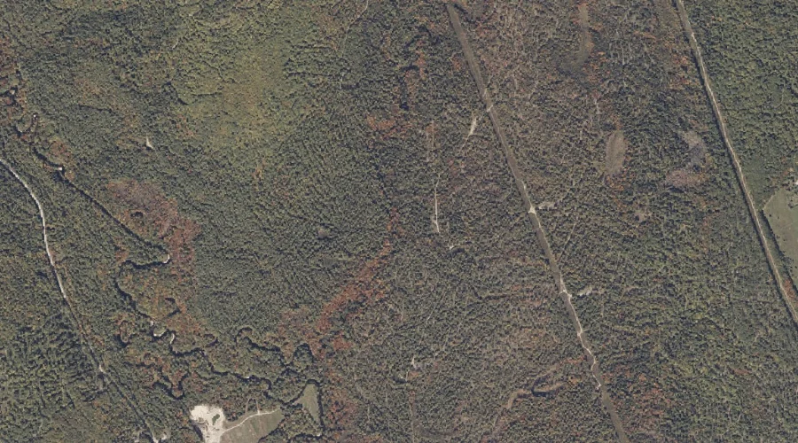
Cold Brook — Streams 28.5 Miles SSE of Chapman Inn
Cumberland County, Maine · USGS Casco Quadrangle · GNIS 564177
28.5 miles south-southeast of Chapman Inn, on the USGS Casco topographic quadrangle, Cold Brook is a stream recorded in Cumberland County, Maine by the federal Geographic Names Information System.
Landmark Profile
Classification & USGS reference
The USGS Casco 7.5-minute topographic quadrangle places Cold Brook in Cumberland County, Maine (FIPS 23/005), classified as a stream in the federal GNIS (Feature ID 564177). Catalogued in GNIS since 09/30/1980.
Coordinates & physical setting
Cold Brook sits at 44.02368° N, 70.56728° W (DMS 44°01′25″ N, 70°34′02″ W).
As a linear feature its source lies near 44.02000° N, 70.55028° W (DMS 44°01′12″ N, 70°33′01″ W) — useful for anglers and paddlers tracing the upstream end.
Other streams in Cumberland County, Maine
Cumberland County, ME contains 110 streams catalogued in the USGS Geographic Names Information System, counting Cold Brook itself. The ones closest to Cold Brook:
| Feature | USGS Quadrangle | Distance |
|---|---|---|
| Smith Brook | Casco | 0.6 mi |
| Burgess Brook | Casco | 1.1 mi |
| Eastman Brook | Casco | 1.8 mi |
| Bartlett Brook | Naples | 2.5 mi |
| Decker Brook | Naples | 2.6 mi |
| Mill Brook | Naples | 2.9 mi |
| Thomes Brook | Bridgton | 3.8 mi |
| Tingley Brook | North Sebago | 4.4 mi |
| Russell Brook | Casco | 4.9 mi |
| Carsley Brook | Bridgton | 5.6 mi |
Features on the USGS Casco Quadrangle
The Casco 7.5-minute topographic quadrangle holds 46 catalogued natural features alongside Cold Brook. A sampling nearest to this location:
| Feature | Type | County | Offset |
|---|---|---|---|
| Molly Gut | Other Natural Features | Cumberland County, ME | 0.2 mi |
| Smith Brook | Streams | Cumberland County, ME | 0.6 mi |
| Ted Swamp | Swamps | Cumberland County, ME | 0.8 mi |
| Jugtown Plain | Other Natural Features | Cumberland County, ME | 0.9 mi |
| Long Meadows | Swamps | Oxford County, ME | 1.1 mi |
| Burgess Brook | Streams | Cumberland County, ME | 1.1 mi |
| Poplar Ridge | Ridges | Oxford County, ME | 1.3 mi |
| College Swamp Brook | Streams | Oxford County, ME | 1.6 mi |
| Eastman Brook | Streams | Cumberland County, ME | 1.8 mi |
| Chaplin Hill | Summits | Cumberland County, ME | 1.8 mi |
Visiting from Chapman Inn
Distance, bearing & drive time
Chapman Inn sits 28.5 miles south-southeast (bearing SSE) of Cold Brook. At moderate back-road speeds the drive runs about 49 minutes — comfortably inside a half-day outing window after breakfast.
Best time to visit
Best observed in late spring and early summer when flow is strong and banks are visible. At this latitude (44.024°), the shoulder seasons are workable — April and November can be comfortable on mild years. At 28.5 miles from the Inn, block the full day — sunrise start, late return, packed meals. Conditions at Cold Brook track the nearby Molly Gut natural feature (0.2 mi away) closely — if that is runnable, so is this.
Nearest features to Cold Brook
| Feature | Type | County | Distance |
|---|---|---|---|
| Molly Gut | Other Natural Features | Cumberland County, ME | 0.2 mi |
| Smith Brook | Streams | Cumberland County, ME | 0.6 mi |
| Ted Swamp | Swamps | Cumberland County, ME | 0.8 mi |
| Jugtown Plain | Other Natural Features | Cumberland County, ME | 0.9 mi |
| Long Meadows | Swamps | Oxford County, ME | 1.1 mi |
Frequently Asked Questions
Where is Cold Brook located?
Cold Brook is in Cumberland County, Maine, approximately 28.5 miles south-southeast of Chapman Inn in Bethel, Maine. It appears on the USGS Casco topographic quadrangle.
How far is Cold Brook from Chapman Inn?
The drive runs about 49 minutes, 28.5 miles south-southeast (bearing SSE) of the Inn.
What type of natural feature is Cold Brook?
The U.S. Geological Survey classifies Cold Brook as a stream, catalogued under GNIS Feature ID 564177 on the Casco quadrangle.
When is the best time to visit Cold Brook?
Best observed in late spring and early summer when flow is strong and banks are visible.
How many other streams are in Cumberland County, Maine?
GNIS lists 109 other streams in Cumberland County, Maine.