Chaplin Hill is a summit in Cumberland County, Maine, located about 27.8 miles south-southeast of Chapman Inn in Bethel, Maine. It appears on the USGS Casco topographic quadrangle.
Randall Hill is a summit in Cumberland County, Maine, located about 27.7 miles south-southeast of Chapman Inn in Bethel, Maine. It appears on the USGS Casco topographic quadrangle.
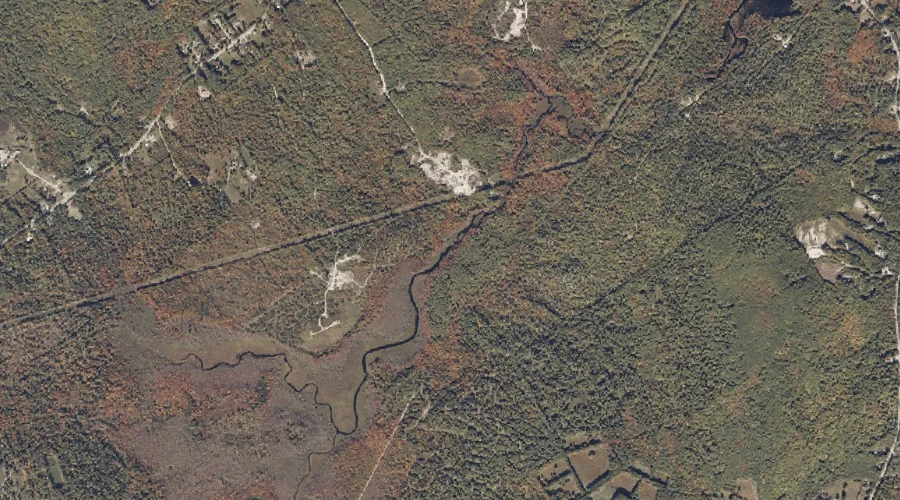
Jack Branch is a stream in Cumberland County, Maine, located about 27.6 miles south of Chapman Inn in Bethel, Maine. It appears on the USGS Bridgton topographic quadrangle.
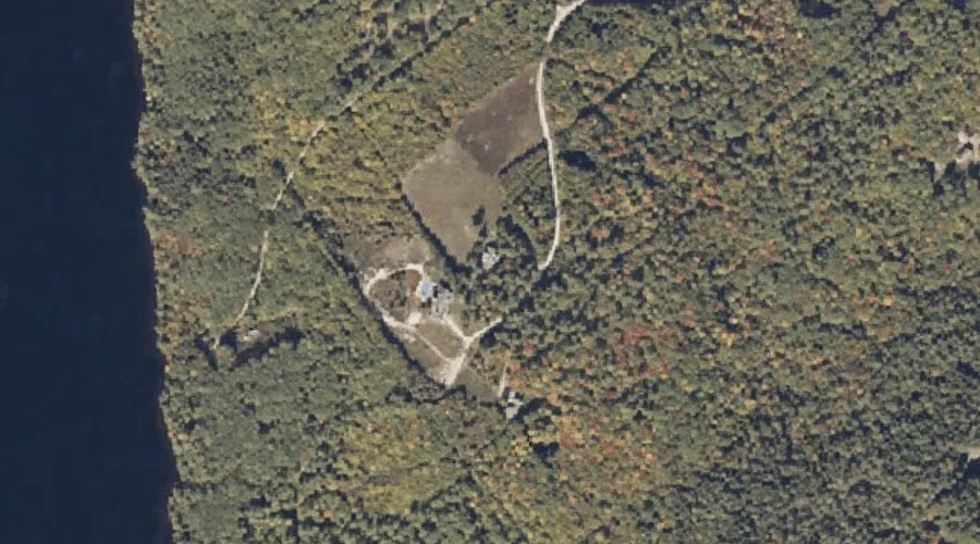
Bear Point is a cape in Cumberland County, Maine, located about 27.7 miles south-southeast of Chapman Inn in Bethel, Maine. It appears on the USGS Bridgton topographic quadrangle.
Fogg Mountain is a summit in Cumberland County, Maine, located about 27.5 miles south-southeast of Chapman Inn in Bethel, Maine. It appears on the USGS Casco topographic quadrangle.
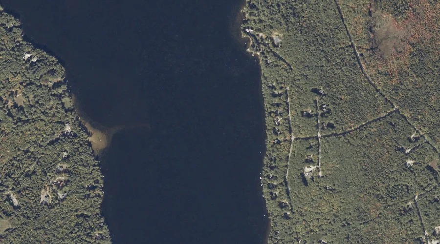
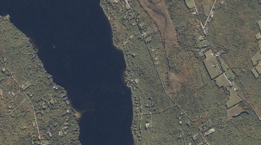
Long Lake is a lake in Cumberland County, Maine, located about 27.2 miles south-southeast of Chapman Inn in Bethel, Maine. It appears on the USGS Bridgton topographic quadrangle.
Packard Hill is a summit in Cumberland County, Maine, located about 27.2 miles south-southeast of Chapman Inn in Bethel, Maine. It appears on the USGS Bridgton topographic quadrangle.
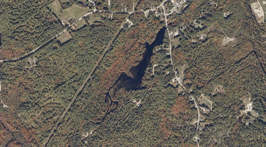
Willett Brook is a reservoir in Cumberland County, Maine, located about 27.0 miles south of Chapman Inn in Bethel, Maine. It appears on the USGS Bridgton topographic quadrangle.
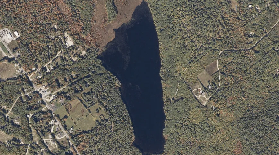
Otter Pond is a lake in Cumberland County, Maine, located about 27.0 miles south-southeast of Chapman Inn in Bethel, Maine. It appears on the USGS Bridgton topographic quadrangle.
Thomes Brook is a stream in Cumberland County, Maine, located about 26.9 miles south-southeast of Chapman Inn in Bethel, Maine. It appears on the USGS Bridgton topographic quadrangle.