Pine Island is a island in Cumberland County, Maine, located about 29.4 miles south-southeast of Chapman Inn in Bethel, Maine. It appears on the USGS North Sebago topographic…
Burgess Brook is a stream in Cumberland County, Maine, located about 29.4 miles south-southeast of Chapman Inn in Bethel, Maine. It appears on the USGS Casco topographic quadrangle.
Eastman Brook is a stream in Cumberland County, Maine, located about 29.6 miles south-southeast of Chapman Inn in Bethel, Maine. It appears on the USGS Casco topographic quadrangle.
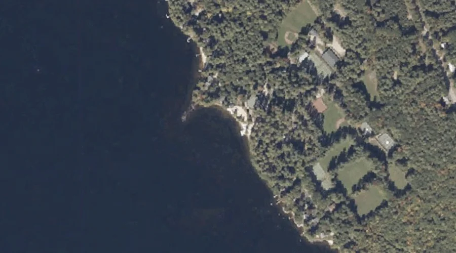
Keoka Point is a cape in Cumberland County, Maine, located about 29.6 miles south-southeast of Chapman Inn in Bethel, Maine. It appears on the USGS Naples topographic quadrangle.
Tingley Brook is a stream in Cumberland County, Maine, located about 29.3 miles south-southeast of Chapman Inn in Bethel, Maine. It appears on the USGS North Sebago topographic…
Jugtown Plain is a natural feature in Cumberland County, Maine, located about 29.4 miles south-southeast of Chapman Inn in Bethel, Maine. It appears on the USGS Casco topographic…
Ministers Hill is a summit in Cumberland County, Maine, located about 29.4 miles south of Chapman Inn in Bethel, Maine. It appears on the USGS North Sebago topographic…
Ted Swamp is a swamp in Cumberland County, Maine, located about 29.2 miles south-southeast of Chapman Inn in Bethel, Maine. It appears on the USGS Casco topographic quadrangle.
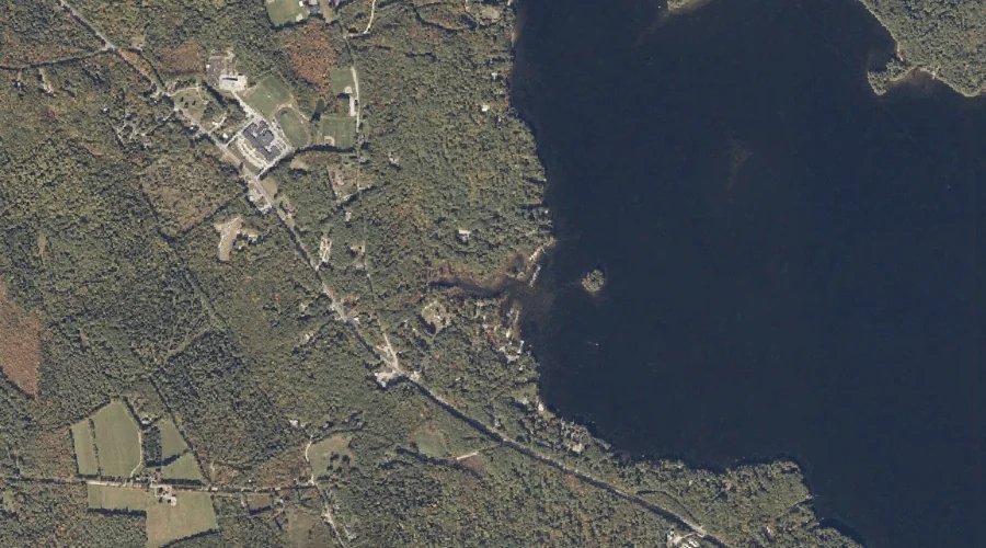
Edwards Cove is a bay in Cumberland County, Maine, located about 29.2 miles south-southeast of Chapman Inn in Bethel, Maine. It appears on the USGS Mechanic Falls topographic…
Smith Brook is a stream in Cumberland County, Maine, located about 28.9 miles south-southeast of Chapman Inn in Bethel, Maine. It appears on the USGS Casco topographic quadrangle.