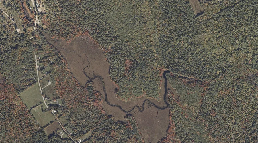
Perley Meadow is a swamp in Cumberland County, Maine, located about 30.3 miles south-southeast of Chapman Inn in Bethel, Maine. It appears on the USGS North Sebago topographic…
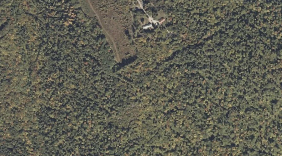
Fitch Hill is a summit in Cumberland County, Maine, located about 30.0 miles south of Chapman Inn in Bethel, Maine. It appears on the USGS North Sebago topographic…
Gristmill Brook is a stream in Cumberland County, Maine, located about 30.0 miles south of Chapman Inn in Bethel, Maine. It appears on the USGS North Sebago topographic…
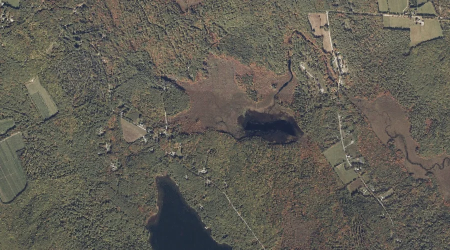
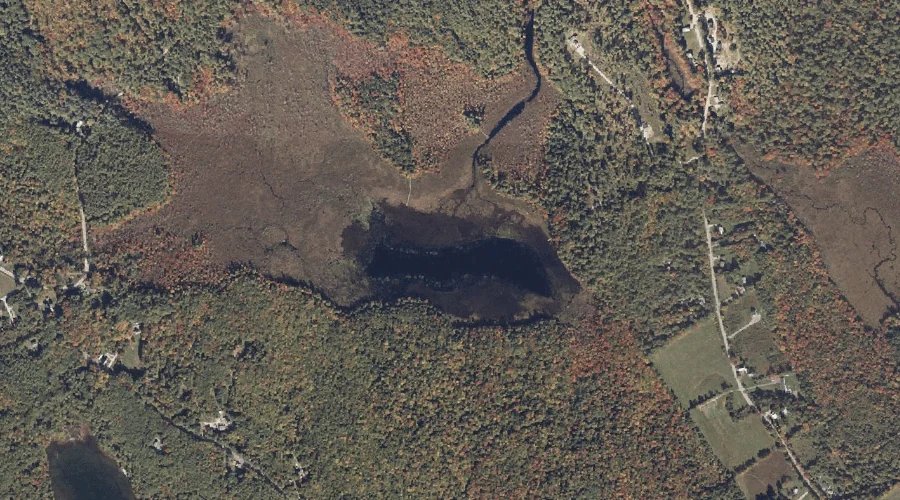
Holt Pond is a lake in Cumberland County, Maine, located about 30.1 miles south of Chapman Inn in Bethel, Maine. It appears on the USGS North Sebago topographic…
Skid Hill is a summit in Cumberland County, Maine, located about 30.1 miles south-southeast of Chapman Inn in Bethel, Maine. It appears on the USGS North Sebago topographic…
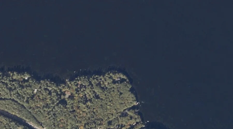
Arrowhead Point is a cape in Cumberland County, Maine, located about 29.9 miles south-southeast of Chapman Inn in Bethel, Maine. It appears on the USGS Naples topographic quadrangle.
Stimpsons Point is a cape in Cumberland County, Maine, located about 29.9 miles south-southeast of Chapman Inn in Bethel, Maine. It appears on the USGS North Sebago topographic…
Mast Cove is a bay in Cumberland County, Maine, located about 29.6 miles south-southeast of Chapman Inn in Bethel, Maine. It appears on the USGS North Sebago topographic…
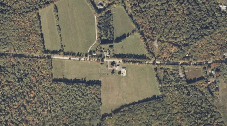
Mayberry Hill is a summit in Cumberland County, Maine, located about 29.7 miles south-southeast of Chapman Inn in Bethel, Maine. It appears on the USGS Casco topographic quadrangle.
Perley Hill is a summit in Cumberland County, Maine, located about 29.7 miles south-southeast of Chapman Inn in Bethel, Maine. It appears on the USGS North Sebago topographic…