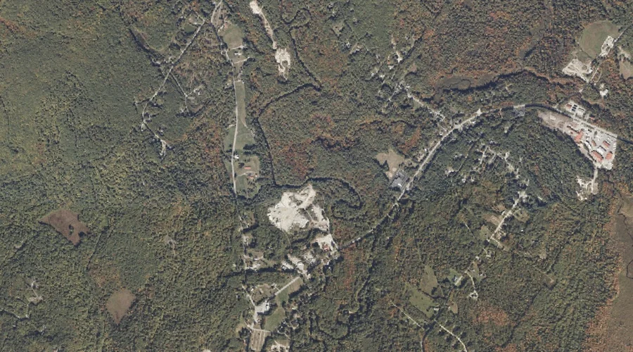
Mill Brook is a stream in Cumberland County, Maine, located about 31.2 miles south-southeast of Chapman Inn in Bethel, Maine. It appears on the USGS Naples topographic quadrangle.
Decker Brook is a stream in Cumberland County, Maine, located about 31.1 miles south-southeast of Chapman Inn in Bethel, Maine. It appears on the USGS Naples topographic quadrangle.
Pine Hill is a summit in Cumberland County, Maine, located about 30.8 miles south-southeast of Chapman Inn in Bethel, Maine. It appears on the USGS Casco topographic quadrangle.
Bartlett Brook is a stream in Cumberland County, Maine, located about 30.8 miles south-southeast of Chapman Inn in Bethel, Maine. It appears on the USGS Naples topographic quadrangle.
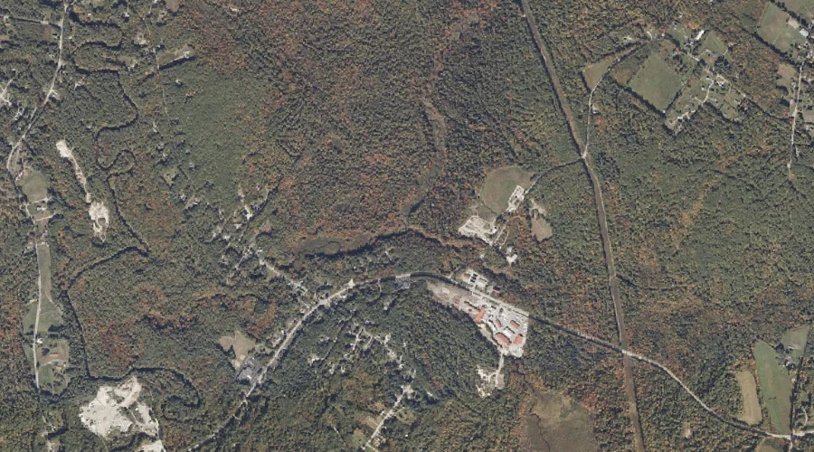
Heath Island is a island in Cumberland County, Maine, located about 30.9 miles south-southeast of Chapman Inn in Bethel, Maine. It appears on the USGS Mechanic Falls topographic…
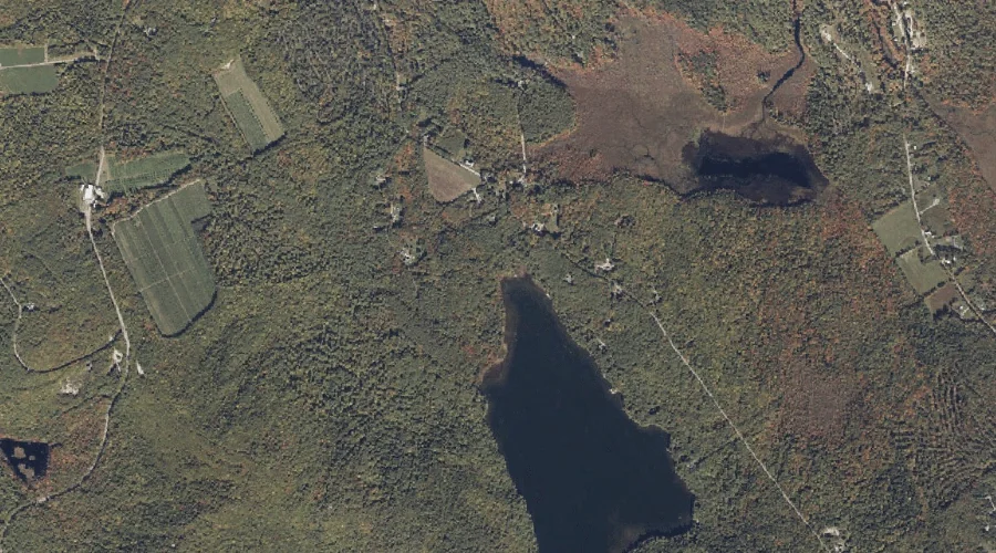
Bald Pate Mountain is a summit in Cumberland County, Maine, located about 30.9 miles south of Chapman Inn in Bethel, Maine. It appears on the USGS North Sebago…
Parsons Point is a cape in Cumberland County, Maine, located about 30.6 miles south-southeast of Chapman Inn in Bethel, Maine. It appears on the USGS Mechanic Falls topographic…
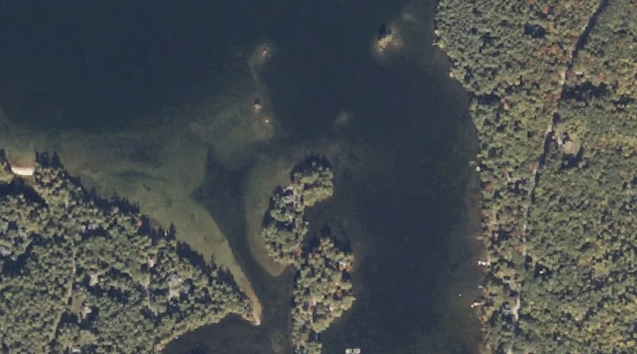
Foster Pond is a lake in Cumberland County, Maine, located about 30.7 miles south of Chapman Inn in Bethel, Maine. It appears on the USGS North Sebago topographic…
Birch Point is a cape in Cumberland County, Maine, located about 30.7 miles south-southeast of Chapman Inn in Bethel, Maine. It appears on the USGS Naples topographic quadrangle.
Town Farm Brook is a stream in Cumberland County, Maine, located about 30.2 miles south of Chapman Inn in Bethel, Maine. It appears on the USGS North Sebago…